New positioning tools streamline survey operations

Trimble has launched a range of new tools which it says will deliver faster and more accurate data to surveyors. The Trimble S6 Robotic Total Station with Trimble Vision Technology enables surveyors to remotely see and measure through a live video feed from the instrument on their data controller.
March 14, 2012 Read time: 2 mins

Trimble has launched a range of new tools which it says will deliver faster and more accurate data to surveyors.

The 2122 Trimble S6 Robotic 344 Total Station with Trimble Vision Technology enables surveyors to remotely see and measure through a live video feed from the instrument on their data controller. By integrating survey data with the live video, surveyors can verify their work and ensure that they have captured everything before leaving a site.

Meanwhile, the Trimble M3 Total Station with Trimble Access Field Software allows surveyors to import road definitions from third-party sources, enabling users to input a complete road definition including horizontal and vertical alignments, templates and superelevation, and widening records. Users are guided through fast offsets, slope staking, real-time redesign and real-time quality control.

Further new tools include the Trimble GeoExplorer, the Trimble Business Center Software version 2.60, and the Trimble Access Field Software Developers Kit (SDK).
Anders Rhodin, director of Trimble’s Survey Business, said: “Trimble’s portfolio of solutions gives surveyors improved workflows for field data collection, enhanced collaboration between the field and the office and tools to output final deliverables to clients. In total, the solutions can streamline operations to help keep project costs on target."

For more information on companies in this article

Related Content

  • Remote surveying and scanning
    January 18, 2022
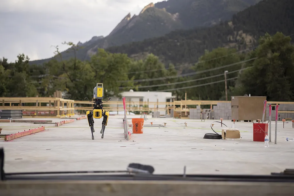
    Remote surveying and scanning can be achieved using the autonomous robotic system available from Trimble. The package combines the Spot robot autonomous rover unit with the Trimble X7 3D laser scanner and Trimble FieldLink software.
  • Software tools aid construction, reduce costs
    February 28, 2012
    Integrated construction software offers an effective planning solution - *Mark Nichols writes. In a world where resources are limited, 20 year designing and building in a sustainable way is more critical than ever. By employing today's software tools it is possible to reduce the total cost of construction of a new highway, while reducing operating costs and environmental impacts. The path to achieving the greatest gains is to take a holistic approach to the plan, design, construct and operate process from t
  • Wider range of survey software functionality
    February 9, 2012
    Leica Geosystems is offering a broad spread of new packages and hardware that will deliver improved performance to users. The firmware 2.0 product is said to add powerful new capabilities to the Leica ScanStation C10, the industry's most popular 3D laser scanner for as-built and topographic surveys. This further increases the productivity and versatility of the fully integrated, cable-less ScanStation C10. A new Setup facility lets users take advantage of known survey points and backsighting, while remote,
  • Fast field data collection
    February 10, 2012
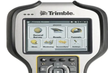
    Trimble's sophisticated TSC3 controller is designed to allow surveyors and geospatial professionals to collect, share and deliver data. This unit is said to improve accuracy, efficiency and productivity between the field and office and is designed to be used with the Trimble Access software. The TSC3 controller offers fast and reliable data collection, computing and connectivity capabilities and provides multiple functions in a single handheld device. The unit incorporates a digital camera, integrated commu