
More accurate mapping

By MJ Woof July 31, 2024 Read time: 1 min
Trimble and Radiodetection have established a collaboration to develop better digital maps of underground utilities

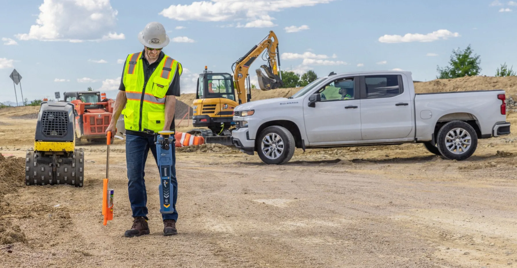
Trimble and Radiodetection have established a collaboration to improve the technology used in the utility measurement and mapping process. Through the integration of the Trimble Catalyst DA2 GNSS system and Radiodetection’s RD MapTM+ application and precision locator products, the software and hardware integration streamlines utility-locating workflows. This can provide high-accuracy measurement capabilities for the generation of underground utilities maps in a single field operation. 

Traditionally, field technicians mark their measurements onsite manually or rely on data entries to provide to office staff for map creation after a site visit. Data collected with the Trimble Catalyst DA2 GNSS system can now be synced with Radiodetection RD Map+ and precision locators that find and mark buried utilities. By streamlining this connection, workers can digitise utility-line locations and reduce costly reporting errors.  

This integration advances utility measurement workflows by giving personnel the capability to accurately represent the utility asset in a digital format. This streamlines the operation, maintenance and construction process whenever utilities are involved. 

For more information on companies in this article

Related Content

  • Topcon’s partnerships
    May 20, 2019
    Topcon has been striking key deals with manufacturers of earthmoving machines to supply machine control packages. The firm has set up arrangements with both JCB and Volvo CE for its sophisticated packages, which will help customers to optimise operations. JCB's new X-Series excavator is now being offered with a sophisticated machine guidance system from Topcon Positioning, which is said to boost productivity by up to 30%. A result of a collaboration between JCB and Topcon Positioning Group, the Topco
  • The IRF is committed to Africa’s Transport Agenda
    March 13, 2014
    Regional Congress to take place June 4-6 in Abuja, Nigeria The 17th IRF World Meeting & Exhibition created opportunities for stakeholder discussions around global as well as regional agendas. More than 50 participants representing heads of government agencies, development partners, academia, and contractors took part in an interactive roundtable discussion on the supply and provision of transport infrastructure on the African continent. Topics ranging from safety to the qualifications needed for th
  • AibotX6 Version 2 uses High Precision GNSS
    January 19, 2016
    Kassel-based company Aibotix has presented a solution for high-precision surveying with Version 2 of its tried and tested surveying hexacopter AibotX6: High Precision GNSS. Aibotix, based in Kassel, in the middle of Germany, develops and manufactures multi-copters for applications in the industrial sector. The company's name is a combination of Ai for artificial intelligence and botix for robotics.
  • Generate real-world ROI with reality modeling!
    September 8, 2022
    Understanding existing site conditions is essential to efficiently design, build, and operate road networks around the world. But how can the real-world be captured quickly and cost-effectively?