More accurate mapping

By MJ Woof July 31, 2024 Read time: 1 min
Trimble and Radiodetection have established a collaboration to develop better digital maps of underground utilities

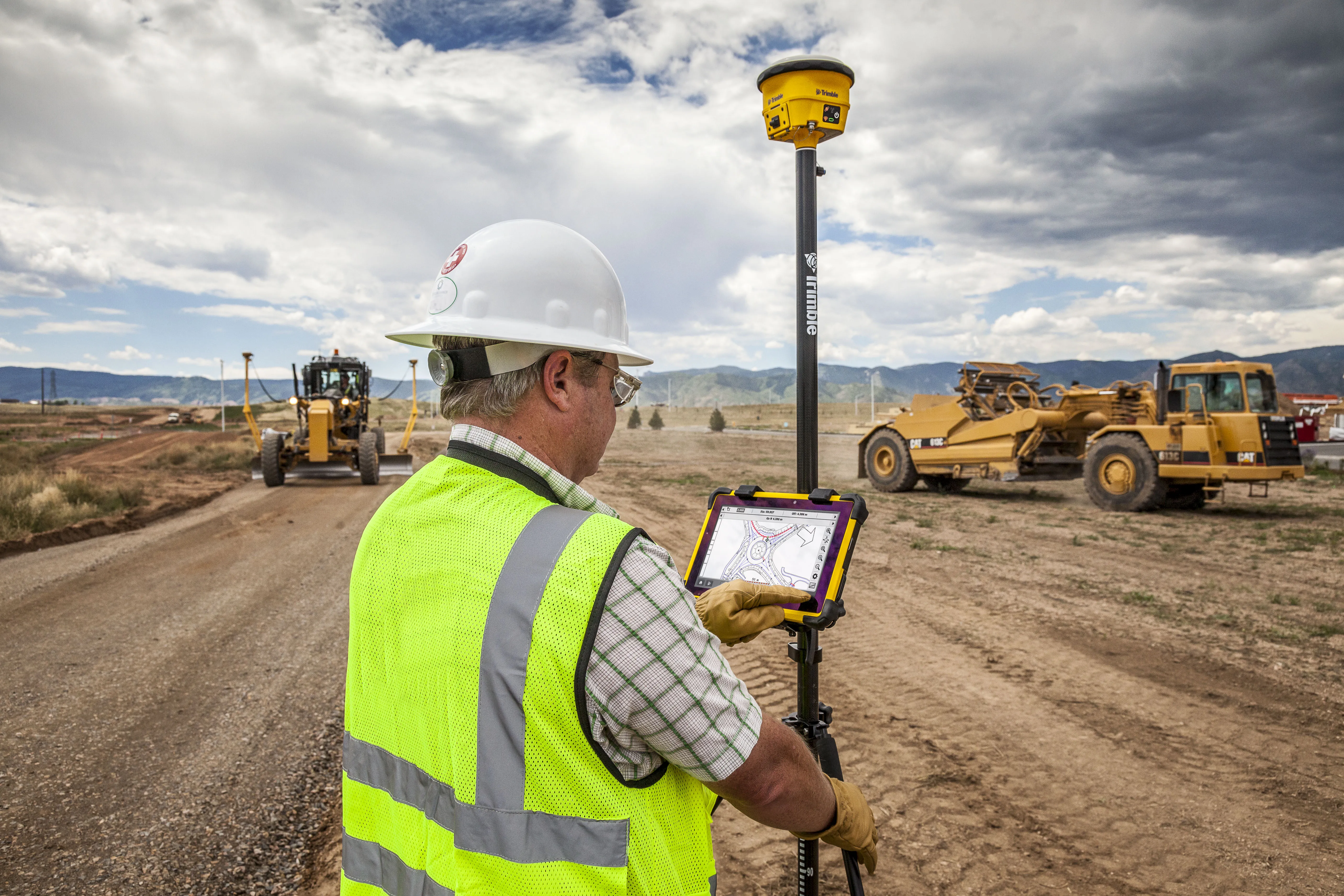
Trimble and Radiodetection have established a collaboration to improve the technology used in the utility measurement and mapping process. Through the integration of the Trimble Catalyst DA2 GNSS system and Radiodetection’s RD MapTM+ application and precision locator products, the software and hardware integration streamlines utility-locating workflows. This can provide high-accuracy measurement capabilities for the generation of underground utilities maps in a single field operation. 

Traditionally, field technicians mark their measurements onsite manually or rely on data entries to provide to office staff for map creation after a site visit. Data collected with the Trimble Catalyst DA2 GNSS system can now be synced with Radiodetection RD Map+ and precision locators that find and mark buried utilities. By streamlining this connection, workers can digitise utility-line locations and reduce costly reporting errors.  

This integration advances utility measurement workflows by giving personnel the capability to accurately represent the utility asset in a digital format. This streamlines the operation, maintenance and construction process whenever utilities are involved. 

For more information on companies in this article

Related Content

  • A sophisticated data communications system is offered by Trimble
    March 8, 2013
    Trimble says that its combined device for mobile communications and surveying data collection offers high performance and reliability. Called the Trimble Slate Controller, this rugged new unit is said to combine the convenience and ease-of-use of a smartphone with durability. Optimised for use with the Trimble Access field software and the Trimble R4 GNSS receiver, the Trimble Slate Controller supports a surveyor’s workflows. Offering voice, SMS text, and 3.75G cellular data transfer capabilities on GSM cel
  • Using radar to deliver a fine runway finish
    April 4, 2014
    Radar Portal Systems (RPS) has spent a lot of time developing its sophisticated pavement top-surface photometric imaging system so it can cater specifically for the aviation market. This has now been specially developed for use on aircraft runways and taxiways The system was recently used at Brisbane Airport to survey runway and runway shoulders, collecting photometric top-surface data at a 4m width at speeds of up to 100km/h. This dataset allows the firm to display meshing data of the runway surface showin
  • Technology and collaboration bring massive time savings
    December 2, 2021
    The link between any major city and its airport is a crucial one. In Auckland, New Zealand, State Highway 20B connects the city of 1.6 million people with the rest of the nation and the international airport, one of only two roads leading there
  • Trimble’s tablet offers data processing on-site
    March 12, 2018
    Trimble has developed its T10 Tablet, which the firm claims is a rugged and high-performance data processing platform for use onsite. The unit offers fast computing power and a large screen and is now available through the SITECH dealer channel for use in civil engineering and construction applications. Its key features include a military-grade ruggedness to cope with tough construction site conditions, a sunlight readable display for reading text, graphics and complex maps under field conditions and a