More accurate mapping

By MJ Woof July 31, 2024 Read time: 1 min
Trimble and Radiodetection have established a collaboration to develop better digital maps of underground utilities

Trimble and Radiodetection have established a collaboration to improve the technology used in the utility measurement and mapping process. Through the integration of the Trimble Catalyst DA2 GNSS system and Radiodetection’s RD MapTM+ application and precision locator products, the software and hardware integration streamlines utility-locating workflows. This can provide high-accuracy measurement capabilities for the generation of underground utilities maps in a single field operation. 

Traditionally, field technicians mark their measurements onsite manually or rely on data entries to provide to office staff for map creation after a site visit. Data collected with the Trimble Catalyst DA2 GNSS system can now be synced with Radiodetection RD Map+ and precision locators that find and mark buried utilities. By streamlining this connection, workers can digitise utility-line locations and reduce costly reporting errors.  

This integration advances utility measurement workflows by giving personnel the capability to accurately represent the utility asset in a digital format. This streamlines the operation, maintenance and construction process whenever utilities are involved. 

For more information on companies in this article

Related Content

  • New Weigh in Motion solutions unveiled to customers at Intertraffic 2014 Amsterdam
    October 1, 2014
    Exciting weigh in motion solutions have been introduced, while a leading North American WIM firm has secured a lucrative US contract. Guy Woodford reports Globally renowned Swiss WIM solution manufacturer Kistler recently launched its new Lineas WIM Data Logger. The data logger has been developed specifically to interface Lineas WIM sensors and to provide the most accurate vehicle weight data. It can be easily integrated into any overall solution by a system integrator to optimally cover several applica
  • Florida and one.network in lane closure pilot
    August 30, 2022
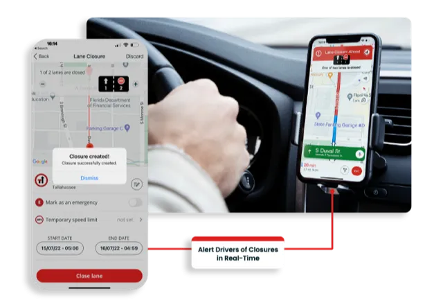
    The project will use Live Link, one.network's proprietary shared road management platform that connects with major GPS providers in the US.
  • Trimble machine control technology onsite
    June 3, 2022
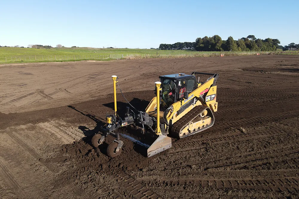
    A construction firm in New Zealand is making good use of machine control technology from Trimble. The technology is helping to reduce costs and boost quality, while also addressing the issue of operator skills.
  • Mapping effectively with vehicle-based imaging
    July 23, 2012
    Yotta is offering an innovative vehicle-based imaging service that will provide accurate high-resolution panoramic street-level views of highway features. The vehicle is equipped with a 60 megapixel panoramic camera developed by Yotta and uses Applanix satellite positioning technology to log the exact location of each image. The vehicle cam improves street-level mapping operations with accurate 3D images of buildings and other highway features, such as signs, trees, barriers and fences. Called Y360, the veh