More accurate mapping

By MJ Woof July 31, 2024 Read time: 1 min
Trimble and Radiodetection have established a collaboration to develop better digital maps of underground utilities

Trimble and Radiodetection have established a collaboration to improve the technology used in the utility measurement and mapping process. Through the integration of the Trimble Catalyst DA2 GNSS system and Radiodetection’s RD MapTM+ application and precision locator products, the software and hardware integration streamlines utility-locating workflows. This can provide high-accuracy measurement capabilities for the generation of underground utilities maps in a single field operation. 

Traditionally, field technicians mark their measurements onsite manually or rely on data entries to provide to office staff for map creation after a site visit. Data collected with the Trimble Catalyst DA2 GNSS system can now be synced with Radiodetection RD Map+ and precision locators that find and mark buried utilities. By streamlining this connection, workers can digitise utility-line locations and reduce costly reporting errors.  

This integration advances utility measurement workflows by giving personnel the capability to accurately represent the utility asset in a digital format. This streamlines the operation, maintenance and construction process whenever utilities are involved. 

For more information on companies in this article

Related Content

  • Leica Geosystems develops machine control
    November 29, 2012
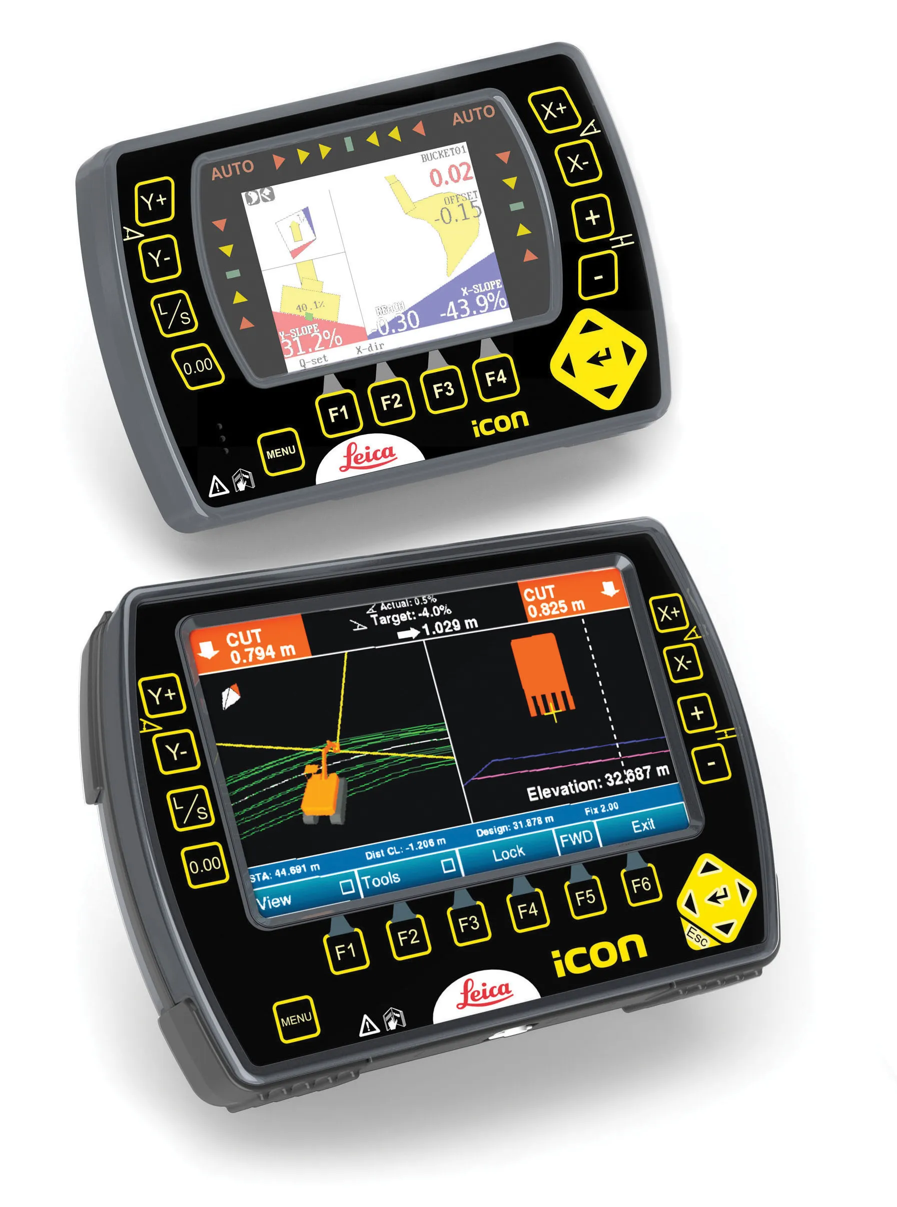
    An array of sophisticated machine control and surveying tools are coming to market from Leica Geosystems. One of the key developments is an addition to its iCON range in the form of its iCONtrol package. The firm says that this offers contractors a portfolio of powerful machine control solutions that can communicate with iCONstruct sensors on site and the iCON office software. This customisable and versatile solution suits use in grading and excavating segment and can be used as a control system for constru
  • ARRB Systems' network-level continuous friction testing
    November 20, 2024
    Pavement safety assessments have traditionally focused on discrete low-density friction assessments using proven technology. But more detailed investigations and analysis are now feasible through improved technologies, explains Simon Tetley of ARRB Systems*.
  • Trimble’s new generation collision avoidance system lifts crane sector with Manitowoc Falcon
    January 6, 2017
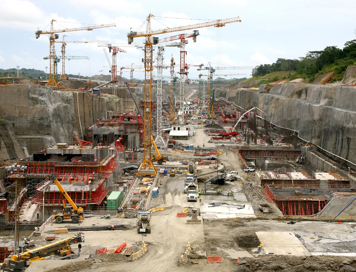
    Trimble has put its new generation crane collision-avoidance system on show at Conexpo 2014, developed in conjunction with Manitowoc Cranes. The Manitowoc Falcon system combines precision GNSS with collision-avoidance technology to provide real time, centimetre-accurate positioning for multiple cranes working on a construction site. The solution, which can be seen on Stand N11766 at Conexpo 2014, has been designed to enhance crane operator awareness and improve safety and productivity in the construction
  • Trimble’s new generation collision avoidance system lifts crane sector with Manitowoc Falcon
    March 3, 2014
    Trimble has put its new generation crane collision-avoidance system on show at Conexpo 2014, developed in conjunction with Manitowoc Cranes. The Manitowoc Falcon system combines precision GNSS with collision-avoidance technology to provide real time, centimetre-accurate positioning for multiple cranes working on a construction site. The solution, which can be seen on Stand N11766 at Conexpo 2014, has been designed to enhance crane operator awareness and improve safety and productivity in the construction