More accurate mapping

By MJ Woof July 31, 2024 Read time: 1 min
Trimble and Radiodetection have established a collaboration to develop better digital maps of underground utilities

Trimble and Radiodetection have established a collaboration to improve the technology used in the utility measurement and mapping process. Through the integration of the Trimble Catalyst DA2 GNSS system and Radiodetection’s RD MapTM+ application and precision locator products, the software and hardware integration streamlines utility-locating workflows. This can provide high-accuracy measurement capabilities for the generation of underground utilities maps in a single field operation. 

Traditionally, field technicians mark their measurements onsite manually or rely on data entries to provide to office staff for map creation after a site visit. Data collected with the Trimble Catalyst DA2 GNSS system can now be synced with Radiodetection RD Map+ and precision locators that find and mark buried utilities. By streamlining this connection, workers can digitise utility-line locations and reduce costly reporting errors.  

This integration advances utility measurement workflows by giving personnel the capability to accurately represent the utility asset in a digital format. This streamlines the operation, maintenance and construction process whenever utilities are involved. 

For more information on companies in this article

Related Content

  • GPS machine control improves construction accuracy
    February 29, 2012
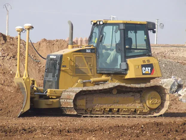
    The latest GPS systems will improve the accuracy of many construction operations. Mike Woof reports. The pace of technological advancement is fast in the GPS market. Despite a market downturn, the GPS solution providers continue to invest in research and development. And there is evidence to suggest that the contracting sector is more keen than ever to employ the latest technology because of the cost benefits this can bring.
  • LiDAR surveying is making inroads into asset management
    December 18, 2017
    In the coming age of the autonomous vehicle, fast and accurate LiDAR surveying will be increasingly important, explains Valdis Vanags. The game-changing introduction of autonomous vehicles relies not only on intelligent traffic systems but well maintained roads to help computer-guided systems navigate using road markings. Laser scanning technology, too, is a game changer when it comes to planning and executing many civil engineering projects, including transport network upgrades and smart city initiatives.
  • Airport expansion for the Maldives assisted by Trimble
    September 6, 2019
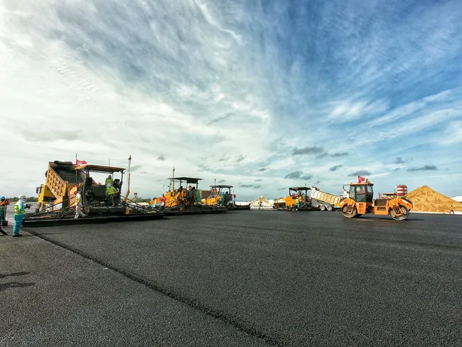
    An airport redevelopment and expansion project in the Maldives has been assisted by the use of technology from Trimble. In 2016 the Chinese firm Beijing Urban Construction Group (BUCG) was awarded the contract for the expansion of the Ibrahim Nasir International Airport on Hulhule island in the Maldives, which is part of the Indian Ocean island group. The massive US$440 million expansion and land reclamation work is intended to boost capacity at the Maldives Airport. BUCG has utilised Trimble field solu
  • Quantm is making Trimble one of the world’s leading BIM market challengers
    December 19, 2016
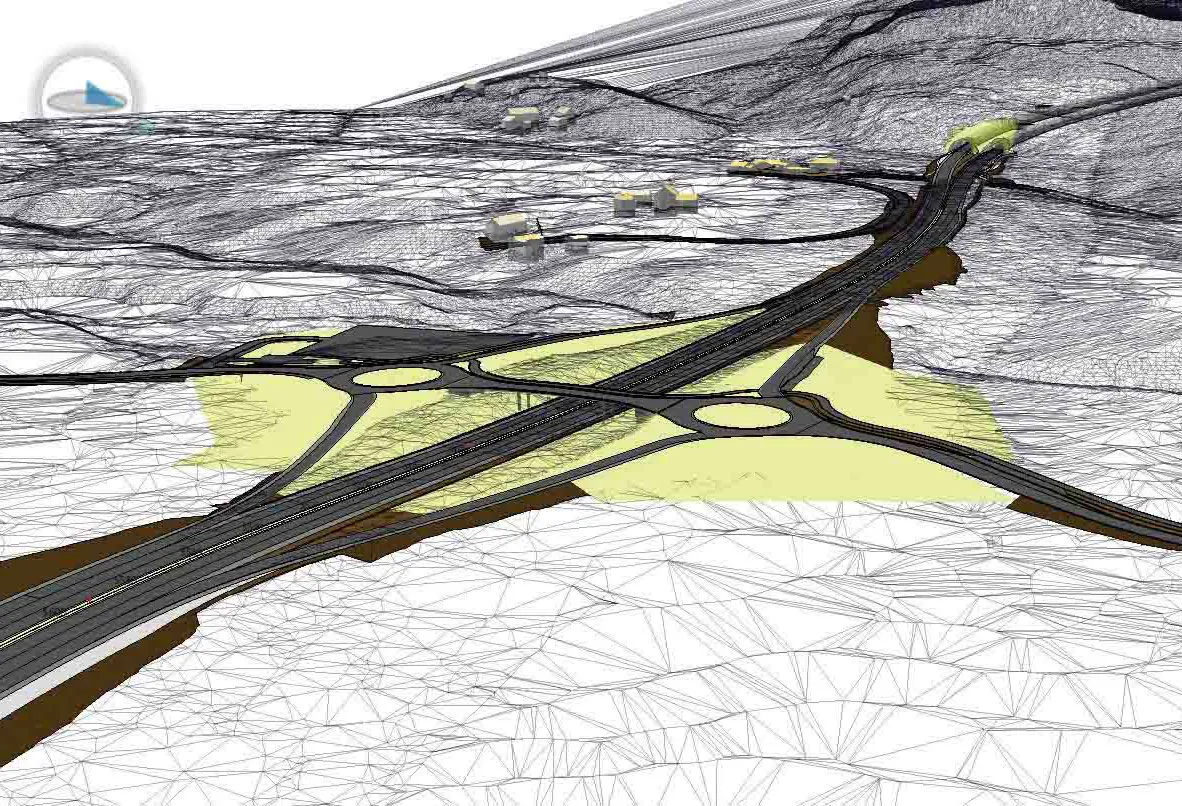
    When Trimble first launched its Quantm software system a decade or so ago, the company was making an important step into end-to-end BIM modelling. The rules of the game were changing fast. Adrian Greeman reports When survey and machine control equipment maker Trimble bought the Australian road planning software system Quantm in 2006 it might not have realised quite what it was leading to. A decade later, Quantm is helping to put Trimble among the big players in the BIM (building information modelling) en