More accurate mapping

By MJ Woof July 31, 2024 Read time: 1 min
Trimble and Radiodetection have established a collaboration to develop better digital maps of underground utilities

Trimble and Radiodetection have established a collaboration to improve the technology used in the utility measurement and mapping process. Through the integration of the Trimble Catalyst DA2 GNSS system and Radiodetection’s RD MapTM+ application and precision locator products, the software and hardware integration streamlines utility-locating workflows. This can provide high-accuracy measurement capabilities for the generation of underground utilities maps in a single field operation. 

Traditionally, field technicians mark their measurements onsite manually or rely on data entries to provide to office staff for map creation after a site visit. Data collected with the Trimble Catalyst DA2 GNSS system can now be synced with Radiodetection RD Map+ and precision locators that find and mark buried utilities. By streamlining this connection, workers can digitise utility-line locations and reduce costly reporting errors.  

This integration advances utility measurement workflows by giving personnel the capability to accurately represent the utility asset in a digital format. This streamlines the operation, maintenance and construction process whenever utilities are involved. 

For more information on companies in this article

Related Content

  • Variable message signs aid parking, traffic control
    February 14, 2012
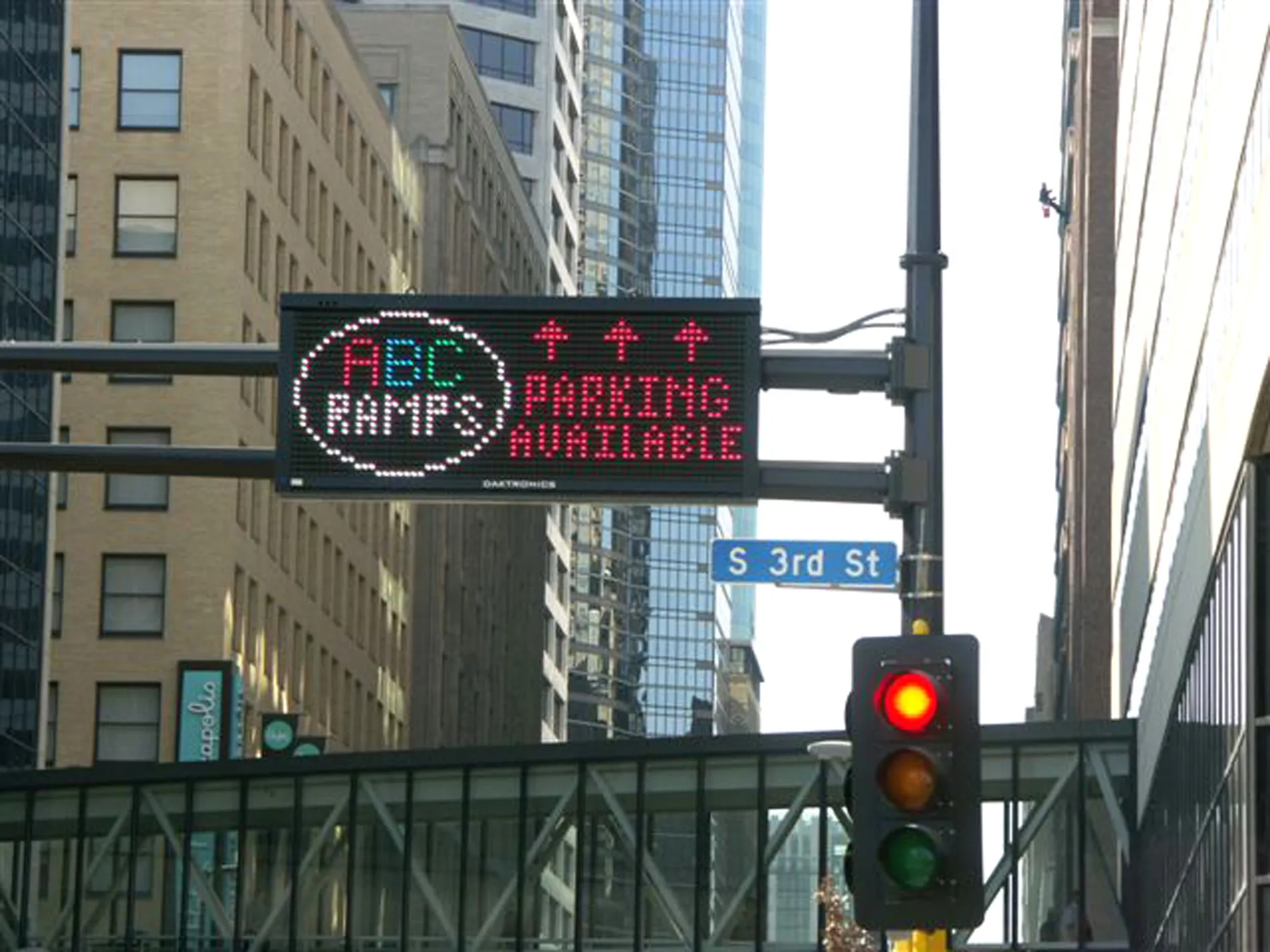
    From the highway to the parking space: message sign technology has proved that it simplifies wayfinding Variable message signs (VMS) are often located at key decision points on busy highways to help manage the network by providing advanced warning to drivers of emergencies and incidents. They are also used to warn drivers of events that may cause delays in the future such as road works and major events. An example comes from the USA where, to stimulate economies and refresh downtown areas, cities are build
  • Road savvy WIM prolongs highways and saves nations vital cash
    May 28, 2013
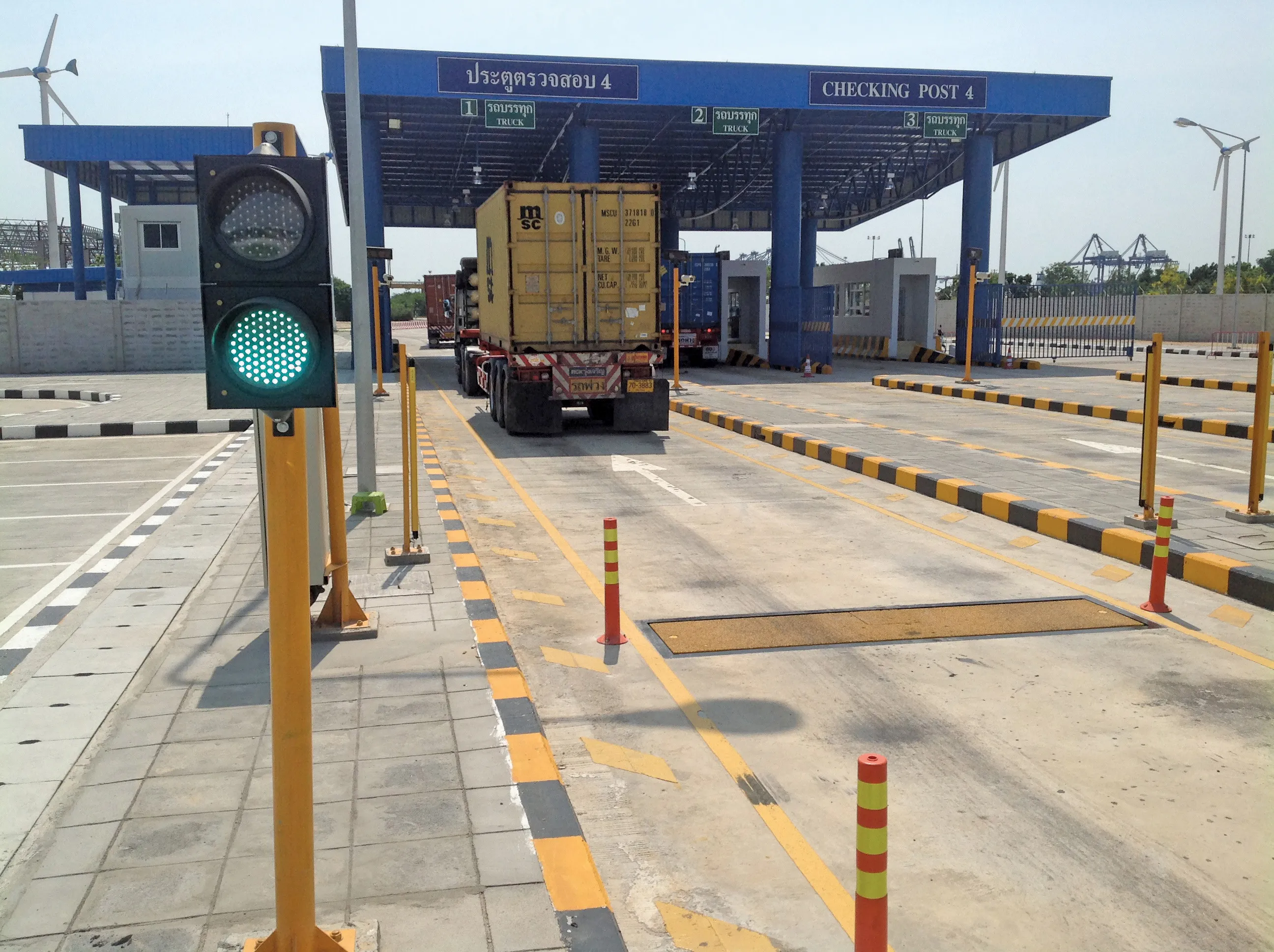
    A leading WIM system manufacturer is playing a key role in efforts to reduce the number of overloaded trucks costing developing economies around the world billions of dollars in accidents and damage to roads, while another company has won a major contract in South America. Guy Woodford reports. The prevalence of overloaded trucks on the road networks of developing countries and the accidents and structural damage they cause wastes valuable, limited resources in some of the world’s poorest economies, diverti
  • Road accident data management
    July 19, 2012
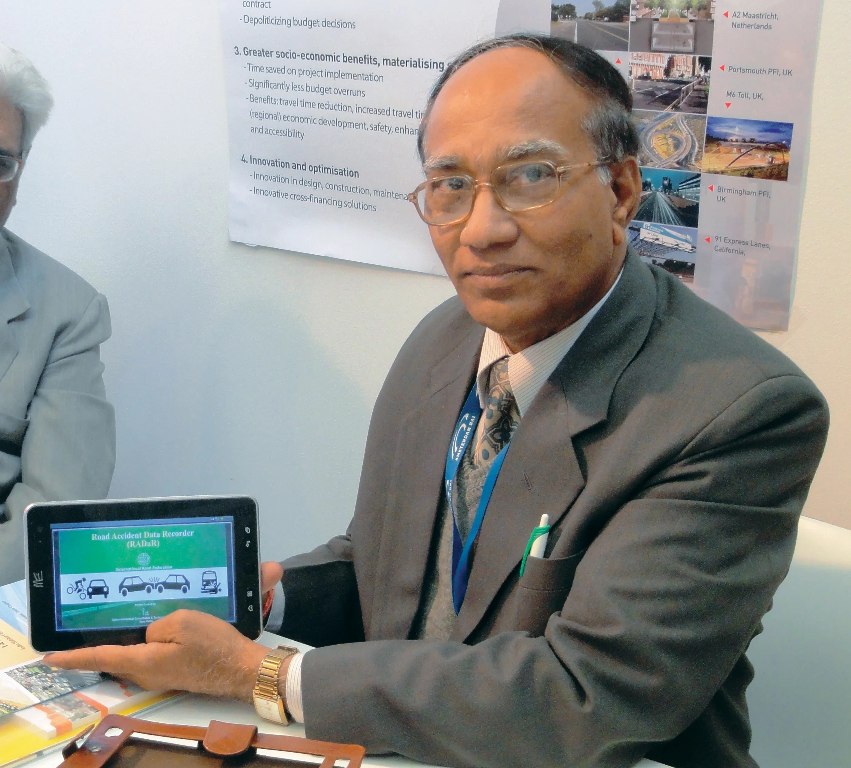
    IRF Geneva unveils a modern solution for road accident data management. This year's Intertraffic Amsterdam exhibition provided a high-profile backdrop for the launch of RADaR, a pioneering new tablet application developed to facilitate the on-site collection of precise and scientific accident data, primarily by traffic police. Introducing the application to an international audience gathered in the venue’s inaugural Smart Mobility Centre, IRF Geneva's director general, Sibylle Rupprecht, highlighted RADaR's
  • Introducing easy to use acoustic leak detection
    February 14, 2012
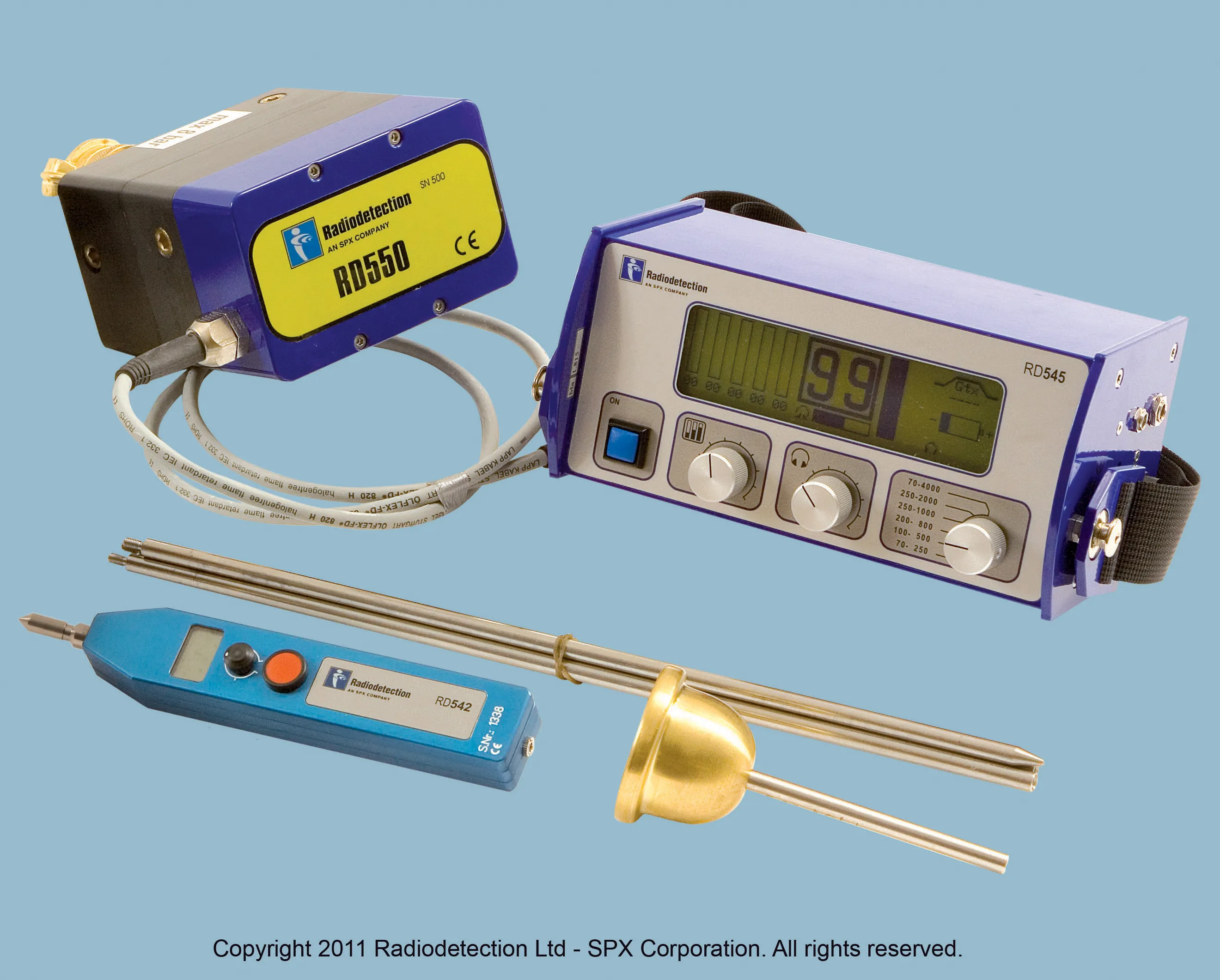
    Pipe and cable detector specialist Radiodetection is widening its product range with the introduction of a new line of leak detectors. The new acoustic leak detectors are said to be easy-to-use, affordable and portable and can be used along with the proven RD7000+ and RD8000 range of cable and pipe locators. The new RD52x family of wireless noise loggers can be used to monitor extensive and complex water networks, without the need for digging up roads. The units combine the latest digital and acoustic techn