More accurate mapping

By MJ Woof July 31, 2024 Read time: 1 min
Trimble and Radiodetection have established a collaboration to develop better digital maps of underground utilities

Trimble and Radiodetection have established a collaboration to improve the technology used in the utility measurement and mapping process. Through the integration of the Trimble Catalyst DA2 GNSS system and Radiodetection’s RD MapTM+ application and precision locator products, the software and hardware integration streamlines utility-locating workflows. This can provide high-accuracy measurement capabilities for the generation of underground utilities maps in a single field operation. 

Traditionally, field technicians mark their measurements onsite manually or rely on data entries to provide to office staff for map creation after a site visit. Data collected with the Trimble Catalyst DA2 GNSS system can now be synced with Radiodetection RD Map+ and precision locators that find and mark buried utilities. By streamlining this connection, workers can digitise utility-line locations and reduce costly reporting errors.  

This integration advances utility measurement workflows by giving personnel the capability to accurately represent the utility asset in a digital format. This streamlines the operation, maintenance and construction process whenever utilities are involved. 

For more information on companies in this article

Related Content

  • Growing WIM demand in Russia and South America
    April 4, 2014
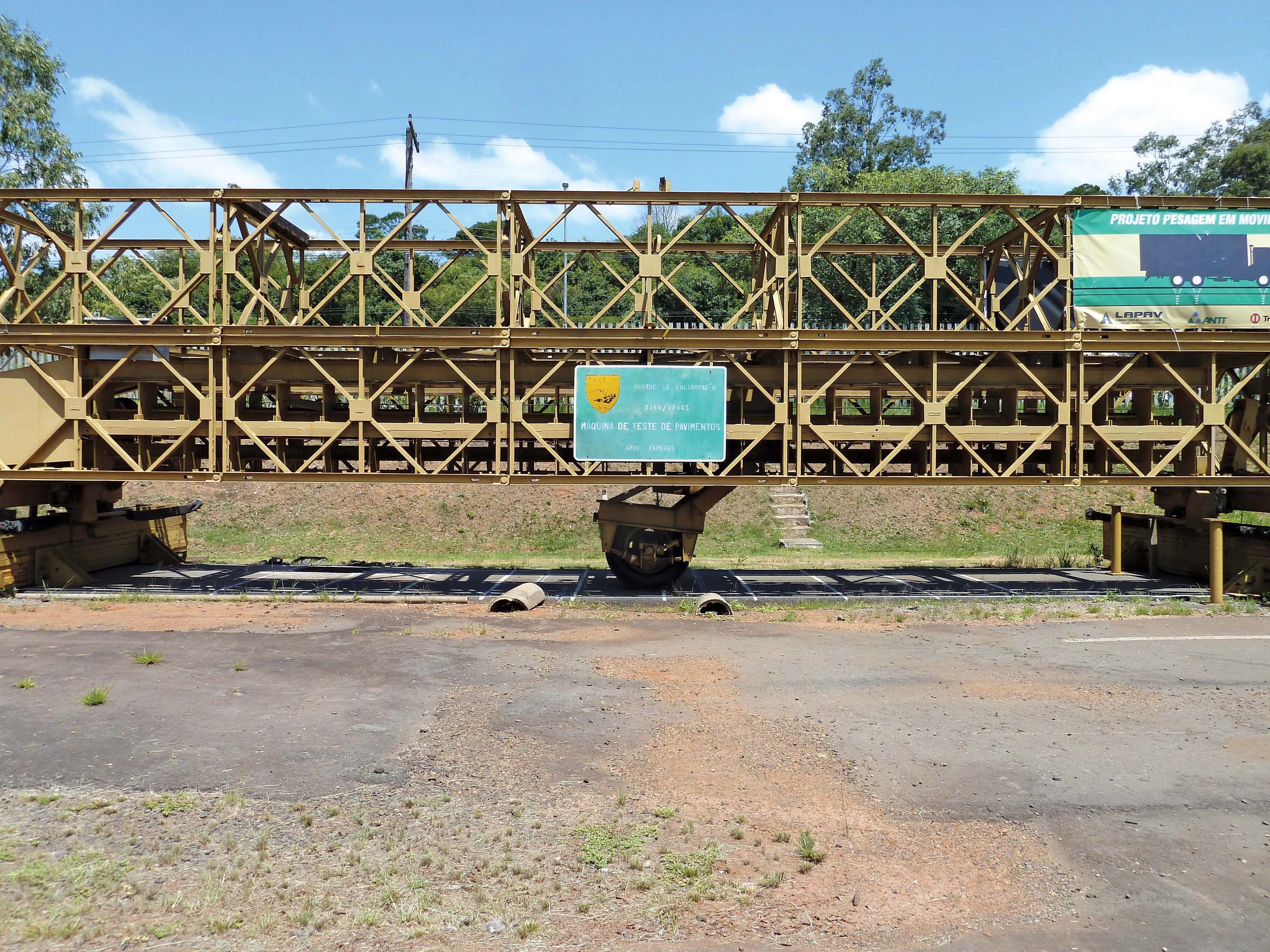
    One Eastern European WIM manufacturer is finding commercial success in Russia, while another leading manufacturer is in demand in South America, as Guy Woodford reports Since Czech WIM technology manufacturer Camea secured type approval for its UnicamWIM system in early 2013, the firm has been installing a number of the systems in different Russian regions. These have included two UnicamWIM stations in Novosibirsk, one in the Kostroma region, and another on the M20 Highway between Belarus and Russia.
  • Precision pinpointing
    March 1, 2012
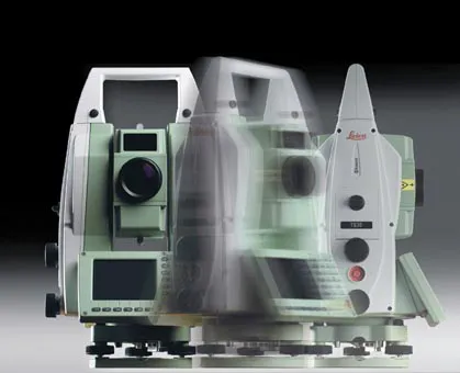
    Leica Geosystems says that its TS30 package is a new high precision Total Station that meets highest standards in all surveying applications. Distances can now be measured with Leica Geosystems' proven PinPoint EDM Technology with an unprecedented precision of 0.6mm + 1ppm on prisms. On natural surfaces a high accuracy of 2mm + 2ppm up to 1,000m can be achieved.
  • A new Marini asphalt plant for Strabag
    April 20, 2023
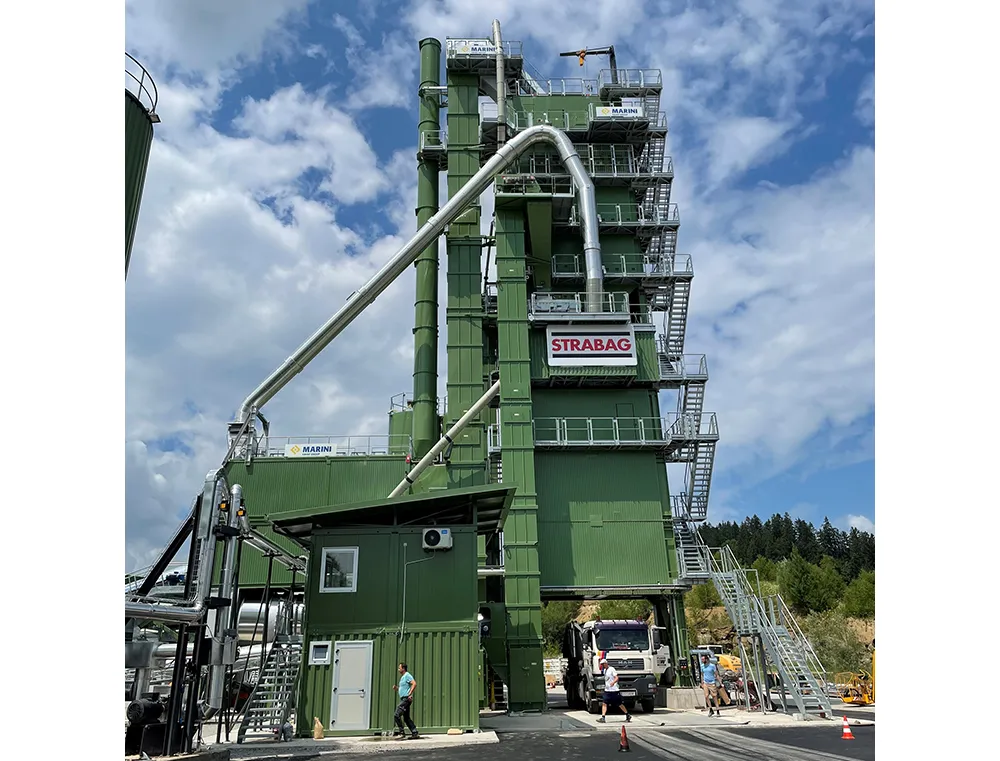
    Austria’s major contractor Strabag recently decided to purchase a new Marini Class Tower asphalt plant
  • Efficient construction leads to quality roads
    November 30, 2012
    Technology to assist the installation of quick laying, yet top-quality, road surfaces requiring less frequent repair, thus limiting costs and the number of construction sites, is being sought by highways authorities the world over. The European Union devised project ASPHALT (Advanced Galileo Navigation System for Asphalt Fleet Machines) for satellite navigation and fleet management may have found just what such authorities are looking for. Within the scope of the ASPHALT research project MOBA, together wit