More accurate mapping

By MJ Woof July 31, 2024 Read time: 1 min
Trimble and Radiodetection have established a collaboration to develop better digital maps of underground utilities

Trimble and Radiodetection have established a collaboration to improve the technology used in the utility measurement and mapping process. Through the integration of the Trimble Catalyst DA2 GNSS system and Radiodetection’s RD MapTM+ application and precision locator products, the software and hardware integration streamlines utility-locating workflows. This can provide high-accuracy measurement capabilities for the generation of underground utilities maps in a single field operation. 

Traditionally, field technicians mark their measurements onsite manually or rely on data entries to provide to office staff for map creation after a site visit. Data collected with the Trimble Catalyst DA2 GNSS system can now be synced with Radiodetection RD Map+ and precision locators that find and mark buried utilities. By streamlining this connection, workers can digitise utility-line locations and reduce costly reporting errors.  

This integration advances utility measurement workflows by giving personnel the capability to accurately represent the utility asset in a digital format. This streamlines the operation, maintenance and construction process whenever utilities are involved. 

For more information on companies in this article

Related Content

  • Sophisticated surveying tool from Topcon
    September 4, 2019
    Topcon Postioning is now offering a sophisticated surveying tool in the shape of an auto-collimating total station for surveying professionals looking for a motorised solution. The firm says that this rugged waterproof total station benefits from the latest TSshield technology for advanced security and maintenance. The system can also be upgraded to Autotracking when the customer is ready to advance further to robotic applications. The GT-503M can be used for Tunnel Guidance and Periodic Monitoring applicat
  • Handheld imaging from Leica Geosystems
    May 21, 2021
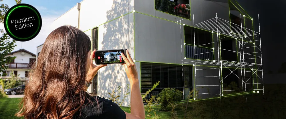
    Leica Geosystems is offering an updated imaging tool in the shape of its latest BLK3D model.
  • Focusing on workzone safety systems
    March 16, 2012
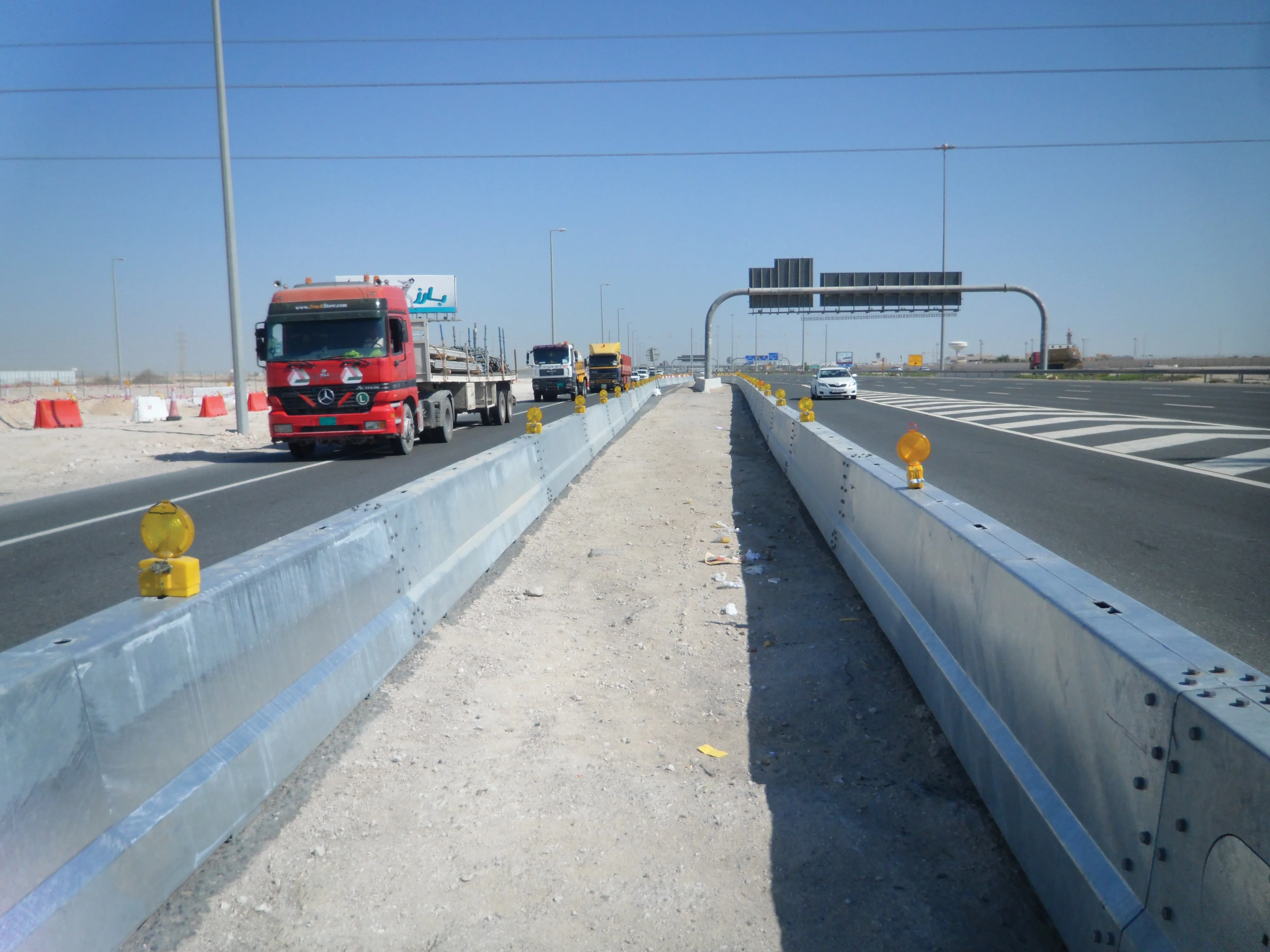
    The US has seen a major reduction in deaths following accidents in its highway construction work zones, while Europe and other parts of the world are looking at new safety technology and systems to trigger a similar trend. Guy Woodford reports. Work in the US to reduce the likelihood of potentially fatal accidents at highway work zones is paying dividend.
  • New radio wave technology assesses asphalt integrity
    March 14, 2017
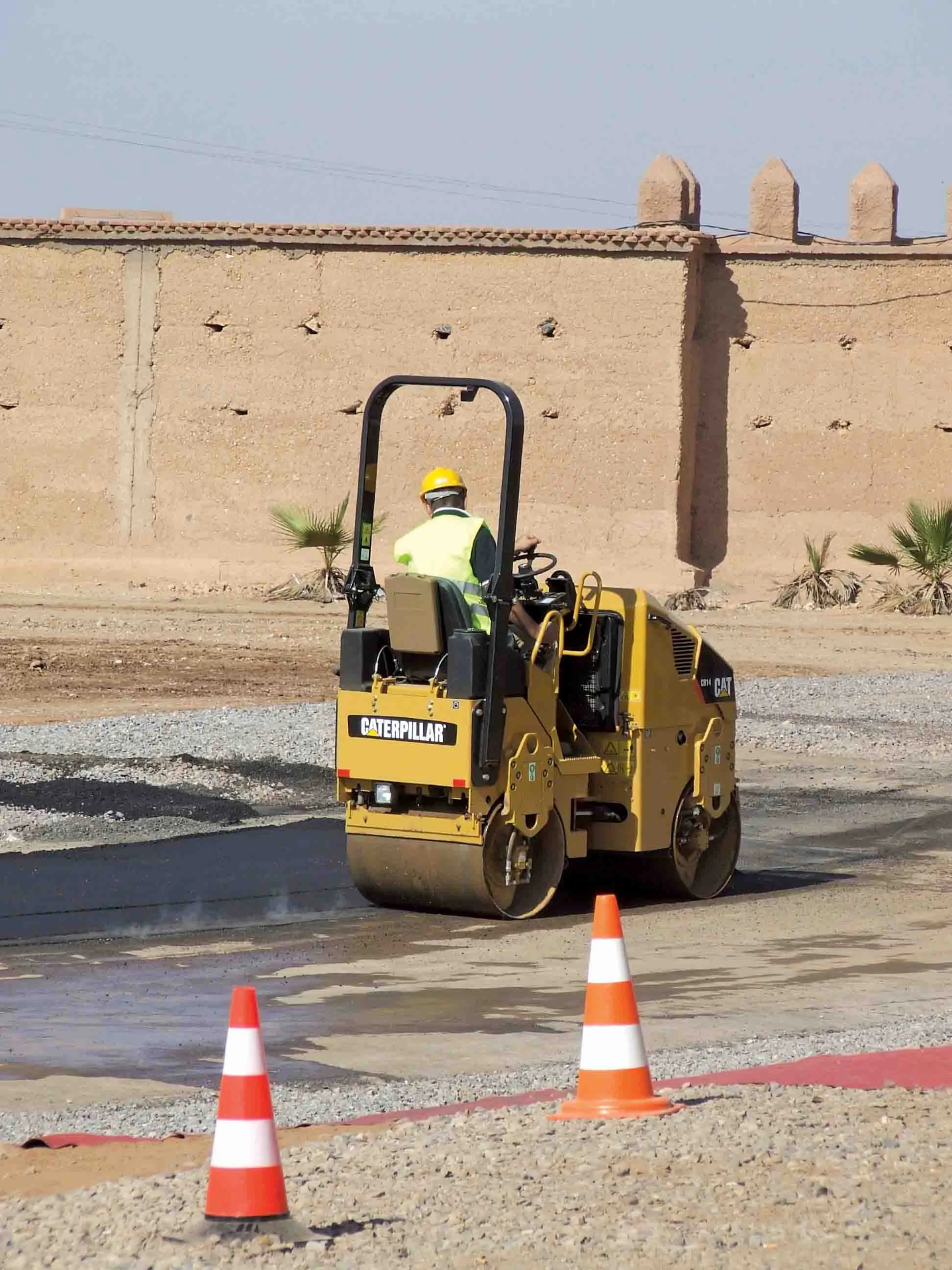
    Real time information on asphalt density and uniformity can boost construction quality - *Roger Roberts, GSSI. Properly compacted asphalt is a major factor in the lifespan of a road, as inadequately compacted asphalt deteriorates at a more rapid rate than properly compacted material. With the billions spent on road construction and repairs each year, it has become a matter of urgency to find new technologies that can ensure the integrity of asphalt on newly paved roads. New radio wave technology is now avai