More accurate mapping

By MJ Woof July 31, 2024 Read time: 1 min
Trimble and Radiodetection have established a collaboration to develop better digital maps of underground utilities

Trimble and Radiodetection have established a collaboration to improve the technology used in the utility measurement and mapping process. Through the integration of the Trimble Catalyst DA2 GNSS system and Radiodetection’s RD MapTM+ application and precision locator products, the software and hardware integration streamlines utility-locating workflows. This can provide high-accuracy measurement capabilities for the generation of underground utilities maps in a single field operation. 

Traditionally, field technicians mark their measurements onsite manually or rely on data entries to provide to office staff for map creation after a site visit. Data collected with the Trimble Catalyst DA2 GNSS system can now be synced with Radiodetection RD Map+ and precision locators that find and mark buried utilities. By streamlining this connection, workers can digitise utility-line locations and reduce costly reporting errors.  

This integration advances utility measurement workflows by giving personnel the capability to accurately represent the utility asset in a digital format. This streamlines the operation, maintenance and construction process whenever utilities are involved. 

For more information on companies in this article

Related Content

  • Doka goes underground in Stockholm
    March 17, 2022
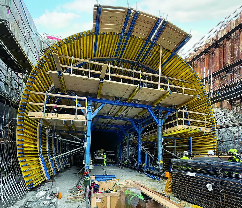
    Stockholm is growing faster than any other European city. But when it comes to traffic, the 1960s-era Essingeleden motorway is still the most important north-south connection and is frequently congested
  • Reflective road markings an aid to road safety
    February 8, 2012
    Horizontal and high-tech in-road markings are all being used in a bid to keep roads safe as Patrick Smith reports. Many modern roads, especially in urban areas, are equipped with the latest technology to guide drivers and, more importantly, improve safety.
  • Smarter transport solutions from TomTom
    January 4, 2016
    TomTom is introducing two novel products that help deliver smart traffic solutions, RoadDNA and its HAD map. The Road DNA will help make automated driving a reality, according to the firm. Designed with vehicle data storage and processing limitations in mind, RoadDNA delivers highly accurate location information that can easily be integrated into the onboard system of a vehicle. This allows a vehicle to continuously know exactly where it is located on the road. It offers highly accurate vehicle localisa
  • Safety measures aid workzone accident reduction
    February 20, 2012
    Everyone connected with the highway industry is involved in the efforts to cut down the number of work zone accidents. Patrick Smith reports. A few months ago, as road work resumed on America's highways and bridges, US Transportation Secretary Ray LaHood called on drivers to use extra caution in work zones. At the same time he commended the success in reducing overall roadway fatalities in each of the last seven years.