More accurate mapping

By MJ Woof July 31, 2024 Read time: 1 min
Trimble and Radiodetection have established a collaboration to develop better digital maps of underground utilities

Trimble and Radiodetection have established a collaboration to improve the technology used in the utility measurement and mapping process. Through the integration of the Trimble Catalyst DA2 GNSS system and Radiodetection’s RD MapTM+ application and precision locator products, the software and hardware integration streamlines utility-locating workflows. This can provide high-accuracy measurement capabilities for the generation of underground utilities maps in a single field operation. 

Traditionally, field technicians mark their measurements onsite manually or rely on data entries to provide to office staff for map creation after a site visit. Data collected with the Trimble Catalyst DA2 GNSS system can now be synced with Radiodetection RD Map+ and precision locators that find and mark buried utilities. By streamlining this connection, workers can digitise utility-line locations and reduce costly reporting errors.  

This integration advances utility measurement workflows by giving personnel the capability to accurately represent the utility asset in a digital format. This streamlines the operation, maintenance and construction process whenever utilities are involved. 

For more information on companies in this article

Related Content

  • Bentley's iTwin Experience, Capture and IoT
    November 24, 2022
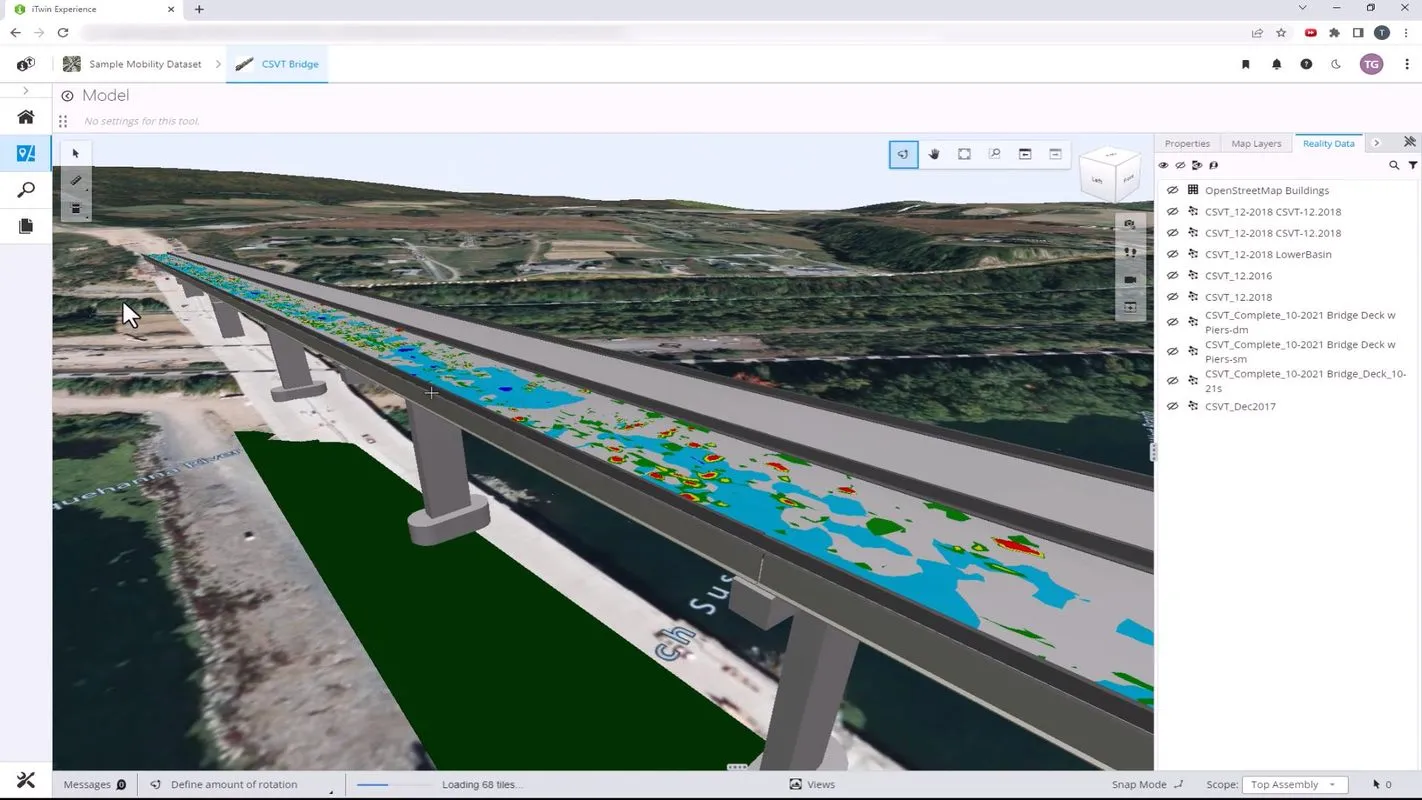
    Bentley Systems has launched iTwin Experience, iTwin Capture and iTwin IoT to improve the performance of its digital twin analysis platform iTwin.
  • Arizona uses 1Spatial for inventory for the FHWA requirements
    February 6, 2017
    The US state of Arizona is using 1Spatial’s technology to send a yearly update of its entire road network to the Federal Highway Administration. As required by law, all state governments must do this and many have created a data set of their road network. But much of this is held at county level. The challenge, now that data has been collected, is how to keep this information up-to-date and accurate. 1Spatial software will automate the data validation process and also the change process. The technology w
  • Highway design software developments
    February 21, 2012
    New advanced software is being released for use by those involved in highway design as Adrian Greeman reports. The growing importance of BIM, building or project information modelling, as a design and construction process, and not just 3D modelling, is the driving force for the latest 2012 versions of Autodesk's comprehensive range of software for civil engineers. This is reflected in a new packaging of its various software tools into suites (along the lines of Microsoft's office suites) tailored to variou
  • Reflections on RetroTek-D
    July 24, 2020
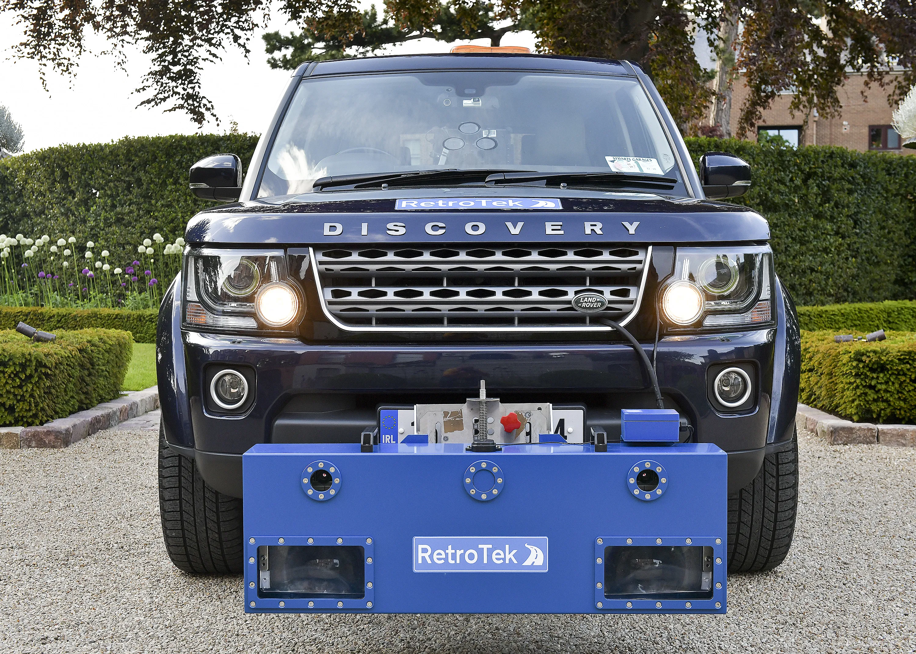
    RetroTek-D is a full-lane width RL assessment vehicle-mounted retroreflectometer.