More accurate mapping

By MJ Woof July 31, 2024 Read time: 1 min
Trimble and Radiodetection have established a collaboration to develop better digital maps of underground utilities

Trimble and Radiodetection have established a collaboration to improve the technology used in the utility measurement and mapping process. Through the integration of the Trimble Catalyst DA2 GNSS system and Radiodetection’s RD MapTM+ application and precision locator products, the software and hardware integration streamlines utility-locating workflows. This can provide high-accuracy measurement capabilities for the generation of underground utilities maps in a single field operation. 

Traditionally, field technicians mark their measurements onsite manually or rely on data entries to provide to office staff for map creation after a site visit. Data collected with the Trimble Catalyst DA2 GNSS system can now be synced with Radiodetection RD Map+ and precision locators that find and mark buried utilities. By streamlining this connection, workers can digitise utility-line locations and reduce costly reporting errors.  

This integration advances utility measurement workflows by giving personnel the capability to accurately represent the utility asset in a digital format. This streamlines the operation, maintenance and construction process whenever utilities are involved. 

For more information on companies in this article

Related Content

  • Life DYNAMAP: real-time mapping of road infrastructure noise
    October 15, 2015
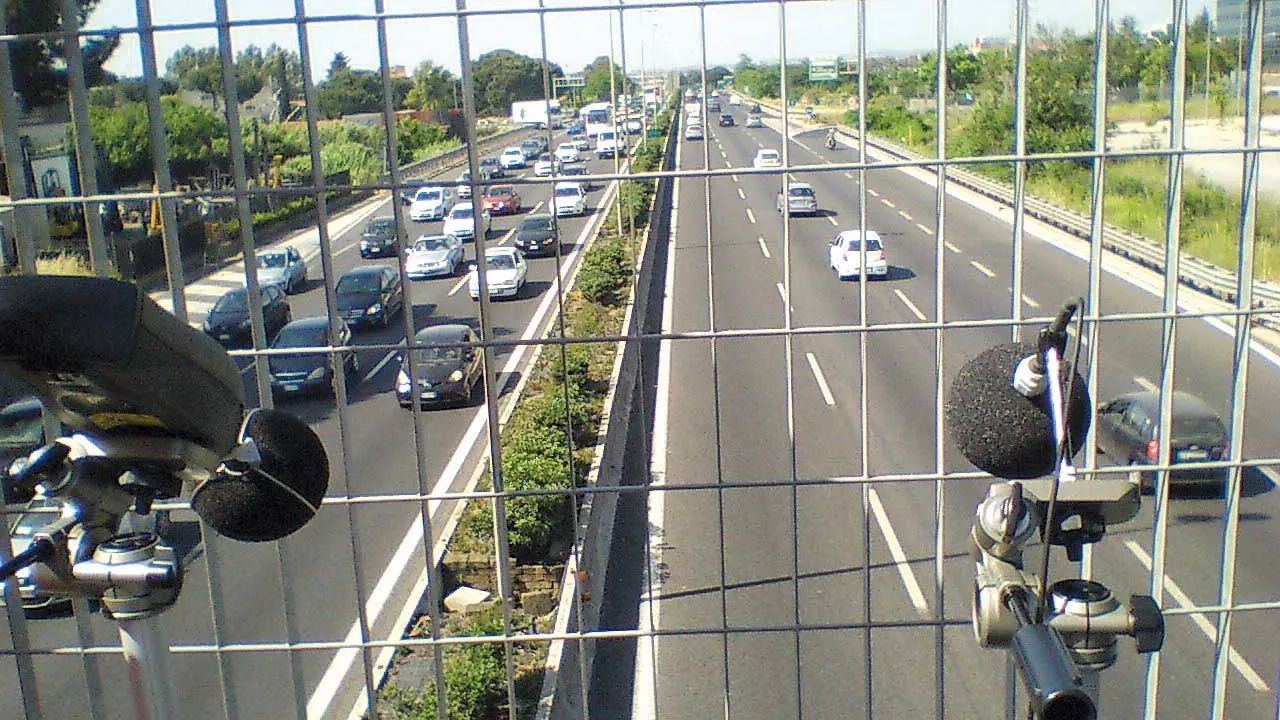
    The world’s best road infrastructure project can also have the world’s worst traffic noise problem. But where to start defeating this noise pollution? Road traffic noise is one of the most obvious aspects affecting the quality of life in urban areas. To combat this, local, national and international authorities have developed initiatives to avoid, prevent or reduce exposure to noise. One of these initiatives – Life DYNAMAP – is underway by a group of researchers in Germany, Spain and Italy. The project is f
  • Yotta upgrades asset management package
    May 19, 2015
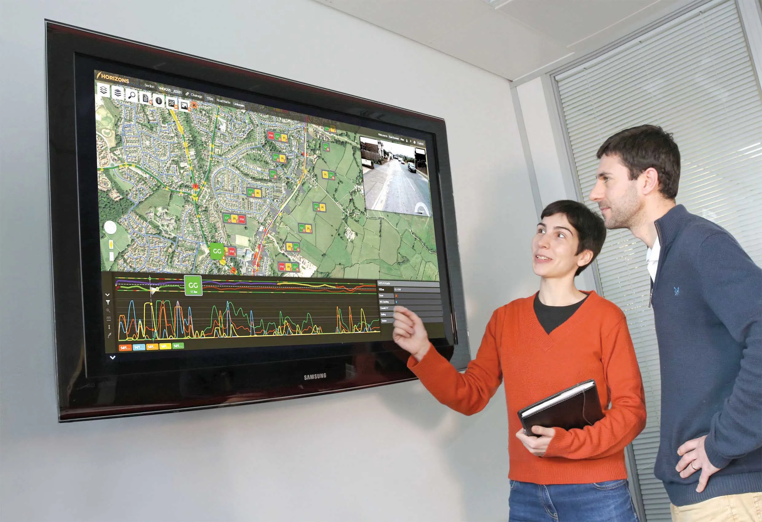
    Yotta is now offering the latest version of its Horizons visualised asset management platform. Version 2.6 of the package is said to provide a better user experience with improved visualisation. The latest version of the cloud-based solution also offers improved transparency with upgraded reporting providing clear and auditable work trails. Users of Horizons 2.6 can now directly link documents and images in Horizons, improving access to detailed information about a specific asset through the use of phot
  • Rigorous testing for high performance materials
    February 9, 2012
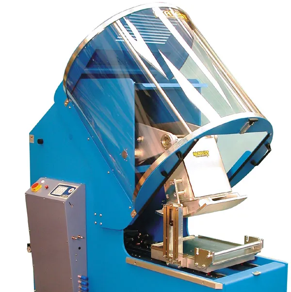
    Today’s highways require high performance materials, and this means rigorous testing as Patrick Smith reports Highways are under greater pressure than ever today and asphalts have to grant high performances in order to withstand traffic and meet the standards. Studying the plastic permanent deformations in hot mix asphalt (HMA) is very important to obtain useful information for mix designers as an appropriate mix design will reduce the formation of unevenness on road surface. To investigate the effect of mi
  • Novel survey solution from Hexagon
    January 6, 2023
    Leica Geosystems, part of Hexagon, says that its Leica iCON gps 160 package is a next-generation construction Smart Antenna with features that increase productivity for stakeout and measurement applications on the jobsite.