
Monitoring software update from Trimble

Trimble is offering an updated version of its real-time monitoring software, the 4D Control package. This Version 5.0 upgrade offers new features that allow users to streamline real-time structural monitoring system deployment as well as simplify the connection to geotechnical sensors. Trimble 4D Control software allows project stakeholders to monitor critical infrastructure such as dams and bridges along with buildings surrounding construction sites and tunnels.
November 15, 2019 Read time: 2 mins
Trimble is offering an updated version of its real-time monitoring software, the 4D Control package.

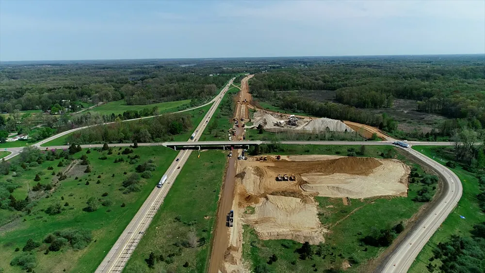
This software is said to deliver accurate movement analysis as well as extensive support for a wide variety of monitoring sensors. These can range from total stations to piezometers and crack gauges to GNSS reference receivers. In addition, multiple monitoring sites can be managed from a single, platform that allows visualisation, performs rigorous analysis and provides alerts, for real-time automated monitoring applications.

According to Trimble Monitoring Solutions, configuring sensor communications previously took hours but now takes just a few minutes. Setting up and operating a real-time monitoring system also said to be easier than before.

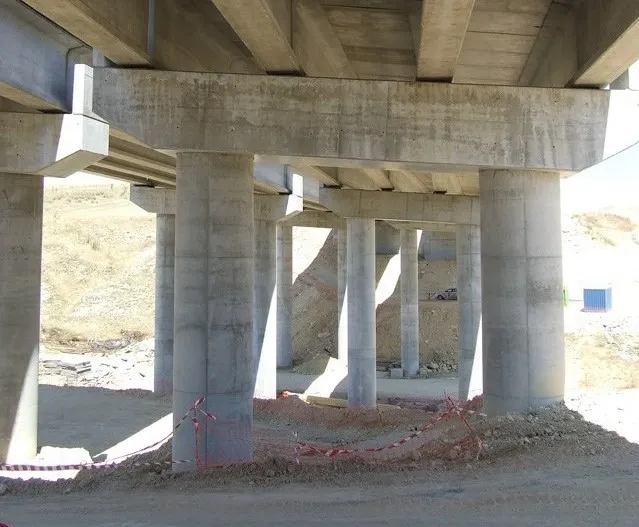
The firm’s 4D Control 5.0 introduces support for Worldsensing’s Loadsensing wireless monitoring system. This allows users to connect and configure geotechnical sensors from a variety of manufacturers with hundreds of sensor models. It simplifies the configuration process, delivering real-time data streaming from the geotechnical sensors to the 4D Control software. In addition, the firm says that the Loadsensing long-range and low-power wireless nodes provide an effective connectivity solution for complex monitoring scenarios.

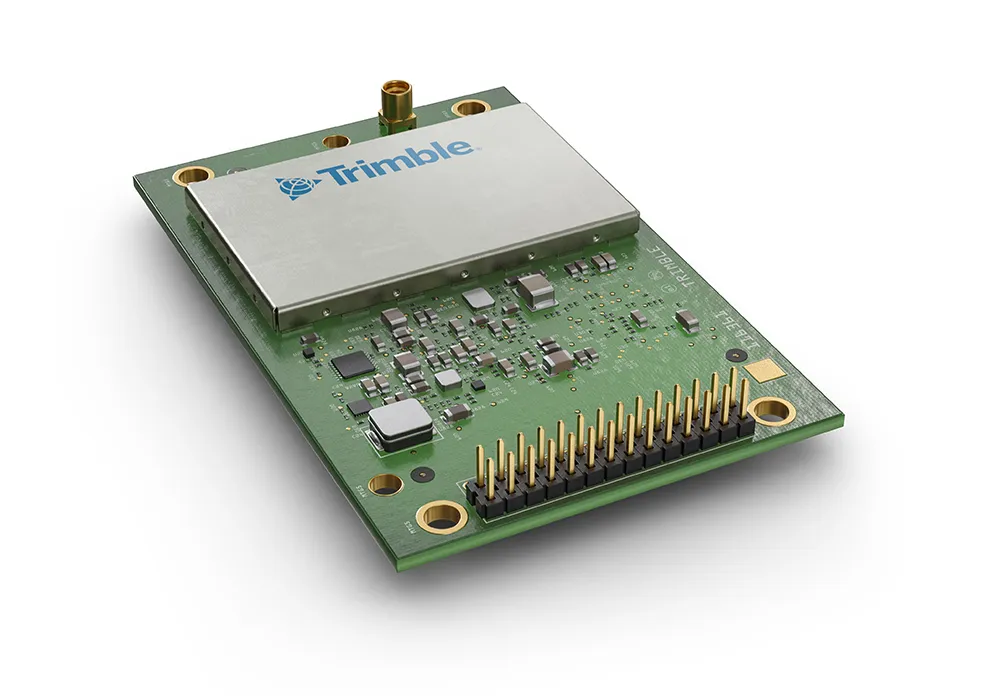
Version 5.0 also includes an updated seismogeodetic data processing module that simplifies the setup when using Trimble’s Kestrel seismogeodetic system. With this new version, the T4D Control is said to make it easy to use the satellite-based RTX corrections capabilities of the Kestrel system. Structural engineers are said to benefit from detailed information where high-quality, real-time seismic data is critical.

For more information on companies in this article

Related Content

  • Airport expansion for the Maldives assisted by Trimble
    September 6, 2019
    An airport redevelopment and expansion project in the Maldives has been assisted by the use of technology from Trimble. In 2016 the Chinese firm Beijing Urban Construction Group (BUCG) was awarded the contract for the expansion of the Ibrahim Nasir International Airport on Hulhule island in the Maldives, which is part of the Indian Ocean island group. The massive US$440 million expansion and land reclamation work is intended to boost capacity at the Maldives Airport. BUCG has utilised Trimble field solu
  • Sophisticated asphalt paving control technology
    July 27, 2020
    Advances in asphalt paving control systems are helping contractors deliver higher efficiency
  • Connectivity is key for contractors
    November 8, 2022
    Michigan Department of Transportation (MDOT) has planned its US$210 million I-69 Rebuild Project in Eaton and Calhoun Counties, work that will improve journeys for drivers in the area
  • High-accuracy receiver
    September 29, 2022
    Trimble is introducing its advanced BD9250, a dual-frequency OEM GNSS receiver module that supports Trimble RTX correction services. The receiver is designed to deliver high-accuracy positioning for a range of high-volume, autonomous-ready applications used in the construction sector.