Monitoring field activities accurately

Boschung says that its bMoves tool is a novel digital solution for managing field services.
March 14, 2022 Read time: 1 min
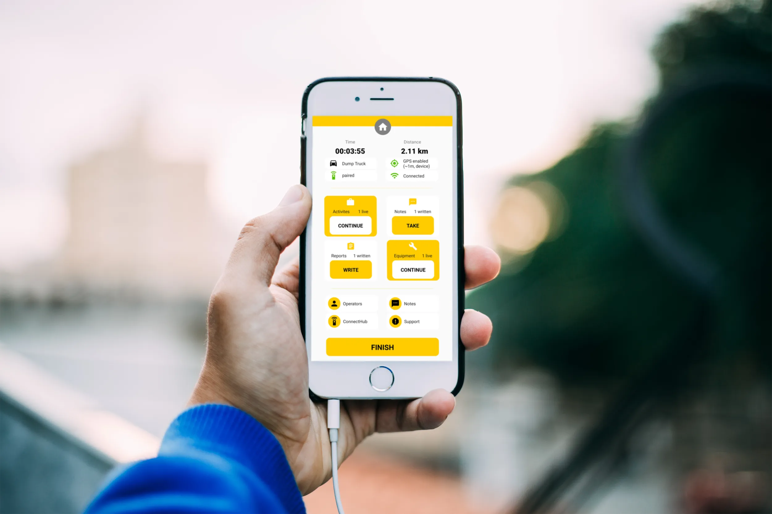
Using the bMoves app, interventions from each operator are displayed in real time on a phone, tablet or computer

With its intuitive design, bMoves allows maintenance departments of roads, airports and municipalities to improve field activity monitoring. Boschung says its innovative solution can support organisations in analytical and decision-making work.

Designed to ease the workload for maintenance departments, bMoves features tools to improve field services, onsite reporting and fleet management.

With the bMoves app, everything an operator does in the field is accurately recorded and located. The bMoves app for Android and iOS, features an easy-to use interface for efficient and reliable data acquisition. It can connect wirelessly to any vehicle and retrieve data, such as route or equipment usage.

Related Content

  • More accurate mapping
    July 31, 2024

    Trimble and Radiodetection have established a collaboration to improve the technology used in the utility measurement and mapping process. Through the integration of the Trimble Catalyst DA2 GNSS system and Radiodetection’s RD MapTM+ application and precision locator products, the software and hardware integration streamlines utility-locating workflows. This can provide high-accuracy measurement capabilities for the generation of underground utilities maps in a single field operation. 

  • Bitumen technology: counting carbon emissions from road works
    March 13, 2024
    This month we look at accurate carbon counting, a biobinder that does not come at a premium and efforts to increase recycled content - Kristina Smith reports
  • Laser scanning focuses on asset management
    January 9, 2015
    Laser scanners and improved data collection and analysis software are making light of asset management surveying. David Arminas reports The age of the laser scanner is upon us, taking over from traditional manual methods of surveying, data collection and processing. These new technical developments are making it much easier to process and use the data captured and are providing highways engineers with powerful tools to record, map and visualise their assets. This is good news for highways authorities
  • FieldOffice launches mobile biometric clock-in for mobile phones
    March 6, 2017
    FieldOffice Software has developed a biometric time and attendance app which only requires a mobile device, the first in the world to do so, according to the company.