Monitoring field activities accurately

Boschung says that its bMoves tool is a novel digital solution for managing field services.
March 14, 2022 Read time: 1 min
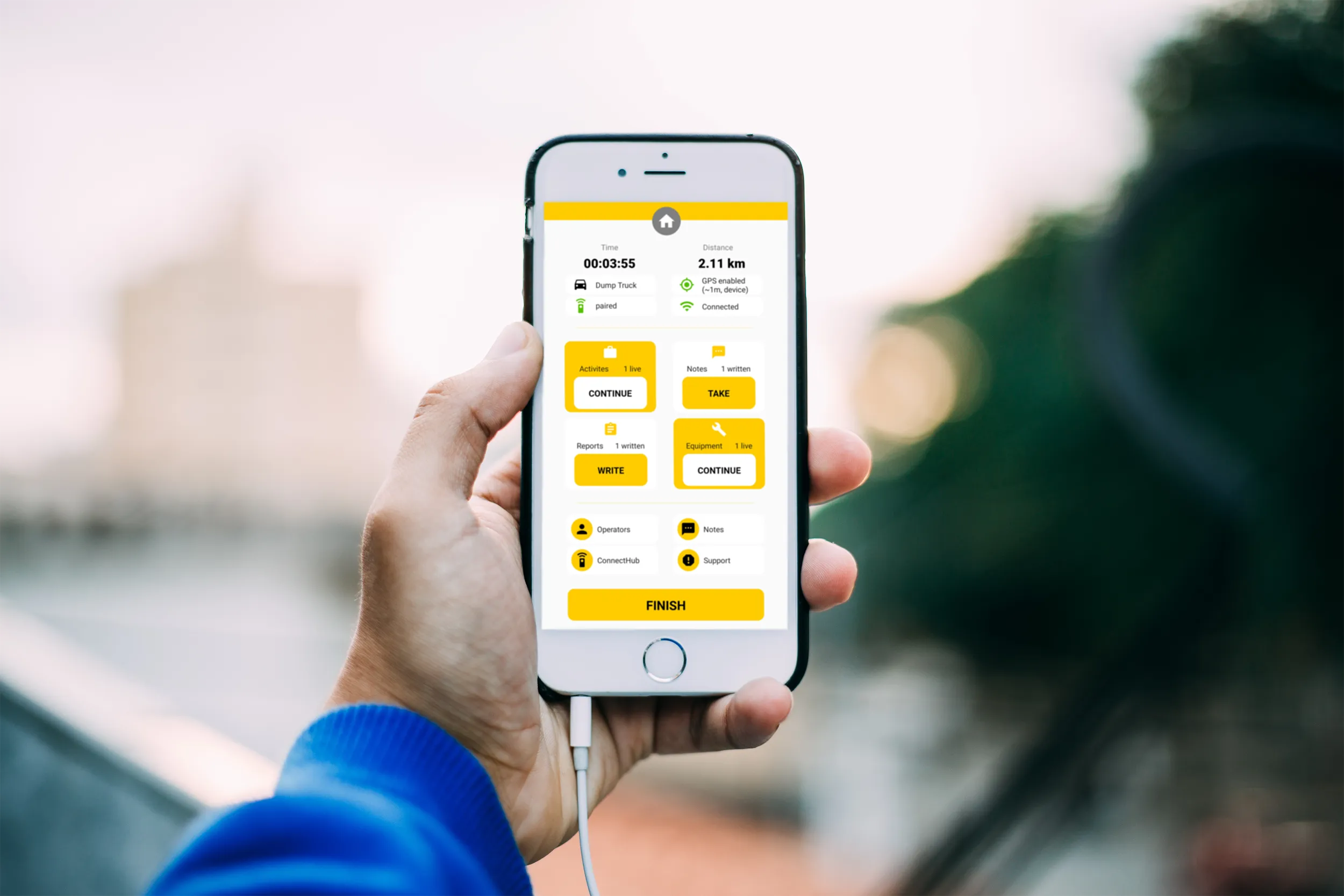
Using the bMoves app, interventions from each operator are displayed in real time on a phone, tablet or computer

With its intuitive design, bMoves allows maintenance departments of roads, airports and municipalities to improve field activity monitoring. Boschung says its innovative solution can support organisations in analytical and decision-making work.

Designed to ease the workload for maintenance departments, bMoves features tools to improve field services, onsite reporting and fleet management.

With the bMoves app, everything an operator does in the field is accurately recorded and located. The bMoves app for Android and iOS, features an easy-to use interface for efficient and reliable data acquisition. It can connect wirelessly to any vehicle and retrieve data, such as route or equipment usage.

Related Content

  • Trimble launches inspection software trio
    December 18, 2014
    An increasingly important market for engineering software providers is that of inspection solutions for civil contractors to ensure their heavy equipment is up to the job all the time. Trimble recently launched three asset inspection software solutions that allow equipment managers to easily inspect equipment in real-time using their smartphone or tablet - Trimble Inspector, Trimble Inspector Pro and Trimble Asset Manager. “The goal is to take the guesswork out of asset maintenance and put the equipment
  • John Deere Operations Center™ Construction
    March 5, 2024
    The digital platform for solutions for optimising processes, machinery and services
  • Trimble’s new tools can boost drilling, piling and bucket weighing accuracy
    November 29, 2013
    Trimble is broadening its range of products with the introduction of its new DPS900 Drilling and Piling System and Business Center and the LOADRITE X2350 Payload Management System for excavators. According to the firm, the DPS900 Drilling and Piling system allows contractors to drill precisely at a specified location, to preset levels for depth, orientation and inclination angle. The HCE Drilling and Piling module is said to offer contractors tools to create optimised drilling and piling plans that can help
  • Accurate deformation monitoring from Leica Geosystems
    March 7, 2017
    Leica Geosystems is now offering a sophisticated tool that allows engineers to measure deformation accurately. The Leica GeoMoS Now! Survey Edition is a service for monitoring and managing 3D deformation of points of potentially unstable areas for surveying projects. It has a streamlined workflow and can deliver monitoring reports of man-made structures or natural dangers to smart devices. Surveyors can use this to upload coordinates, process and visualise deformations, allowing other users to access result