Monitoring field activities accurately

Boschung says that its bMoves tool is a novel digital solution for managing field services.
March 14, 2022 Read time: 1 min
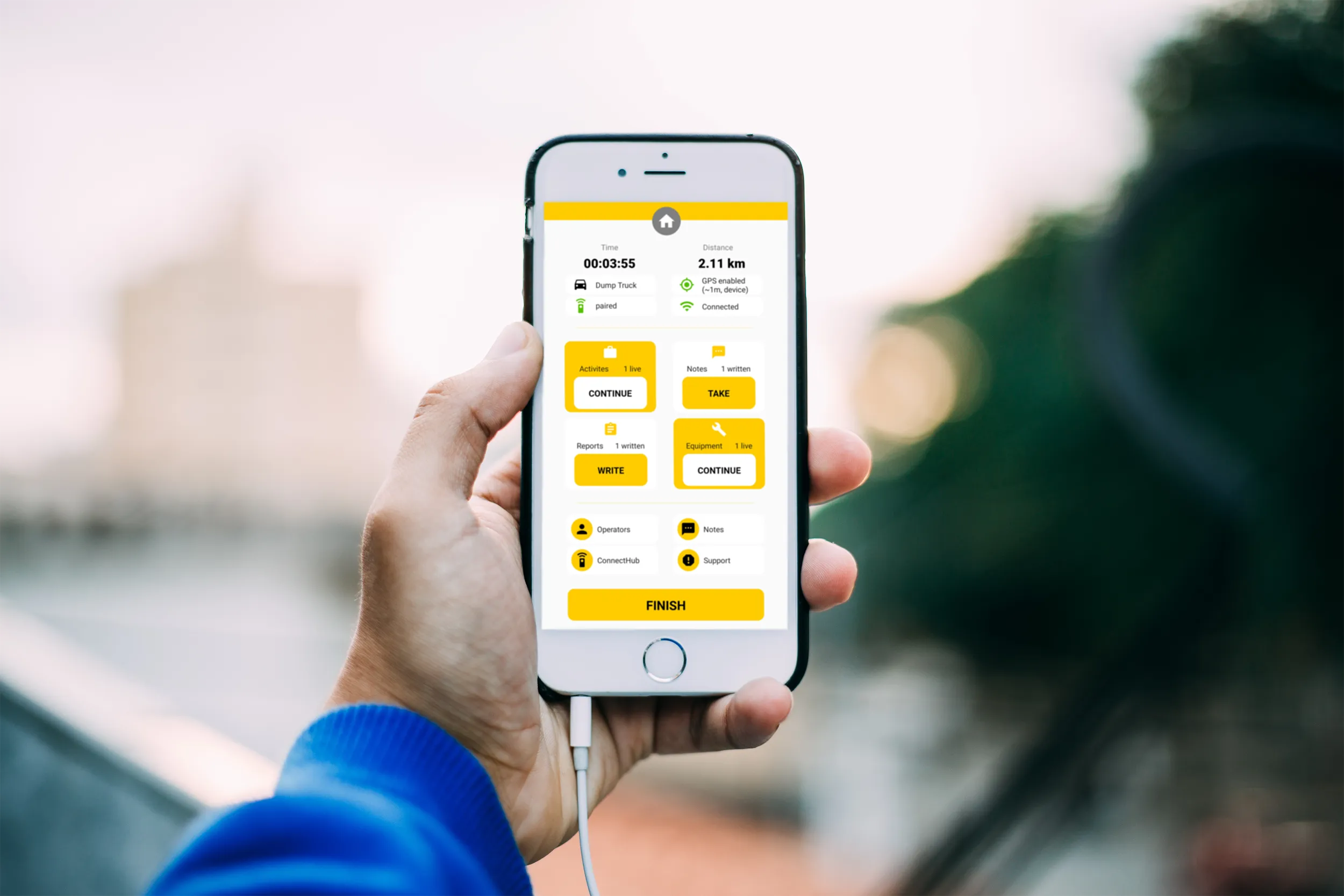
Using the bMoves app, interventions from each operator are displayed in real time on a phone, tablet or computer

With its intuitive design, bMoves allows maintenance departments of roads, airports and municipalities to improve field activity monitoring. Boschung says its innovative solution can support organisations in analytical and decision-making work.

Designed to ease the workload for maintenance departments, bMoves features tools to improve field services, onsite reporting and fleet management.

With the bMoves app, everything an operator does in the field is accurately recorded and located. The bMoves app for Android and iOS, features an easy-to use interface for efficient and reliable data acquisition. It can connect wirelessly to any vehicle and retrieve data, such as route or equipment usage.

Related Content

  • Perkins My Engine app creates electronic service history
    March 10, 2017
    Perkins announced the development of an engine app for IOS and Android-based smart phones at CONEXPO-CON/AGG. Called the Perkins My Engine app, it allows end-users to register their Perkins engine by serial number, to gain access to a service items, build data, service manual and parts manual.
  • Bridge monitoring technology
    July 1, 2019
    A new partnership between SGS and AIMSight is allowing fully remote continuous structural health monitoring (SHM) of bridges. This utilises using smart crack monitoring sensors and data analytics and is compliant with existing NDT standards. The new SGS AIMSight structural health monitoring solution provides continuous, real time monitoring of the health of critical assets to a higher level of precision than conventional SHM systems and structural inspection schemes. This serves as an early warning system
  • Accurate scanning
    February 6, 2012
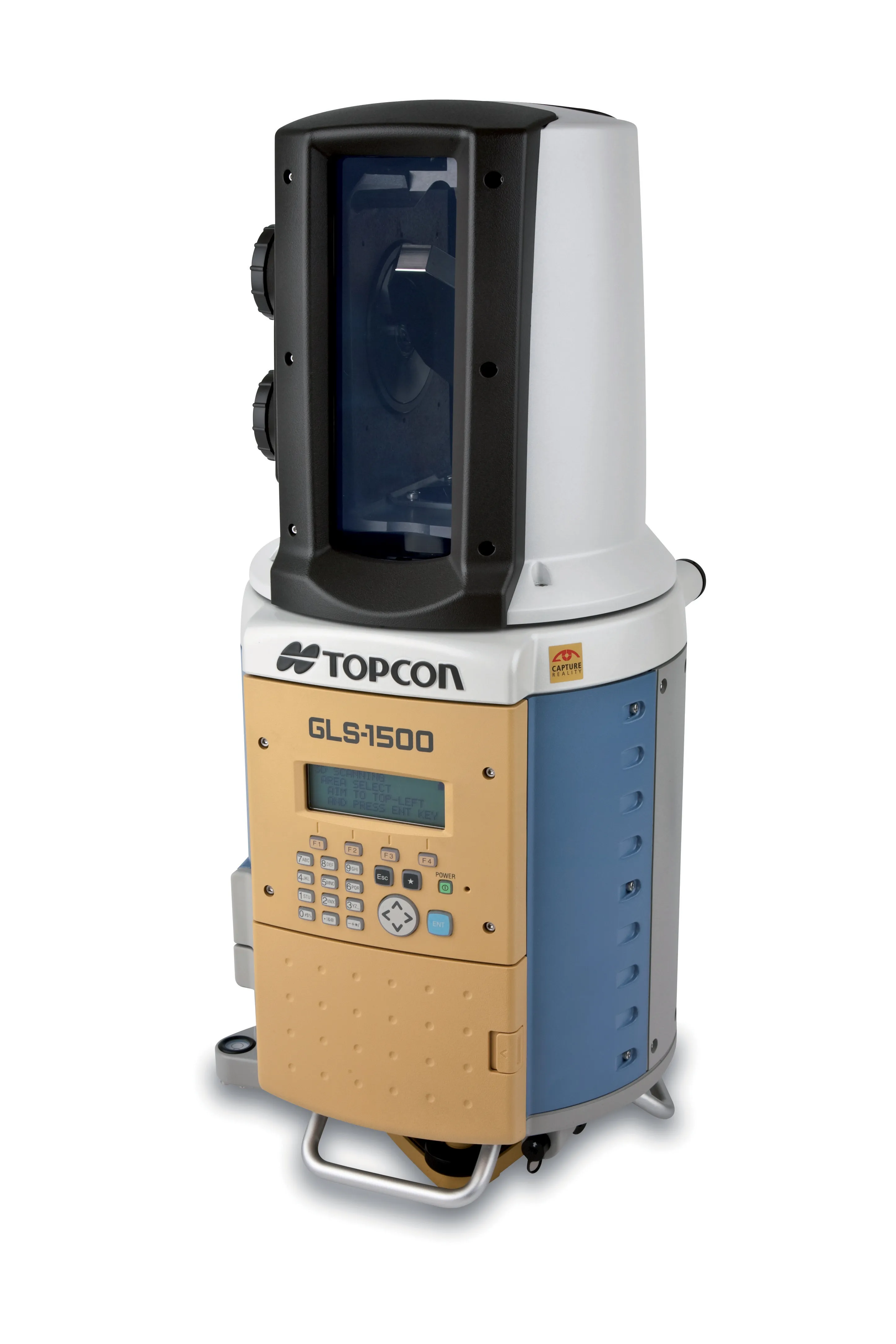
    TOPCON CLAIMS that its GLS- 1500 laser scanner speeds point cloud collection. This unit is 10 times faster than previous units and collects up to 30,000 points/second, reducing the amount of equipment needed in the field. The GLS-1500 offers a range of up to 330m and is designed for quick setup to save time and improve productivity.
  • ESRI's highway data solution
    March 20, 2012
    ESRI is developing a comprehensive highway data maintenance and linear referencing solution scheduled for release in the fourth quarter of 2010. Aimed at highway departments, state departments of transportation, and national roadway administrations, the company says it will provide an integrated set of tools and functionality that allows agencies to easily maintain highway geometry, their associated multiple linear referencing systems, and complex roadway features