Monitoring field activities accurately

Boschung says that its bMoves tool is a novel digital solution for managing field services.
March 14, 2022 Read time: 1 min
Using the bMoves app, interventions from each operator are displayed in real time on a phone, tablet or computer

With its intuitive design, bMoves allows maintenance departments of roads, airports and municipalities to improve field activity monitoring. Boschung says its innovative solution can support organisations in analytical and decision-making work.

Designed to ease the workload for maintenance departments, bMoves features tools to improve field services, onsite reporting and fleet management.

With the bMoves app, everything an operator does in the field is accurately recorded and located. The bMoves app for Android and iOS, features an easy-to use interface for efficient and reliable data acquisition. It can connect wirelessly to any vehicle and retrieve data, such as route or equipment usage.

Related Content

  • Efficient, accurate asphalt compaction technology
    February 14, 2012
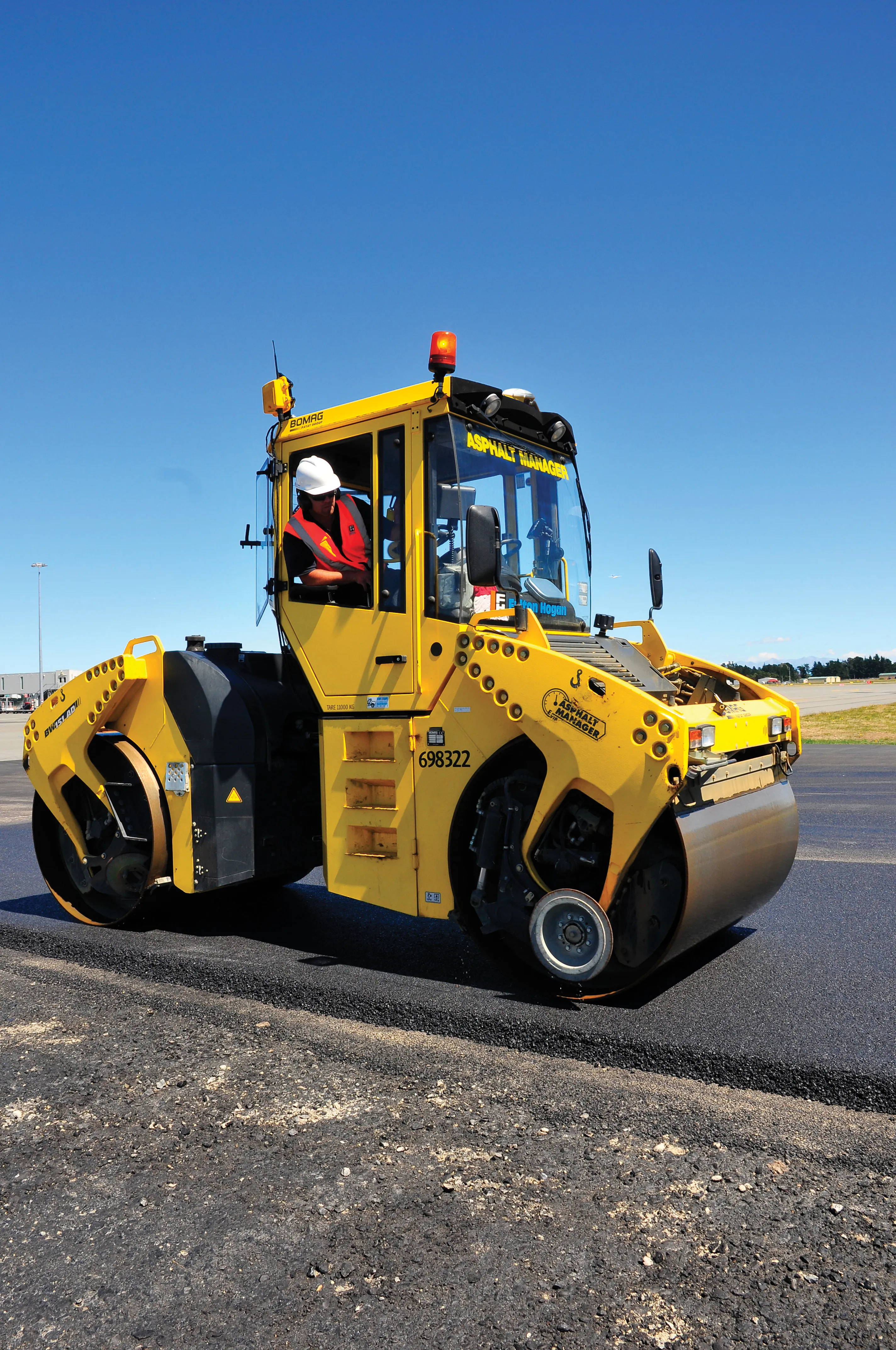
    The efficiency of asphalt compaction performance has improved immeasurably in recent years with the development of more effective equipment. Manufacturers have honed the designs of the machines, making them easier and more comfortable to operate, improving visibility and also tackling issues such as maintenance downtime by making the equipment more reliable and quicker to service. However one of the biggest advances in compaction performance has come not from the machines, but from the control and measur
  • Opsys launches ALTOS at Curiosity Lab
    November 18, 2024
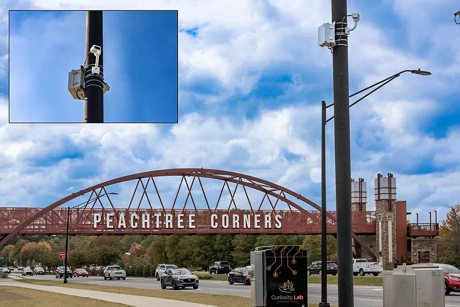
    Opsys said that, as a pure solid-state LiDAR, the ALTOS Gen 2 has no moving parts and will be deployed at Curiosity Lab in the US city of Peachtree Corners to provide real-time data on traffic flow and pedestrian movements.
  • Precision narrows the gap between design software and GIS
    March 20, 2012
    Greater precision is helping blur the boundaries between GIS technology and design software While GIS map based technology has extended its range across an ever more universal spectrum of uses in the highways sector, it is increasingly showing weaknesses for engineering purposes. It is very often not accurate enough. This has not mattered previously because the GIS tool has been seen essentially as an automated version of paper based systems from the design department's point of view. Where engineers
  • Advanced road drainage system
    February 13, 2012
    An advanced approach to maintenance is helping ensure that the UK county of Kent keeps on top of road drainage. Kent Highway Services (KHS) has a network of some 8,400km of roads and drains, which requires a fleet of vehicles to maintain and support. In order to keep traffic moving and avoid flooding hazards for motorists, road drainage systems have to be consistently monitored and maintained. Previously this was carried out on a reactive basis, but this has proved to be neither cost effective nor efficient