Monitoring field activities accurately

Boschung says that its bMoves tool is a novel digital solution for managing field services.
March 14, 2022 Read time: 1 min
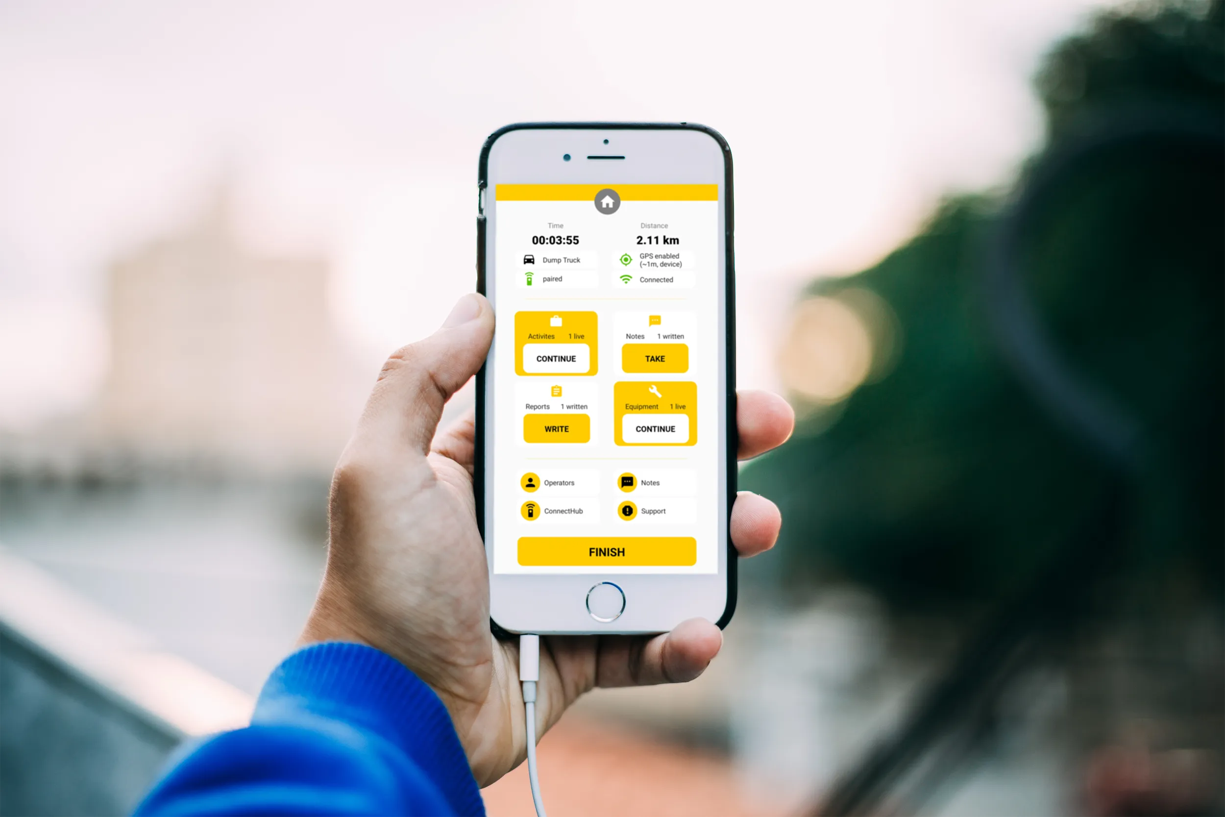
Using the bMoves app, interventions from each operator are displayed in real time on a phone, tablet or computer

With its intuitive design, bMoves allows maintenance departments of roads, airports and municipalities to improve field activity monitoring. Boschung says its innovative solution can support organisations in analytical and decision-making work.

Designed to ease the workload for maintenance departments, bMoves features tools to improve field services, onsite reporting and fleet management.

With the bMoves app, everything an operator does in the field is accurately recorded and located. The bMoves app for Android and iOS, features an easy-to use interface for efficient and reliable data acquisition. It can connect wirelessly to any vehicle and retrieve data, such as route or equipment usage.

Related Content

  • GPS guidance delivers accurate machine control
    July 12, 2012
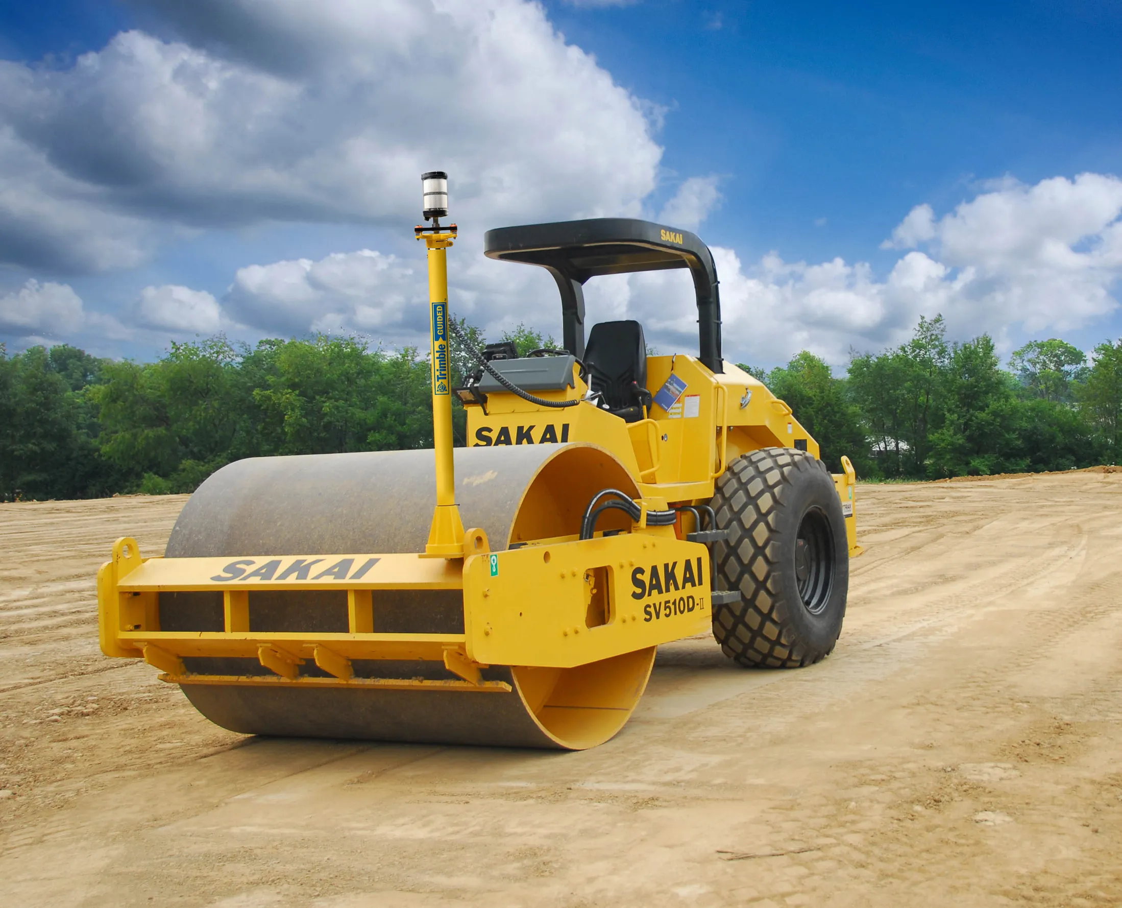
    GPS systems for machine control can make massive reductions in operating costs for contractors. Using GPS systems for machine control can make massive reductions in operating costs for contractors and the pace of technology improvements from manufacturers has been rapid. This market segment is dominated by Leica Geosystems, Trimble and Topcon, all of which introduced an array of new products earlier this year. Topcon's dozer control system first seen in public at the Intermat show in Paris, offers notable c
  • Yunex creates a green wave in Darmstadt
    April 27, 2022
    Yunex’s assistant, incorporated into Darmstadt’s DAnalytics project, will inform road users via the Signal2X smartphone app the correct speed to travel to ride the green wave.
  • Leica Geosystems introduces smart monitoring of structures
    October 1, 2014
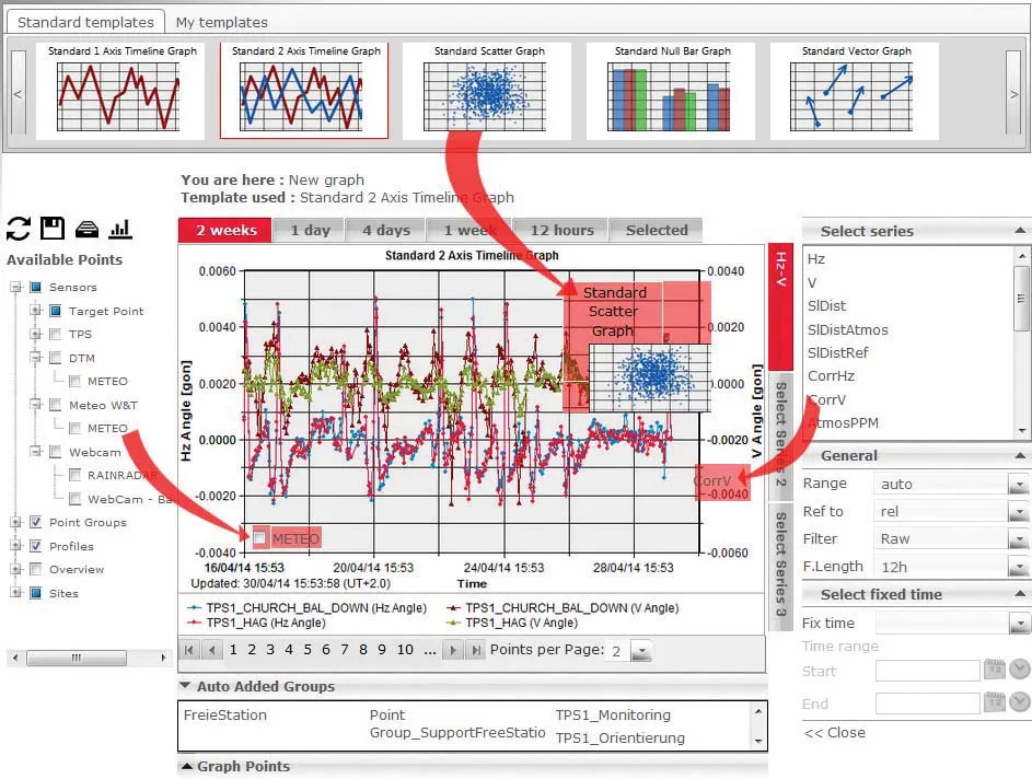
    Highly sophisticated, the Leica GeoMoS Now! From Leica Geosystems is a new web-based application enables on-the-go visualisation and analysis of structural and ground movement monitoring data. With this package, large quantities of geodetic and geotechnical data are said to be easier to handle with simplified workflows using automatic configuration and distribution tools. The package can quickly notify users of any changes in data for faster, more informed responses. Leica GeoMoS Now! allows users t
  • Smart excavators coming to market
    March 23, 2021
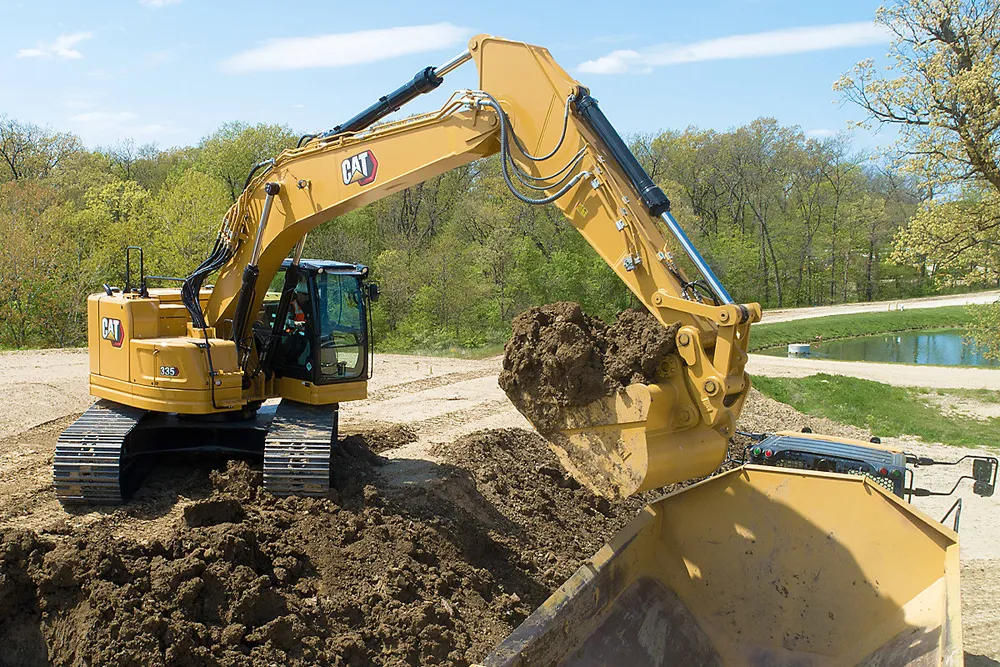
    New excavators coming to market offer a combination of increased performance and smart technology