Monitoring field activities accurately

Boschung says that its bMoves tool is a novel digital solution for managing field services.
March 14, 2022 Read time: 1 min
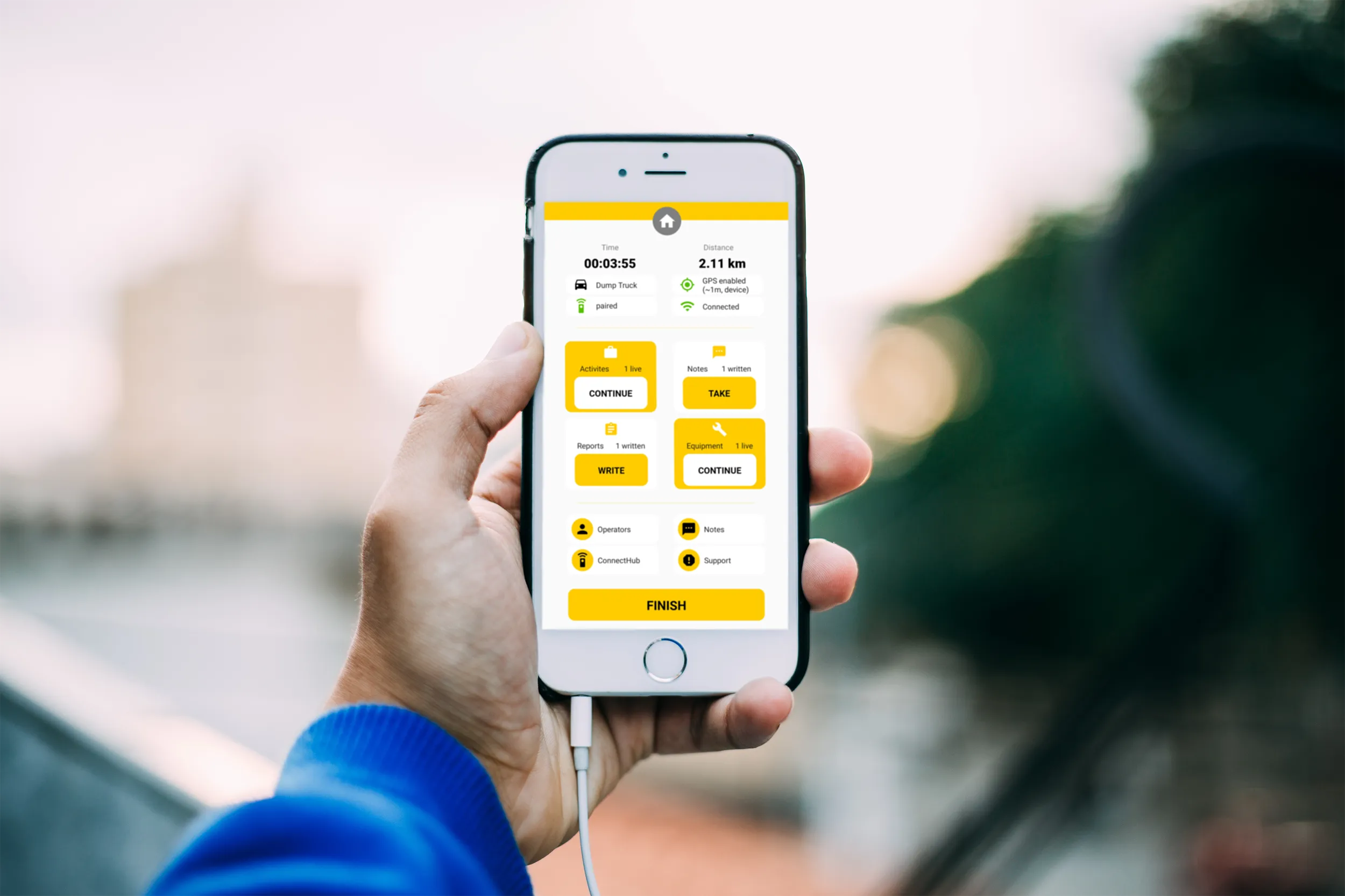
Using the bMoves app, interventions from each operator are displayed in real time on a phone, tablet or computer

With its intuitive design, bMoves allows maintenance departments of roads, airports and municipalities to improve field activity monitoring. Boschung says its innovative solution can support organisations in analytical and decision-making work.

Designed to ease the workload for maintenance departments, bMoves features tools to improve field services, onsite reporting and fleet management.

With the bMoves app, everything an operator does in the field is accurately recorded and located. The bMoves app for Android and iOS, features an easy-to use interface for efficient and reliable data acquisition. It can connect wirelessly to any vehicle and retrieve data, such as route or equipment usage.

Related Content

  • Latest GIS and software tools improve operations
    February 24, 2012
    Innovative GIS and software solutions are coming to market from the three key market players - Mike Woof reports Competition is strong in the field for GIS and surveying systems as well as the associated software. The three major players in the sector, Leica Geosystems, Topcon and Trimble, all invest heavily in research and development and continue to roll out new solutions for construction customers that will boost the efficiency of surveying as well as overall project implementation.
  • Digital construction for asphalt paving
    May 1, 2020
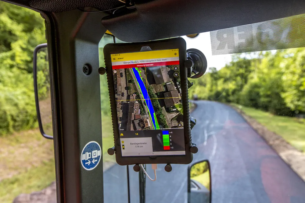
    BOMAP is an innovative tool from BOMAG for digital construction
  • Trimble’s innovative technology at Conexpo 2014
    January 6, 2017
    The Trimble Quantm alignment planning system allows road designers to reduce planning time and deliver projects with minimal environmental and social impact at a lower construction and operating cost. The system, on show at Conexpo 2014, analyses millions of alignment alternatives and returns a range of options to the planning team for consideration. When new data becomes available the Quantm system can quickly recalculate more alignment options.
  • Trimble’s innovative technology at Conexpo 2014
    January 17, 2014
    The Trimble Quantm alignment planning system allows road designers to reduce planning time and deliver projects with minimal environmental and social impact at a lower construction and operating cost. The system, on show at Conexpo 2014, analyses millions of alignment alternatives and returns a range of options to the planning team for consideration. When new data becomes available the Quantm system can quickly recalculate more alignment options.