Mobile mapping tool

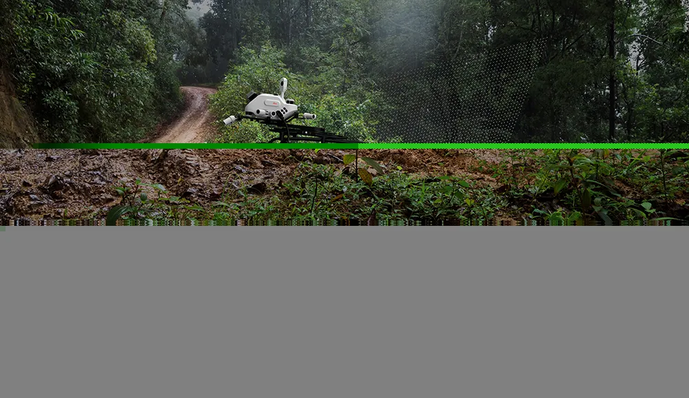
Leica Geosystems says that its sophisticated new Pegasus TRK system makes mobile mapping smart, autonomous and easy. This reality capture mobile mapping system is claimed to offer the benefits of artificial intelligence, autonomous workflows and intuitive interfaces.
October 14, 2022 Read time: 1 min
The new Pegasus TRK system from Leica Geosystems allows fast and accurate mobile mapping

The package features artificial intelligence capabilities and uses an advanced dynamic laser scanning and expandible imagery system for recording, measuring and visualising environments. This tool increases productivity with automated, intelligent workflows. The Pegasus TRK can be operated by one person, making mapping projects more efficient and cost-effective.

It is suitable for industry professionals new to the technology, while providing reliable, high-quality performance for applications in surveying, transportation and utilities.

The Pegasus TRK solution features an AI-enhanced camera and automatic camera calibration. To comply with privacy regulations, its AI can identify and blur identifiers, such as people and vehicles, in real time. The system can also be used to generate high-definition base maps for autonomous vehicles.

The Pegasus TRK connects with the new Leica Pegasus FIELD software for autonomous data collection and route planning in the field. It also connects with the Leica Cyclone Pegasus OFFICE for input into post-processing and publishing workflows. 

For more information on companies in this article

Related Content

  • Efficient asset management delivers
    April 25, 2013
    Maximising the economic benefit of infrastructure assets can be achieved through delivering better quality maintenance. Increasing utilisation of infrastructure follows on from those assets being in better condition. Clearly by tracking infrastructure condition closely, huge gains can be made in addressing technical issues before they become more serious and more costly, as well as minimising disruption. In UK city Birmingham, high resolution aerial photography from Bluesky is helping the city council under
  • Bentley advances construction software technology
    December 19, 2016
    Design and construction software specialist Bentley Systems is strengthening its position in the market with the introduction of new software advances as well as a series of strategic business moves. This allows the company to offer new solutions and technologies to its client base, as well as reaching out to new business segments The firm is introducing an array of powerful tools to the market. A key launch is for the OpenRoads Designer CONNECT Edition, which is the successor to Bentley’s well-proven an
  • AI-InfraSolutions, STEMMER improve asset ID
    November 20, 2024
    Their panoramic camera head is designed for automated data collection in applications such as traffic sign identification, road condition assessments and environmental monitoring.
  • Software innovations aid road design
    February 24, 2012
    As an aid to design, construction software continues to be a foundation stone in new project development. Autodesk is working with the Incheon Free Economic Zone (IFEZ) and the Incheon Urban Development Corporation (IUDC) to cooperate in the creation of Asia's first Digital City for Incheon.