Mobile mapping tool

Leica Geosystems says that its sophisticated new Pegasus TRK system makes mobile mapping smart, autonomous and easy. This reality capture mobile mapping system is claimed to offer the benefits of artificial intelligence, autonomous workflows and intuitive interfaces.
October 14, 2022 Read time: 1 min
The new Pegasus TRK system from Leica Geosystems allows fast and accurate mobile mapping

The package features artificial intelligence capabilities and uses an advanced dynamic laser scanning and expandible imagery system for recording, measuring and visualising environments. This tool increases productivity with automated, intelligent workflows. The Pegasus TRK can be operated by one person, making mapping projects more efficient and cost-effective.

It is suitable for industry professionals new to the technology, while providing reliable, high-quality performance for applications in surveying, transportation and utilities.

The Pegasus TRK solution features an AI-enhanced camera and automatic camera calibration. To comply with privacy regulations, its AI can identify and blur identifiers, such as people and vehicles, in real time. The system can also be used to generate high-definition base maps for autonomous vehicles.

The Pegasus TRK connects with the new Leica Pegasus FIELD software for autonomous data collection and route planning in the field. It also connects with the Leica Cyclone Pegasus OFFICE for input into post-processing and publishing workflows. 

For more information on companies in this article

Related Content

  • Bentley Systems launches OpenRoads Designer CONNECT Edition
    April 13, 2017
    The beginning of this year saw Bentley Systems launch a major advanced comprehensive global tool for today’s increasingly widespread BIM environment. Christmas 2016 came early for Bentley's global clients. In fact, they had a hint of what was going to be under their tree come the celebrations in December. On November 1, at Bentley’s annual global client gathering and awards event Year in Infrastructure Conference in London, the solutions provider announced that OpenRoads Designer CONNECT Edition would be a
  • Software innovations boosting construction efficiency
    February 6, 2017
    Software innovations can help road construction and asset management – Mike Woof writes New developments in construction software offer major benefits for civil engineers, contractors and maintenance firms. The latest advances will help optimise the construction process, while also allowing easier monitoring of existing assets. In terms of construction, Bentley Systems is again pushing the bar with regard to advanced software solutions. Its latest OpenRoads ConceptStation package is said to combine en
  • Data handling for efficient machine control
    October 16, 2012
    The rapid increase in information availability is transforming the construction sector. Conventional methods used for sourcing geographic data based on maps and localised sampling meant that there was often a lack of accurate information relating to ground conditions at specific areas where work was planned, often resulting in unwelcome surprises for construction companies along with additional costs for projects.
  • US road asset map
    December 13, 2024
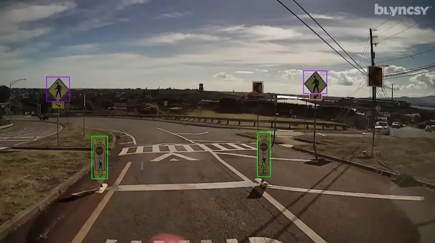
    A comprehensive map of the US interstate network is now available through Blyncsy, part of Bentley Systems.