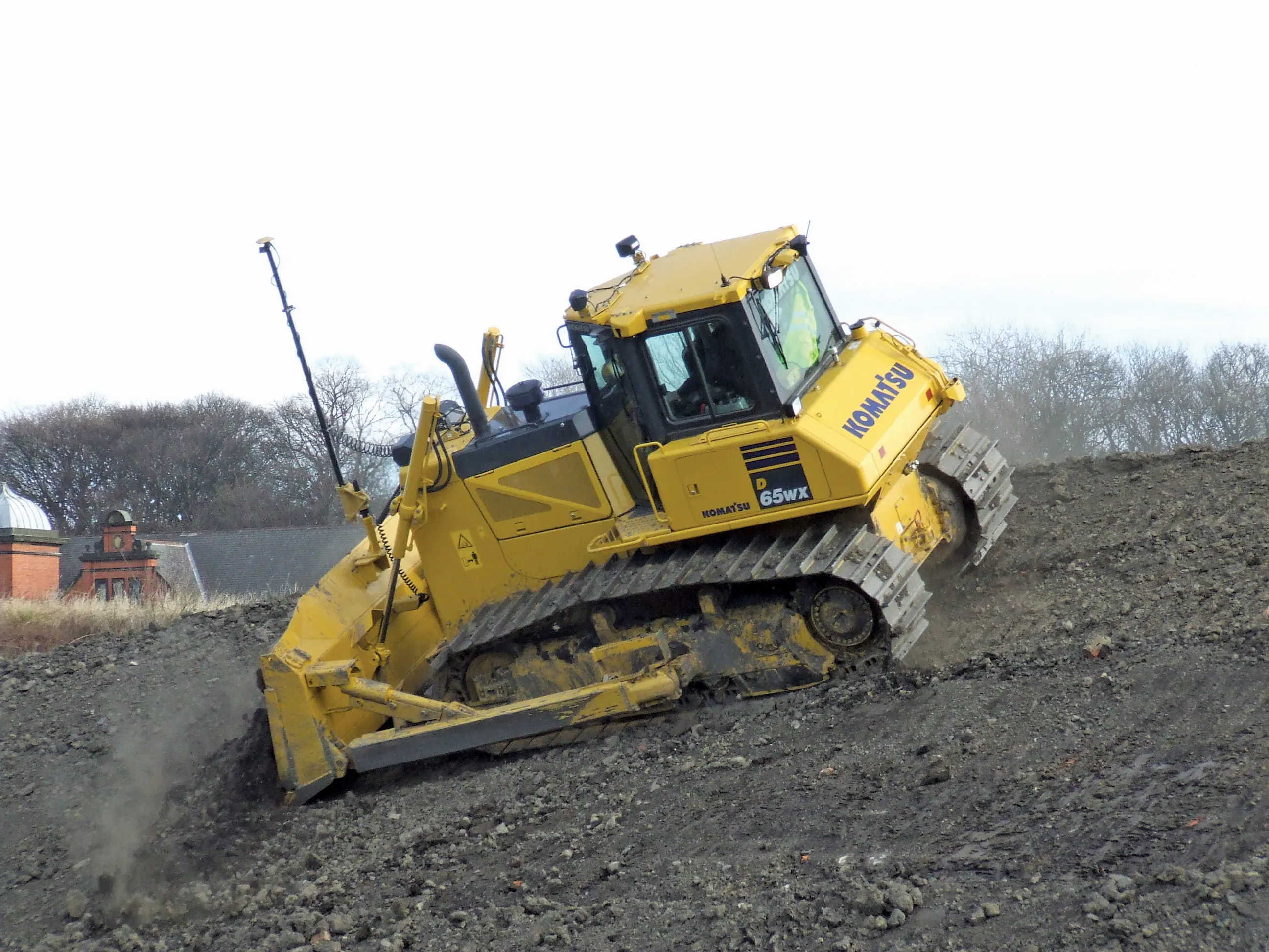
Mapping improvements

Trimble says that its Construction Manager version 2.5 package offers polygon site management and better support for CAD map overlays, using imagery provided by Google Maps. This advanced remote construction asset management solution combines GPS technology with wireless communication and Internet capabilities. The package can supply quantitative information to analyse and improve asset productivity, saving time and cutting construction project costs. The software features interpret charts, reports, and das
February 13, 2012 Read time: 1 min
2122 Trimble says that its Construction Manager version 2.5 package offers polygon site management and better support for CAD map overlays, using imagery provided by 1224 Google Maps. This advanced remote construction asset management solution combines GPS technology with wireless communication and Internet capabilities. The package can supply quantitative information to analyse and improve asset productivity, saving time and cutting construction project costs. The software features interpret charts, reports, and dashboard views, providing information for analysing and evaluating construction operations. Users can generate multi-sided polygon sites for managing equipment site entries and exits, as well as on-site machine utilisation and productivity reporting. For complex road construction and quarry sites, the package can produce site reports that allow accurate job coding and time-on-site data.

For more information on companies in this article

Related Content

  • GPS guidance delivers accurate machine control
    July 12, 2012
    GPS systems for machine control can make massive reductions in operating costs for contractors. Using GPS systems for machine control can make massive reductions in operating costs for contractors and the pace of technology improvements from manufacturers has been rapid. This market segment is dominated by Leica Geosystems, Trimble and Topcon, all of which introduced an array of new products earlier this year. Topcon's dozer control system first seen in public at the Intermat show in Paris, offers notable c
  • Rapid adoption of GPS machine control
    April 5, 2012
    The high sophistication of GPS machine control systems has resulted in a fast pace of technological advancement. The three major players in the machine control sector, Leica Geosystems, Topcon and Trimble have all made major gains in recent years. The sophistication of the latest systems can combine satellite position data from the GPS and GLONASS networks with information from total stations to provide precise, high speed machine operation. Further more the firms have also prepared themselves for the intro
  • Wireless mapping, data logging and asset management
    February 24, 2012
    Topcon says that its advanced SiteLink technology provides a comprehensive information technology solution for equipment on construction sites. The SiteLink product is a wireless communications mapping, data logging, reporting and asset management package that can be used on off-highway equipment. According to Topcon the system can be used with any make, model or type of job site machine, regardless of manufacturer and age. The system can also pinpoint via GPS any make of equipment on a job site, serving as
  • Key developments are changing the face of the machine control market
    April 4, 2013
    Various business moves are changing the face of the machine control sector - Mike Woof reports An array of developments, both business moves and new technologies, are changing the focus for the machine control segment of the construction equipment sector. For a long time three firms, Leica Geosystems, Trimble and Topcon, have dominated this segment. The three are retaining their strong positions in the market but are seeing additional competition from Hemisphere and MOBA. Arguably the biggest news is that T