Mapping improvements

Trimble says that its Construction Manager version 2.5 package offers polygon site management and better support for CAD map overlays, using imagery provided by Google Maps. This advanced remote construction asset management solution combines GPS technology with wireless communication and Internet capabilities. The package can supply quantitative information to analyse and improve asset productivity, saving time and cutting construction project costs. The software features interpret charts, reports, and das
February 13, 2012 Read time: 1 min
2122 Trimble says that its Construction Manager version 2.5 package offers polygon site management and better support for CAD map overlays, using imagery provided by 1224 Google Maps. This advanced remote construction asset management solution combines GPS technology with wireless communication and Internet capabilities. The package can supply quantitative information to analyse and improve asset productivity, saving time and cutting construction project costs. The software features interpret charts, reports, and dashboard views, providing information for analysing and evaluating construction operations. Users can generate multi-sided polygon sites for managing equipment site entries and exits, as well as on-site machine utilisation and productivity reporting. For complex road construction and quarry sites, the package can produce site reports that allow accurate job coding and time-on-site data.

For more information on companies in this article

Related Content

  • Trimble announces key technology developments
    November 7, 2018
    Trimble is expanding its range of machine control technology options for users of graders and excavators with the release of key new releases. One is for the LOADRITE Payload Management system, which can now be utilised on excavators already equipped with the Trimble Earthworks Grade Control Platform. The other systems are new versions of the Trimble Earthworks Grade Control Platform that can be used with graders or deliver automatic guidance for tiltrotators. These are key developments for the firm, boo
  • Leica launch next generation machine control receiver
    January 6, 2017
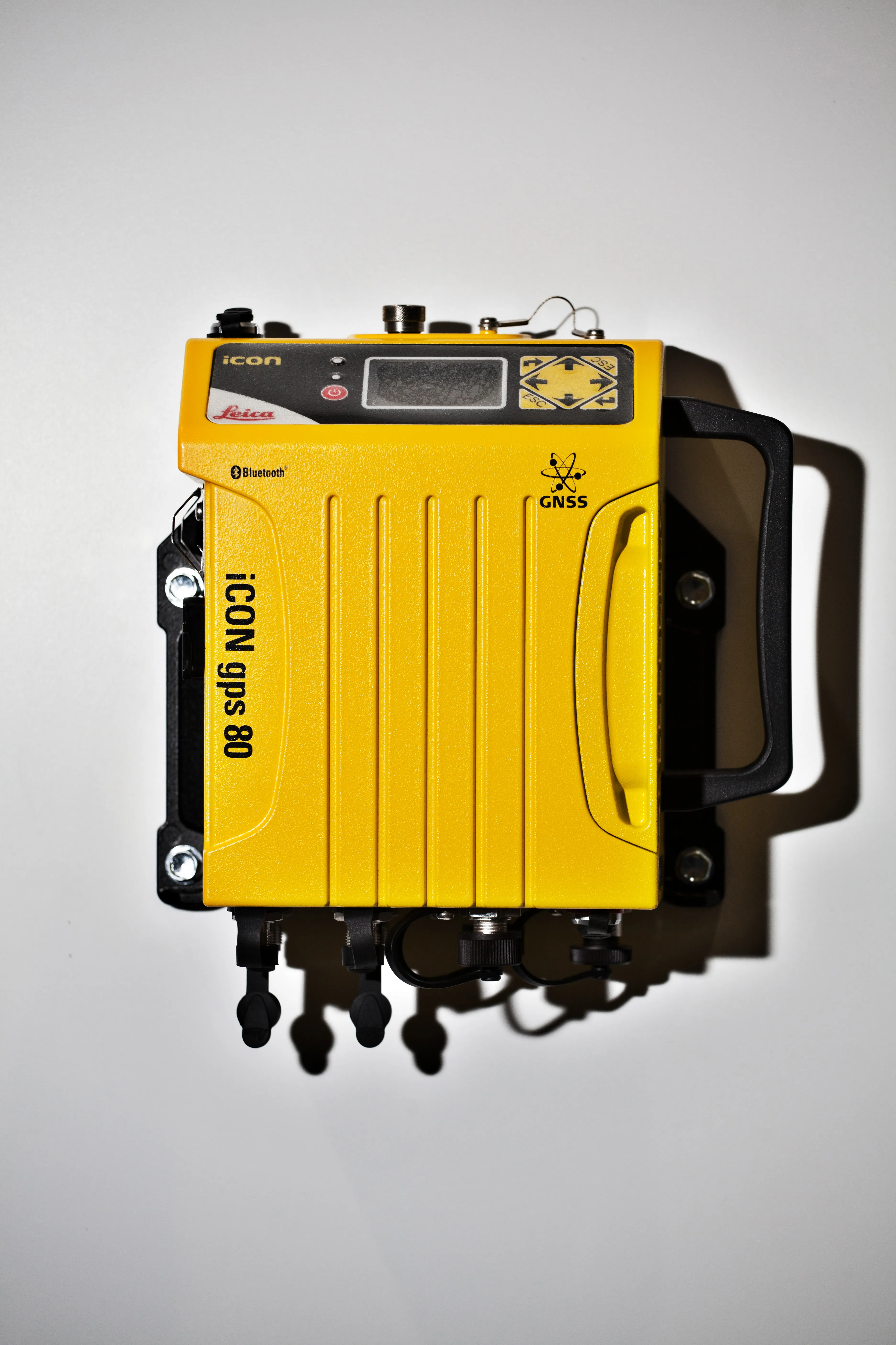
    The Leica iCON gps 80 machine control receiver is a compact and rugged GNSS receiver especially developed for a wide range of machine control applications to increase the overall positioning performance on all construction equipment. It easily and safely fits into any construction machine cabin, communicates seamlessly with all iCONtrol solutions on-site and integrates the iCON telematics fleet management software. The flexible communication provides smooth integration with equipment and solutions for OEM p
  • Leica launch next generation machine control receiver
    March 6, 2014
    The Leica iCON gps 80 machine control receiver is a compact and rugged GNSS receiver especially developed for a wide range of machine control applications to increase the overall positioning performance on all construction equipment. It easily and safely fits into any construction machine cabin, communicates seamlessly with all iCONtrol solutions on-site and integrates the iCON telematics fleet management software. The flexible communication provides smooth integration with equipment and solutions for OEM p
  • Bentley developing software portfolio with new acquisition
    January 14, 2015
    Software specialist Bentley Systems continues to develop its engineering software portfolio, this time with the acquisition of the UK-based firm C3global. This move brings Bentley the web-based Amulet software for operational analytics. From a product portfolio perspective, it complements Bentley’s AssetWise platform, which serves configuration management, asset health monitoring, inspection, maintenance, and compliance for infrastructure assets. The move means AssetWise will deliver additional actionable i