Mapping improvements

Trimble says that its Construction Manager version 2.5 package offers polygon site management and better support for CAD map overlays, using imagery provided by Google Maps. This advanced remote construction asset management solution combines GPS technology with wireless communication and Internet capabilities. The package can supply quantitative information to analyse and improve asset productivity, saving time and cutting construction project costs. The software features interpret charts, reports, and das
February 13, 2012 Read time: 1 min
2122 Trimble says that its Construction Manager version 2.5 package offers polygon site management and better support for CAD map overlays, using imagery provided by 1224 Google Maps. This advanced remote construction asset management solution combines GPS technology with wireless communication and Internet capabilities. The package can supply quantitative information to analyse and improve asset productivity, saving time and cutting construction project costs. The software features interpret charts, reports, and dashboard views, providing information for analysing and evaluating construction operations. Users can generate multi-sided polygon sites for managing equipment site entries and exits, as well as on-site machine utilisation and productivity reporting. For complex road construction and quarry sites, the package can produce site reports that allow accurate job coding and time-on-site data.

For more information on companies in this article

Related Content

  • Innovative GIS advances from Bluesky
    July 18, 2012
    Aerial survey specialist Bluesky is funding research into the development and use of a new system to map the UK’s cities and towns at night. Bluesky has teamed up with the University of Leicester to look at solutions using new high sensitivity camera sensor technology. Mounted on survey aircraft, the new system can record the location of street lights, illuminated road signs and other night-time sources of light. This can deliver an accurate resource for asset inventories, light pollution assessment and ene
  • Mobile mapping innovation
    June 1, 2022
    There are millions of kilometres of roads and features that need to be mapped in today’s world. We see a strong vision and application for the future, therefore Leica Geosystems, part of Hexagon, recently announced the introduction of the reality capture mobile mapping system Leica Pegasus TRK, introducing artificial intelligence, autonomous workflows and intuitive interfaces. This technology goes beyond the capabilities of what’s already been done, making it the perfect companion for today’s mobile mapping requirements.
  • Fast field data collection
    February 10, 2012
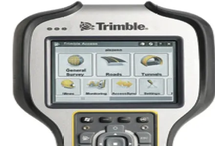
    Trimble's sophisticated TSC3 controller is designed to allow surveyors and geospatial professionals to collect, share and deliver data. This unit is said to improve accuracy, efficiency and productivity between the field and office and is designed to be used with the Trimble Access software. The TSC3 controller offers fast and reliable data collection, computing and connectivity capabilities and provides multiple functions in a single handheld device. The unit incorporates a digital camera, integrated commu
  • Tunnelling with Atlas Copco's HPT
    February 6, 2012
    Atlas Copco claims that its high precision tunnelling (HPT) system will offer greater productivity and reduced costs in drill and blast tunnelling operations. The HPT system is a package with five options for use on drill rigs and other types of construction equipment. Advanced PC-based software allows a worksite office to provide operational support to Atlas Copco rigs equipped with the Rig Control System (RCS). The Tunnel Manager system can help plan, store and evaluate data for the drilling process. This