Mapping effectively with vehicle-based imaging

Yotta is offering an innovative vehicle-based imaging service that will provide accurate high-resolution panoramic street-level views of highway features. The vehicle is equipped with a 60 megapixel panoramic camera developed by Yotta and uses Applanix satellite positioning technology to log the exact location of each image. The vehicle cam improves street-level mapping operations with accurate 3D images of buildings and other highway features, such as signs, trees, barriers and fences. Called Y360, the veh
July 23, 2012 Read time: 2 mins
5153 Yotta DCL is offering an innovative vehicle-based imaging service that will provide accurate high-resolution panoramic street-level views of highway features. The vehicle is equipped with a 60 megapixel panoramic camera developed by Yotta and uses Applanix satellite positioning technology to log the exact location of each image. The vehicle cam improves street-level mapping operations with accurate 3D images of buildings and other highway features, such as signs, trees, barriers and fences. Called Y360, the vehicle's digital camera captures images every 2m, with the position calculated by combining GPS, inertial and optical tracking systems. These images are processed by Yotta software that gives the precise position and detailed information for each feature captured by the camera. According to the firm, Y360 offers a huge step forward in technology. The vehicle is being used for an array of applications including highway asset collection for local authorities, highways agencies and their contractors, and 3D mapping for utility companies.

For more information on companies in this article

Related Content

  • Take the lead in milling
    April 30, 2024
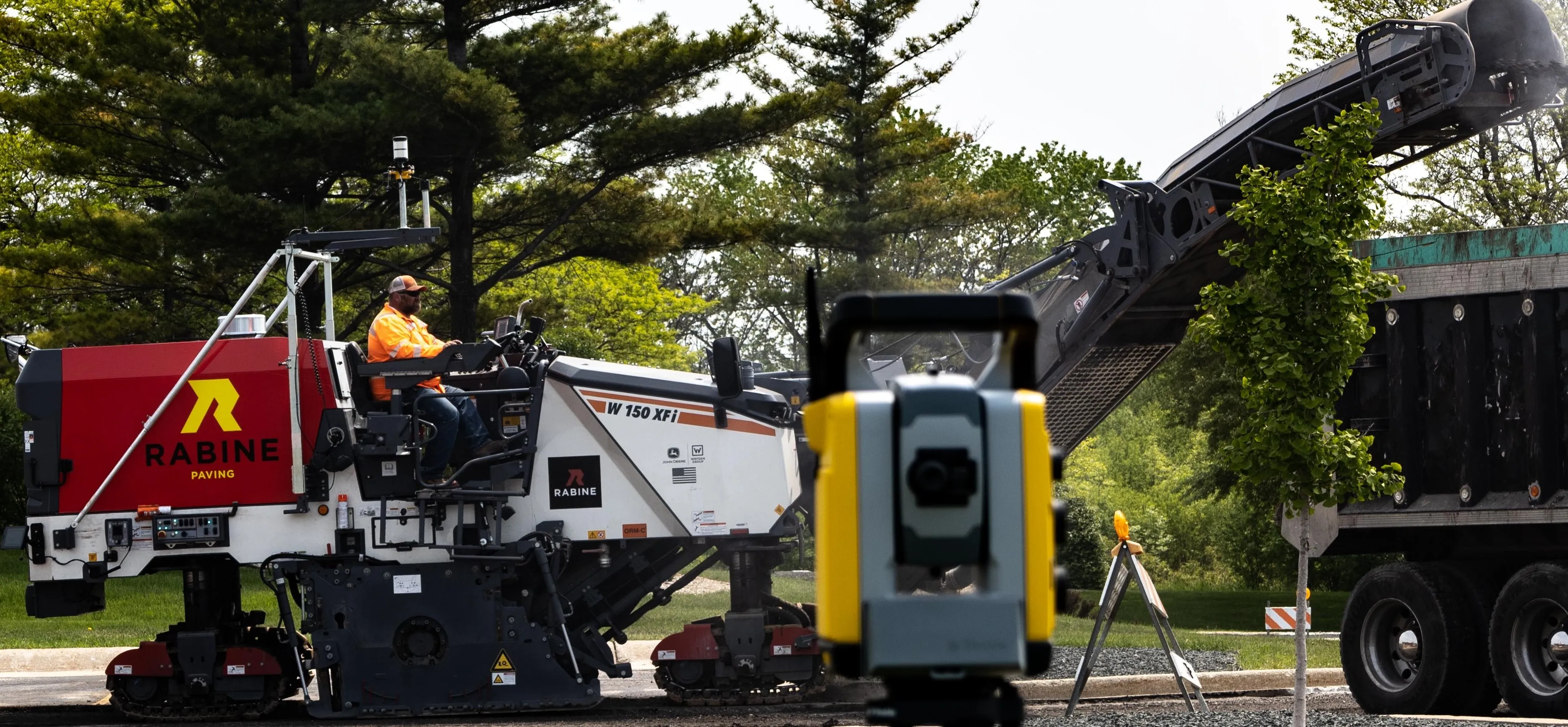
    Being an early adopter of machine control systems has been a benefit for a US contractor.
  • Stone Arch Bridge Rehabilitation
    May 19, 2022


    Rehabilitating an Historic Landmark

  • Efficient concrete inspection from GSSI
    June 17, 2016
    A new portable tool from GSSI offers fast and accurate analysis of concrete structures. The firm’s latest handheld ground penetrating radar (GPR) can be used for concrete inspection Industry. The StructureScan Mini series is a handheld, all-in-one GPR system for locating rebar, conduits, post-tension cables and voids. The unit can also be used to determine concrete slab thickness in real time. The firm offers the product in two models, the standard StructureScan Mini and the high resolution StructureSca
  • Accurate asphalt compaction
    July 21, 2022
    The latest compaction package from Trimble helps to deliver a quality surface more quickly and efficiently. According to the firm, the system allows operators to accurately control the compaction process, while reducing unnecessary passes that can result in over compaction.