Mapping effectively with vehicle-based imaging

Yotta is offering an innovative vehicle-based imaging service that will provide accurate high-resolution panoramic street-level views of highway features. The vehicle is equipped with a 60 megapixel panoramic camera developed by Yotta and uses Applanix satellite positioning technology to log the exact location of each image. The vehicle cam improves street-level mapping operations with accurate 3D images of buildings and other highway features, such as signs, trees, barriers and fences. Called Y360, the veh
July 23, 2012 Read time: 2 mins
5153 Yotta DCL is offering an innovative vehicle-based imaging service that will provide accurate high-resolution panoramic street-level views of highway features. The vehicle is equipped with a 60 megapixel panoramic camera developed by Yotta and uses Applanix satellite positioning technology to log the exact location of each image. The vehicle cam improves street-level mapping operations with accurate 3D images of buildings and other highway features, such as signs, trees, barriers and fences. Called Y360, the vehicle's digital camera captures images every 2m, with the position calculated by combining GPS, inertial and optical tracking systems. These images are processed by Yotta software that gives the precise position and detailed information for each feature captured by the camera. According to the firm, Y360 offers a huge step forward in technology. The vehicle is being used for an array of applications including highway asset collection for local authorities, highways agencies and their contractors, and 3D mapping for utility companies.

For more information on companies in this article

Related Content

  • Topcon announces increased integration with Autodesk scanning software
    June 2, 2016
    Topcon Positioning Group has announced increased integration in the Autodesk and Topcon reality data workflow that it says is designed to increase project efficiency. Raw scan data from the Topcon GLS-2000 laser scanner can now be taken directly into Autodesk ReCap 360 and ReCap 360 Pro with no intermediate software conversion steps necessary. Topcon said that this integration is designed to streamline point cloud analysis to quickly identify conflicts, measure variations and make adjustments at vari
  • Innovations in machine control delivering performance
    May 20, 2019
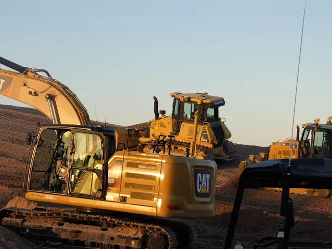
    New innovations in machine control are delivering highperformance, with advances to come showing future potential – Mike Woof writes In transportation, the potential for autonomous vehicles that operate without the need for a human driver is now being evaluated. A string of development projects are underway by an array of automotive and technology companies, sometimes in partnership with each other. In the mining sector, autonomous machines have been operating in underground facilities for 20 years and
  • Colas’s Yellow Project warns highway teams of collision risk
    November 7, 2017
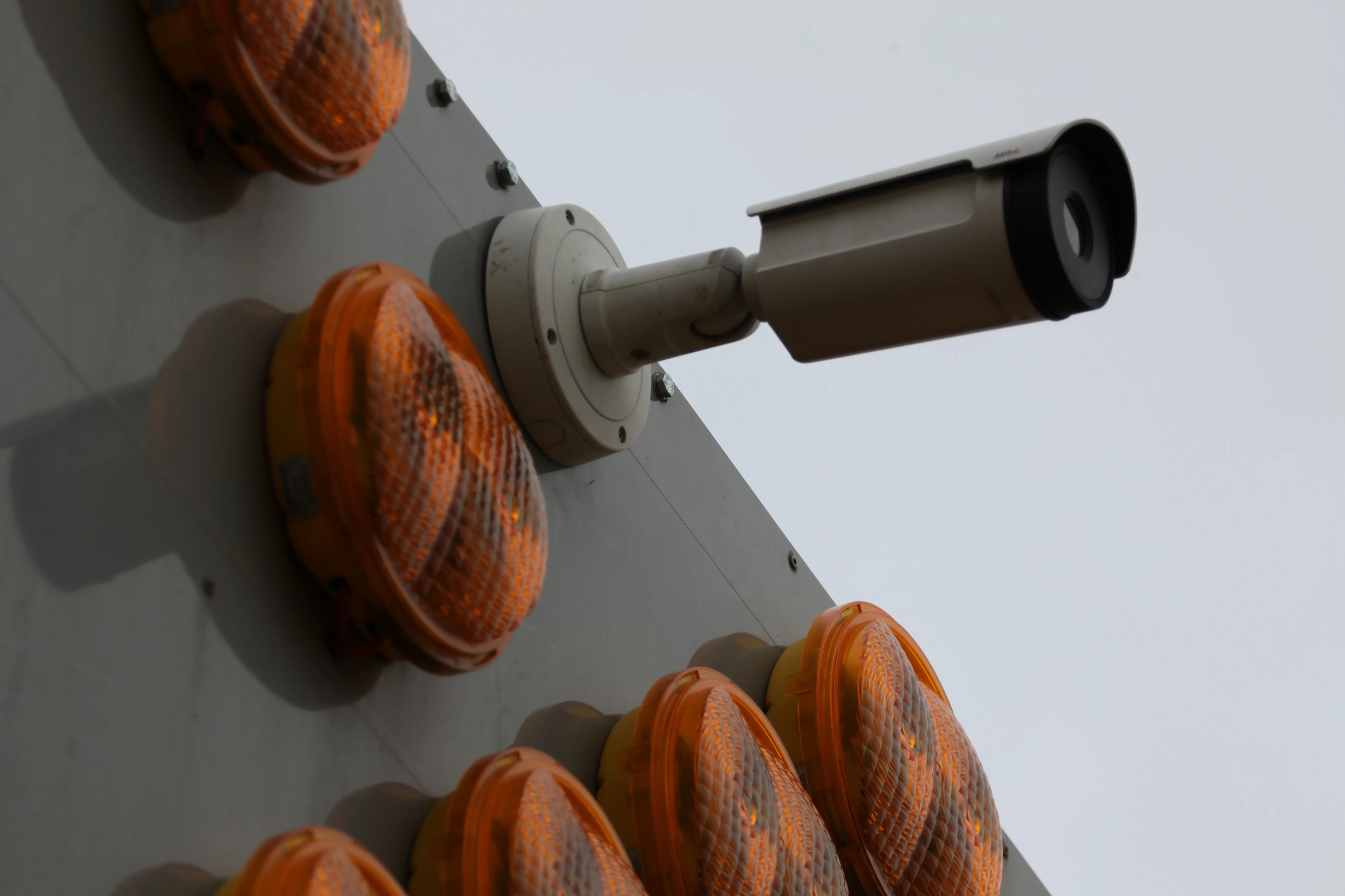
    Colas’s Yellow Project has been developed with Aximum Electronic Products - a Colas Group Company - and software experts Foxstream. The system uses thermal imaging and video analytics to detect and classify approaching vehicles into “threat categories”. It identifies those that pose the greatest collision risk with a highway works vehicle or nearby workers. The thermal camera is mounted at height on the rear of a works or emergency vehicle and performs in both dark conditions and full sunlight. It does not
  • Scheduling efficiently with B2W
    July 20, 2020
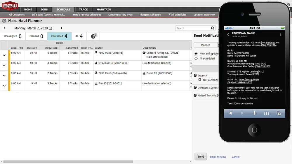
    Sophisticated software from B2W is said to help ensure efficient logistics operations for construction sites by providing comprehensive trucking management capabilities.