Mapping effectively with vehicle-based imaging

Yotta is offering an innovative vehicle-based imaging service that will provide accurate high-resolution panoramic street-level views of highway features. The vehicle is equipped with a 60 megapixel panoramic camera developed by Yotta and uses Applanix satellite positioning technology to log the exact location of each image. The vehicle cam improves street-level mapping operations with accurate 3D images of buildings and other highway features, such as signs, trees, barriers and fences. Called Y360, the veh
July 23, 2012 Read time: 2 mins
5153 Yotta DCL is offering an innovative vehicle-based imaging service that will provide accurate high-resolution panoramic street-level views of highway features. The vehicle is equipped with a 60 megapixel panoramic camera developed by Yotta and uses Applanix satellite positioning technology to log the exact location of each image. The vehicle cam improves street-level mapping operations with accurate 3D images of buildings and other highway features, such as signs, trees, barriers and fences. Called Y360, the vehicle's digital camera captures images every 2m, with the position calculated by combining GPS, inertial and optical tracking systems. These images are processed by Yotta software that gives the precise position and detailed information for each feature captured by the camera. According to the firm, Y360 offers a huge step forward in technology. The vehicle is being used for an array of applications including highway asset collection for local authorities, highways agencies and their contractors, and 3D mapping for utility companies.

For more information on companies in this article

Related Content

  • GPS machine control boosts road surface quality
    February 14, 2012
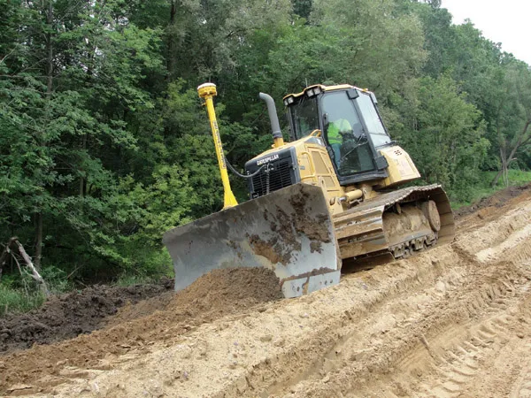
    The use of GPS machine control on sub-base has improved final rideability on a major highway reconstruction project. Innovative construction techniques have helped to upgrade a 9.6km stretch of the 307km long I-96 highway in the US state of Michigan. The Michigan Department of Transportation (MDOT) project was initiated in the third quarter of 2009 and was completed in the fourth quarter of 2010. Interstate Highway Construction acted as general contractor on the project, which included widening the shoulder
  • Weigh in motion systems aid overweight vehicle detection
    July 12, 2012
    Modern weighing equipment helps road operators tackle the costly business of road damage caused by overloaded trucks as Patrick Smith reports. Overloading of commercial vehicles has a major impact on the life expectancy of road networks. The cost of premature road failure and repairs is a major burden on many governments particularly in developing countries where this problem diverts vital funding that could otherwise be spent on health and education.
  • Low temperature asphalt and aggregate options’
    February 7, 2014
    At what point does ‘some technology’ become ‘enough technology’? Less than four years ago industry publications were filled with a persistent message, the reluctance of UK based contractors to adopt machine control to the same extent as near European neighbours, particularly close ones such as Ireland and Holland. However from 2009 onwards we have seen a huge shift in demand for machine control as the success of high profile road and rail jobs such as the M25 widening scheme and Airdrie – Bathgate rail
  • Frost Control gets the picture
    April 1, 2021
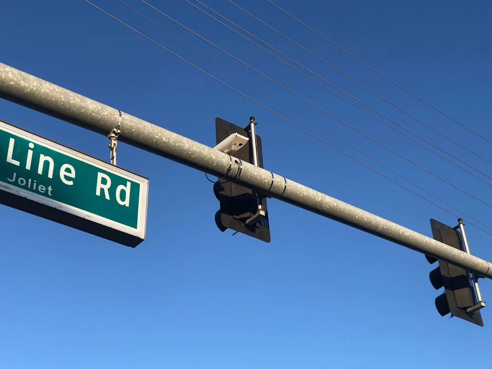
    Frost Control Systems says it has added cameras to its sensor-based fixed road weather information system (RWIS) for improved information accuracy.