Mapping effectively with vehicle-based imaging

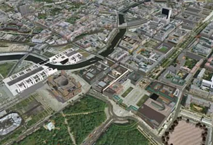
Yotta is offering an innovative vehicle-based imaging service that will provide accurate high-resolution panoramic street-level views of highway features. The vehicle is equipped with a 60 megapixel panoramic camera developed by Yotta and uses Applanix satellite positioning technology to log the exact location of each image. The vehicle cam improves street-level mapping operations with accurate 3D images of buildings and other highway features, such as signs, trees, barriers and fences. Called Y360, the veh
July 23, 2012 Read time: 2 mins
5153 Yotta DCL is offering an innovative vehicle-based imaging service that will provide accurate high-resolution panoramic street-level views of highway features. The vehicle is equipped with a 60 megapixel panoramic camera developed by Yotta and uses Applanix satellite positioning technology to log the exact location of each image. The vehicle cam improves street-level mapping operations with accurate 3D images of buildings and other highway features, such as signs, trees, barriers and fences. Called Y360, the vehicle's digital camera captures images every 2m, with the position calculated by combining GPS, inertial and optical tracking systems. These images are processed by Yotta software that gives the precise position and detailed information for each feature captured by the camera. According to the firm, Y360 offers a huge step forward in technology. The vehicle is being used for an array of applications including highway asset collection for local authorities, highways agencies and their contractors, and 3D mapping for utility companies.

For more information on companies in this article

Related Content

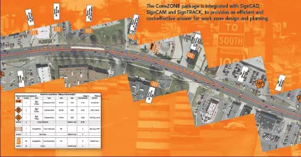
  • Workszone design and planning software
    March 6, 2012
    Managing utility works effectively is important, given that digging up roads and then patching them can dramatically cut the life of a road surface. New software tools make this process easier to manage effectively and Bentley Systems is extending its Expert Designer V8i package to include water, gas, and communications infrastructure, in addition to electric utilities. This allows utility firms and engineering contractors using Expert Designer V8i to boost the efficiency of utility network design projects.
  • Software innovations aid road design
    February 24, 2012
    As an aid to design, construction software continues to be a foundation stone in new project development. Autodesk is working with the Incheon Free Economic Zone (IFEZ) and the Incheon Urban Development Corporation (IUDC) to cooperate in the creation of Asia's first Digital City for Incheon.
  • Vehicle tracking improves winter spreading safety
    March 2, 2012
    Aebi Schmidt UK and Masternaut Three X, one of the leading providers of vehicle tracking systems, have formed a partnership to improve safety on winter roads, save money and increase the efficiency of spreading fleets. The web-based Masternaut Three X satellite tracking system interfaces with the technology of Schmidt spreaders at levels to suit every highways authority, from tracking and reporting, through to the most detailed data on vehicle performance and fleet management. At the heart of the system is
  • Yotta’s Horizons and Mayrise create a route map of the world
    September 14, 2016
    Simon Topp, director of international business at software developer Yotta, explained the need for having the best possible plan in place. Highways agencies and departments the world over face a raft of complex and difficult challenges when it comes to managing and maintaining their infrastructure assets. In some countries, where natural disasters or extreme weather events are endemic, good asset management will need to be supplemented by risk and resilience planning. In the US, for example, the Feder