Mapping effectively with vehicle-based imaging

Yotta is offering an innovative vehicle-based imaging service that will provide accurate high-resolution panoramic street-level views of highway features. The vehicle is equipped with a 60 megapixel panoramic camera developed by Yotta and uses Applanix satellite positioning technology to log the exact location of each image. The vehicle cam improves street-level mapping operations with accurate 3D images of buildings and other highway features, such as signs, trees, barriers and fences. Called Y360, the veh
July 23, 2012 Read time: 2 mins
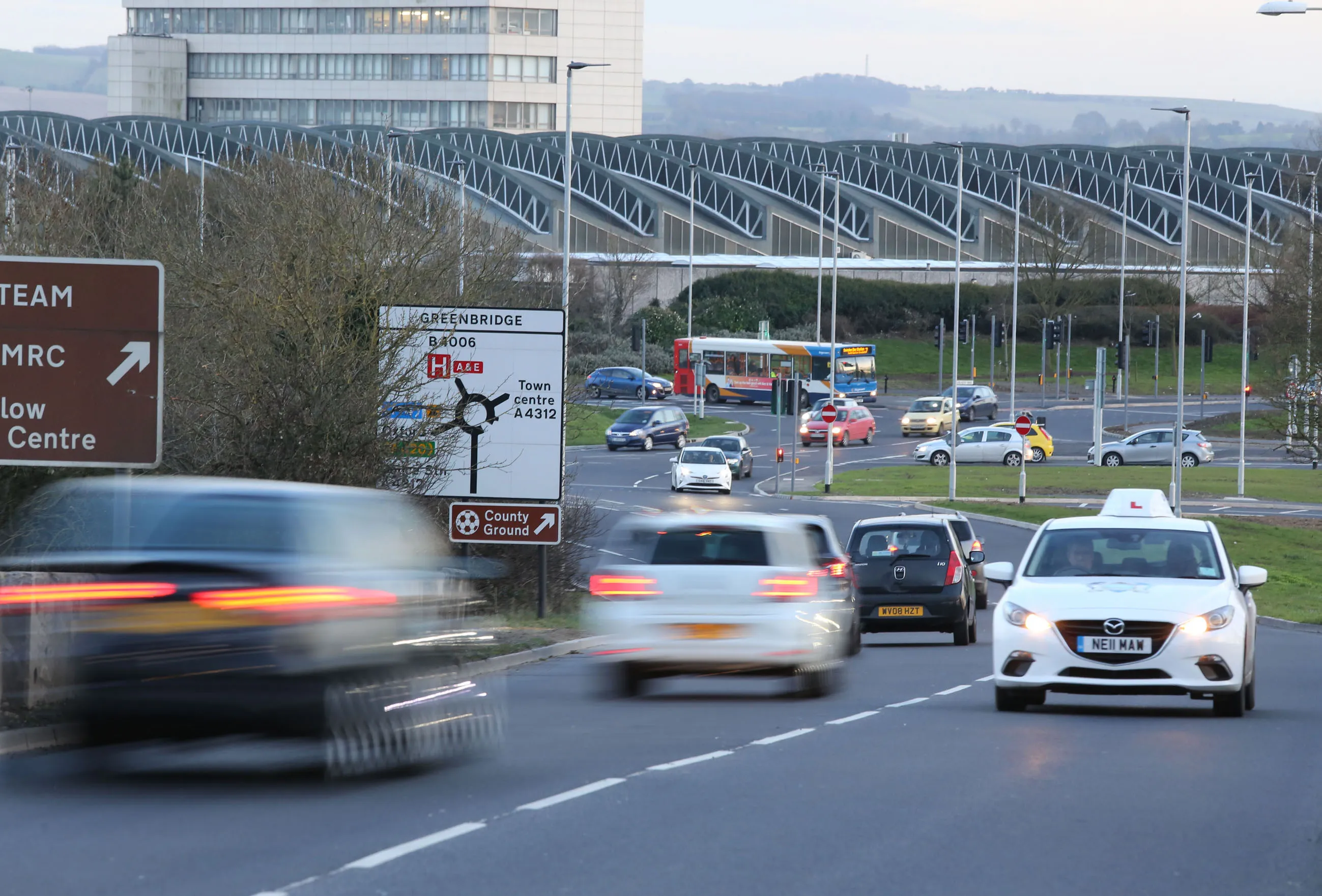
5153 Yotta DCL is offering an innovative vehicle-based imaging service that will provide accurate high-resolution panoramic street-level views of highway features. The vehicle is equipped with a 60 megapixel panoramic camera developed by Yotta and uses Applanix satellite positioning technology to log the exact location of each image. The vehicle cam improves street-level mapping operations with accurate 3D images of buildings and other highway features, such as signs, trees, barriers and fences. Called Y360, the vehicle's digital camera captures images every 2m, with the position calculated by combining GPS, inertial and optical tracking systems. These images are processed by Yotta software that gives the precise position and detailed information for each feature captured by the camera. According to the firm, Y360 offers a huge step forward in technology. The vehicle is being used for an array of applications including highway asset collection for local authorities, highways agencies and their contractors, and 3D mapping for utility companies.

For more information on companies in this article

Related Content

  • Sony launches flagship 30x zoom module
    November 27, 2012
    Sony Europe has unveiled a new flagship camera module, further advancing its range of digital OEM video cameras. The FCB-EH6500 is said to combine Sony’s renowned, ultra-sensitive Exmor CMOS sensor with a 30x optical zoom which, says Sony Europe, delivers exceptional picture clarity for transport, security and low vision applications. The camera’s 1/2.8-type colour sensor delivers true HD (1080p) video at 30fps. Compared to the previous Sony flagship device, the FCB-EH6300, the FCB-EH6500 is also said to
  • Cutting congestion and improving transportation
    March 1, 2017
    CartoConsult is now working on a project to develop technology intended to reduce traffic congestion and improve transport services. This work forms part of a £4 million Department for Transport (DfT) initiative and the mapping software technology company has been selected by Swindon Borough Council, together with IT and networking company Cisco. This will be used to deliver an alert system for traffic managers to supply information on congestion.
  • New ice detection technology for motorists
    January 23, 2013
    A new technology developed by the VTT Technical Research Centre of Finland provides drivers with warnings of black ice on the roads. This automatic detection system will warn a driver in advance that a road is dangerous due to the presence of ice. According to VTT, this uses a novel, real-time method of obtaining information on road surface friction and employs data collected from the car’s in-built sensors. This compares the speeds of the drive shafts and axles in an array of driving conditions, with an al
  • CONEXPO-CON/AGG 2017 will help you imagine what’s next
    March 15, 2017
    What sort of key trends will be on show, and how will these new technologies shape the sector over the coming years? Alan Dron interviewed Al Cervero, the AEM senior vice-president for construction, utility and mining on how the show will reveal what is coming. The theme for this year’s event is “Imagine what’s next”, a particularly appropriate title in view of the changes in both technology and the environment in which that technology will be used.