Mapping effectively with vehicle-based imaging

Yotta is offering an innovative vehicle-based imaging service that will provide accurate high-resolution panoramic street-level views of highway features. The vehicle is equipped with a 60 megapixel panoramic camera developed by Yotta and uses Applanix satellite positioning technology to log the exact location of each image. The vehicle cam improves street-level mapping operations with accurate 3D images of buildings and other highway features, such as signs, trees, barriers and fences. Called Y360, the veh
July 23, 2012 Read time: 2 mins
5153 Yotta DCL is offering an innovative vehicle-based imaging service that will provide accurate high-resolution panoramic street-level views of highway features. The vehicle is equipped with a 60 megapixel panoramic camera developed by Yotta and uses Applanix satellite positioning technology to log the exact location of each image. The vehicle cam improves street-level mapping operations with accurate 3D images of buildings and other highway features, such as signs, trees, barriers and fences. Called Y360, the vehicle's digital camera captures images every 2m, with the position calculated by combining GPS, inertial and optical tracking systems. These images are processed by Yotta software that gives the precise position and detailed information for each feature captured by the camera. According to the firm, Y360 offers a huge step forward in technology. The vehicle is being used for an array of applications including highway asset collection for local authorities, highways agencies and their contractors, and 3D mapping for utility companies.

For more information on companies in this article

Related Content

  • Traffic management drives sustainability
    June 18, 2012
    New initiatives could boost transport sustainability – David Crawford writes. New roles are opening up for urban traffic management systems in helping city authorities to meet increasingly stringent governmental and supra-governmental air quality standards. European local authorities are typically tasked with both traffic management and pollution monitoring within their areas, making them well placed to draw on the latter to mitigate the impacts of the former.
  • Handheld imaging from Leica Geosystems
    May 21, 2021
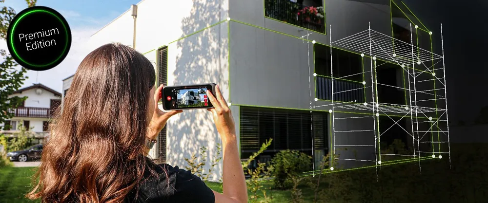
    Leica Geosystems is offering an updated imaging tool in the shape of its latest BLK3D model.
  • Picture perfect imaging
    June 18, 2012
    Topcon has produced a new imaging station which, it claims, will dramatically increase productivity when used in two-man auto-tracking or single operator robotic modes. Using prism auto-tracking scanning interface technology the IS-3, when used with Topcon’s RC-4 remote control system, will track prisms up to 1,000m away.
  • Picture perfect imaging
    June 26, 2012
    Topcon has produced a new imaging station which, it claims, will dramatically increase productivity when used in two-man auto-tracking or single operator robotic modes. Using prism auto-tracking scanning interface technology the IS-3, when used with Topcon’s RC-4 remote control system, will track prisms up to 1,000m away.