Mapping effectively with vehicle-based imaging

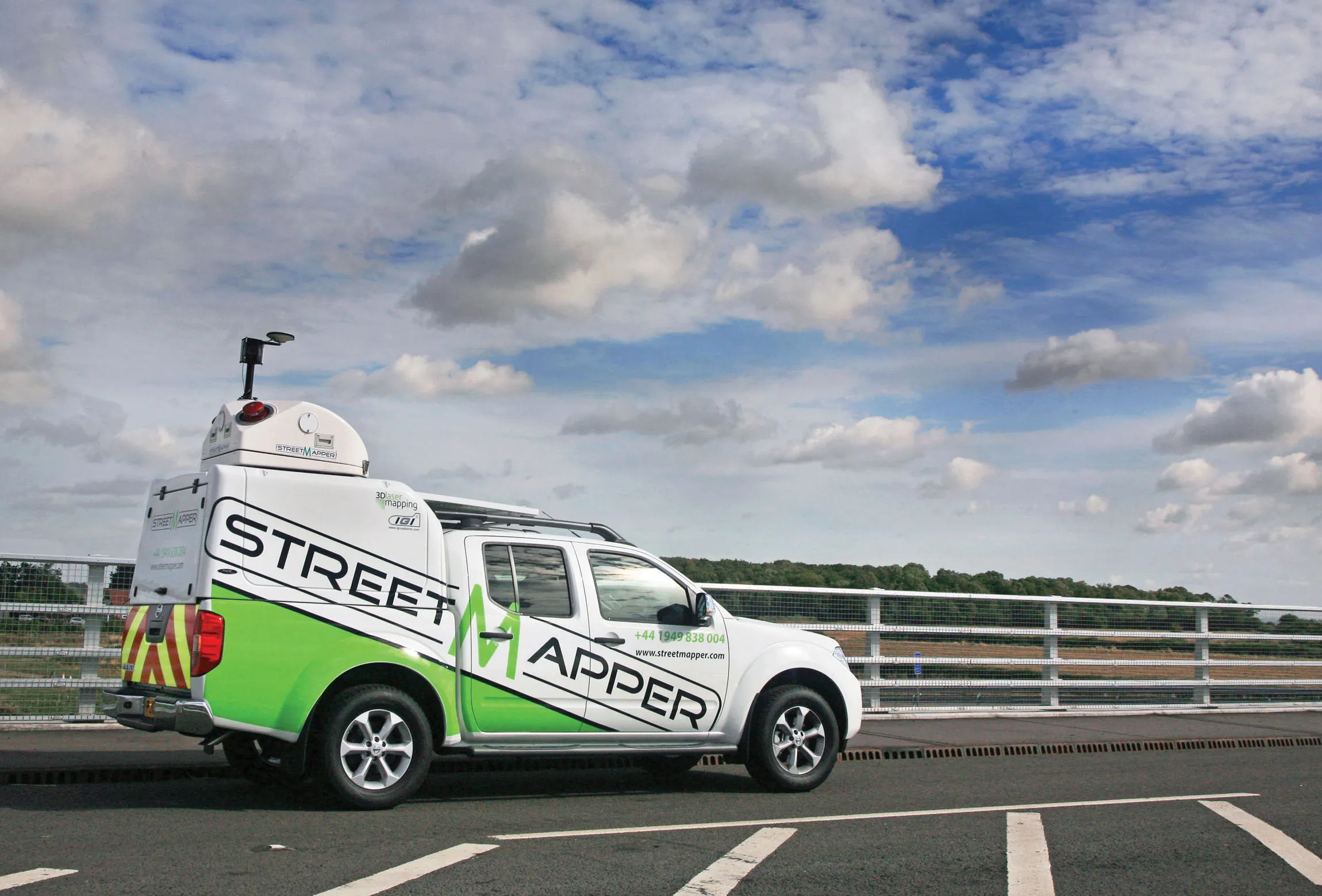
Yotta is offering an innovative vehicle-based imaging service that will provide accurate high-resolution panoramic street-level views of highway features. The vehicle is equipped with a 60 megapixel panoramic camera developed by Yotta and uses Applanix satellite positioning technology to log the exact location of each image. The vehicle cam improves street-level mapping operations with accurate 3D images of buildings and other highway features, such as signs, trees, barriers and fences. Called Y360, the veh
July 23, 2012 Read time: 2 mins
5153 Yotta DCL is offering an innovative vehicle-based imaging service that will provide accurate high-resolution panoramic street-level views of highway features. The vehicle is equipped with a 60 megapixel panoramic camera developed by Yotta and uses Applanix satellite positioning technology to log the exact location of each image. The vehicle cam improves street-level mapping operations with accurate 3D images of buildings and other highway features, such as signs, trees, barriers and fences. Called Y360, the vehicle's digital camera captures images every 2m, with the position calculated by combining GPS, inertial and optical tracking systems. These images are processed by Yotta software that gives the precise position and detailed information for each feature captured by the camera. According to the firm, Y360 offers a huge step forward in technology. The vehicle is being used for an array of applications including highway asset collection for local authorities, highways agencies and their contractors, and 3D mapping for utility companies.

For more information on companies in this article

Related Content

  • Optimising traffic control ensures efficient use of infrastructure
    April 10, 2013
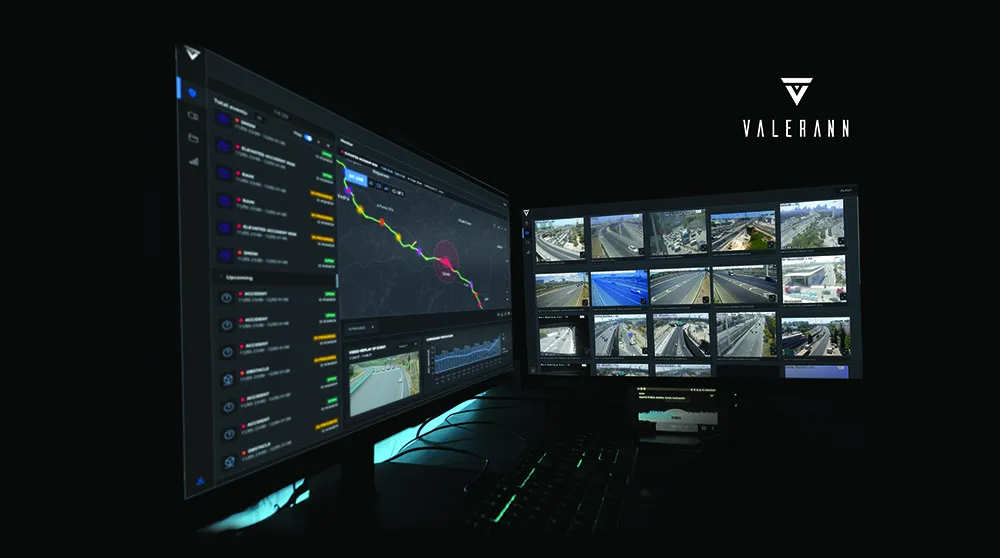
    Central and local governments are facing many challenges, not least a shortage of funds due to budget restraints in the US and Europe in particular. In other markets, ensuring efficient traffic flow is the priority, with monitoring of network status being a key tool. New technology for traffic monitoring plays a crucial role and the sector is keen to introduce new and more efficient systems. The Transport Research laboratory (TRL) has long been a pioneer of traffic control technologies and its latest MAAPc
  • Topcon to smoothen roads with SmoothRide system
    February 28, 2018
    Topcon Positioning has developed a sophisticated package that can help deliver better road surface quality. The firm’s latest SmoothRide data collection package is said to make the mapping of road conditions easier and more efficient. The new RD-M1 Collect 2.0 package has an improved interface and a new graphical interface status bar that indicates the optimum speed for collecting road information based on the project requirements.
  • Efficient road traffic management for large-scale sporting events
    October 25, 2022
    Modern road networks require a significant amount of infrastructure to function, from the roads themselves to signage, as well as other assets that are needed to keep things running. Throw in the digitisation of road networks and infrastructure requirements will significantly increase, especially when it comes to the introduction of connected (“internet-of-things”) devices and an array of sensor systems required for road monitoring.
  • New tests, new technology, new users: why materials testing is a growing market
    February 7, 2017
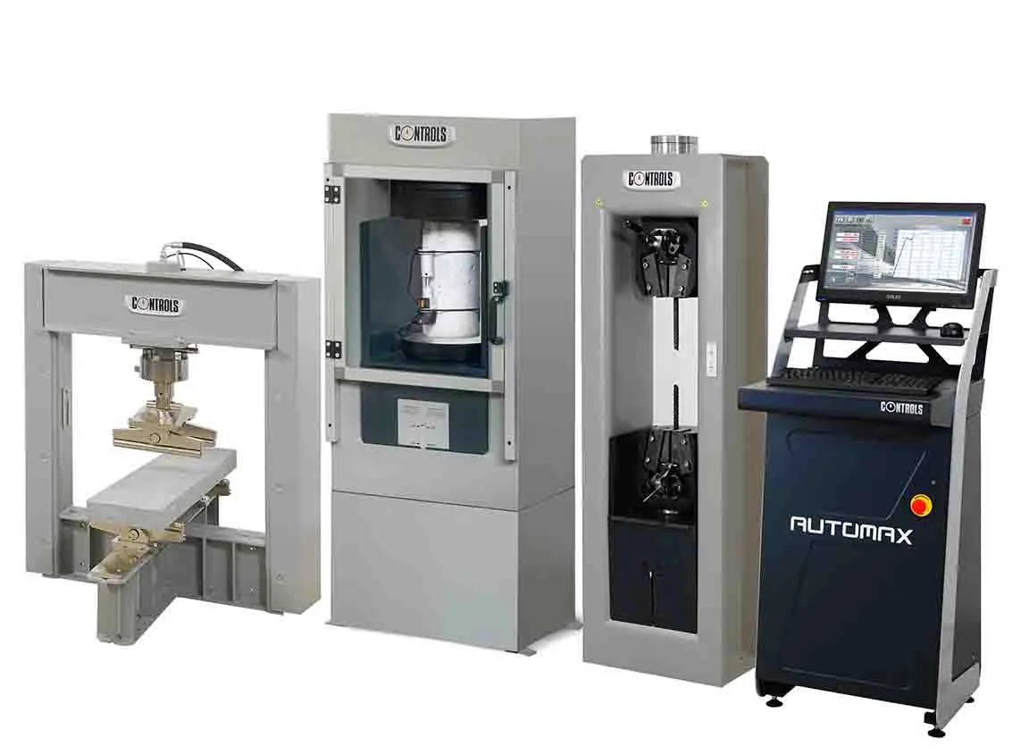
    A look back at some of the developments this year, and a look ahead to what may come next reveals the increasing use of materials testing. New technology and new ways to process and analyse data will drive change even further - Kristina Smith reports For materials testing equipment manufacturers, constant change is business as usual. New tests emerge, new standards are written and new practices spread around regions and the world. There are also new materials to deal with: bitumen modified with polymers