Mapping effectively with vehicle-based imaging

Yotta is offering an innovative vehicle-based imaging service that will provide accurate high-resolution panoramic street-level views of highway features. The vehicle is equipped with a 60 megapixel panoramic camera developed by Yotta and uses Applanix satellite positioning technology to log the exact location of each image. The vehicle cam improves street-level mapping operations with accurate 3D images of buildings and other highway features, such as signs, trees, barriers and fences. Called Y360, the veh
July 23, 2012 Read time: 2 mins
5153 Yotta DCL is offering an innovative vehicle-based imaging service that will provide accurate high-resolution panoramic street-level views of highway features. The vehicle is equipped with a 60 megapixel panoramic camera developed by Yotta and uses Applanix satellite positioning technology to log the exact location of each image. The vehicle cam improves street-level mapping operations with accurate 3D images of buildings and other highway features, such as signs, trees, barriers and fences. Called Y360, the vehicle's digital camera captures images every 2m, with the position calculated by combining GPS, inertial and optical tracking systems. These images are processed by Yotta software that gives the precise position and detailed information for each feature captured by the camera. According to the firm, Y360 offers a huge step forward in technology. The vehicle is being used for an array of applications including highway asset collection for local authorities, highways agencies and their contractors, and 3D mapping for utility companies.

For more information on companies in this article

Related Content

  • Michael Baker receives authority to fly unmanned aerial systems
    August 17, 2015
    US-based engineering firm Michael Baker International has received certification from the Federal Aviation Administration to operate several types of fixed-wing and vertical take-off and landing unmanned aircraft systems. The company said its UAS can capture robust, real-time aerial photographs and video as well as conduct aerial mapping for surveys or site inspections. "Integrating our FAA-certified unmanned aircraft program with our other advanced data collection capabilities allows us to take data
  • Dynapac’s high capacity asphalt paver
    September 30, 2013
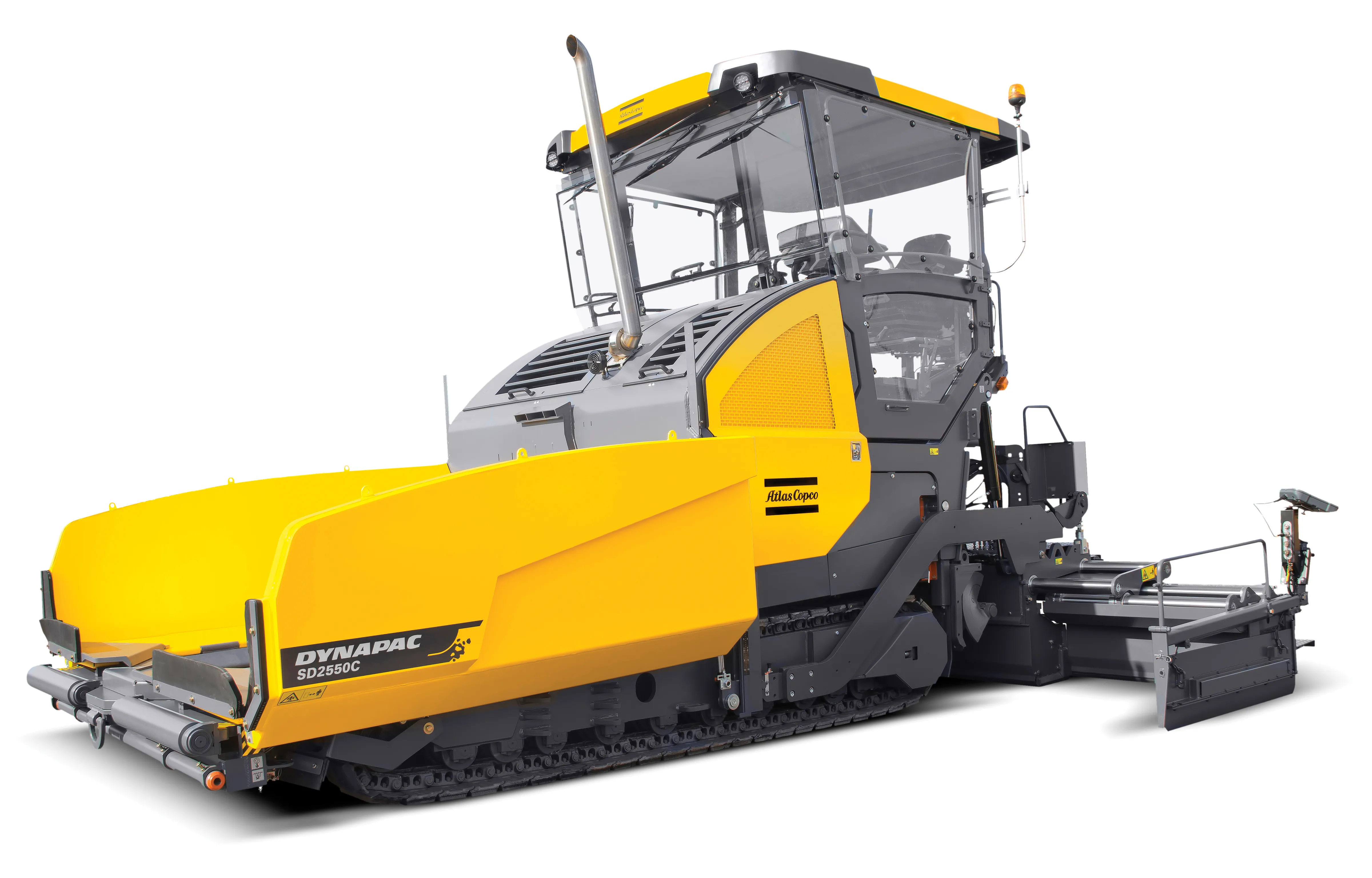
    Dynapac is now offering the SD2550CS tracked paver, which is said to deliver high productivity and efficiency at a low cost/tonne. The machine is also fitted with Dynapac’s latest intelligent Pave Manager 2.0 control system, further boosting mat quality. The company says that the paver has benefited from an intensive research and development programme and the R&D team has worked hard to improve a number of features on the new paver, which now has an improved operator work station and controls systems, lo
  • Sophisticated plotting
    February 7, 2012
    Leica Geosystems is offering its improved SpiderWeb v4.0 package as part of the new reference station software update. This improved suite of solutions also includes the GNSS Spider v4.0 and SpiderQC v4.0 packages.
  • Smarter compaction equipment from key manufacturers
    June 23, 2015
    Intelligent compaction technologies continue to advance in sophistication - Mike Woof writes Ever more sophisticated intelligent compaction technologies are being offered to customers, which can boost working efficiency and help improve construction quality. This is particularly the case for the compaction of asphalt running surfaces. Asphalt cooling leaves only a short time window during which a paved mat can be properly compacted, so intelligent compaction systems offer major gains for contractors and cli