Mapping effectively with vehicle-based imaging

Yotta is offering an innovative vehicle-based imaging service that will provide accurate high-resolution panoramic street-level views of highway features. The vehicle is equipped with a 60 megapixel panoramic camera developed by Yotta and uses Applanix satellite positioning technology to log the exact location of each image. The vehicle cam improves street-level mapping operations with accurate 3D images of buildings and other highway features, such as signs, trees, barriers and fences. Called Y360, the veh
July 23, 2012 Read time: 2 mins
5153 Yotta DCL is offering an innovative vehicle-based imaging service that will provide accurate high-resolution panoramic street-level views of highway features. The vehicle is equipped with a 60 megapixel panoramic camera developed by Yotta and uses Applanix satellite positioning technology to log the exact location of each image. The vehicle cam improves street-level mapping operations with accurate 3D images of buildings and other highway features, such as signs, trees, barriers and fences. Called Y360, the vehicle's digital camera captures images every 2m, with the position calculated by combining GPS, inertial and optical tracking systems. These images are processed by Yotta software that gives the precise position and detailed information for each feature captured by the camera. According to the firm, Y360 offers a huge step forward in technology. The vehicle is being used for an array of applications including highway asset collection for local authorities, highways agencies and their contractors, and 3D mapping for utility companies.

For more information on companies in this article

Related Content

  • Advanced vehicle monitoring technology
    February 15, 2012
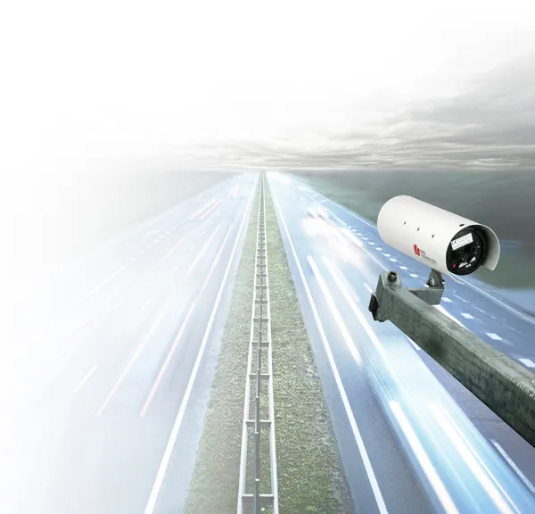
    PIPS Technology has commissioned two Journey Time Measurement Systems (JTMS) in Gravesend and Tunbridge Wells for Kent Highway Services (KHS) in the UK. The JTMS locations consist of 34 Automatic Number Plate Recognition (ANPR) cameras and JTMS software all provided by PIPS Technology.
  • Sophisticated machine telematics packages offered
    September 27, 2013
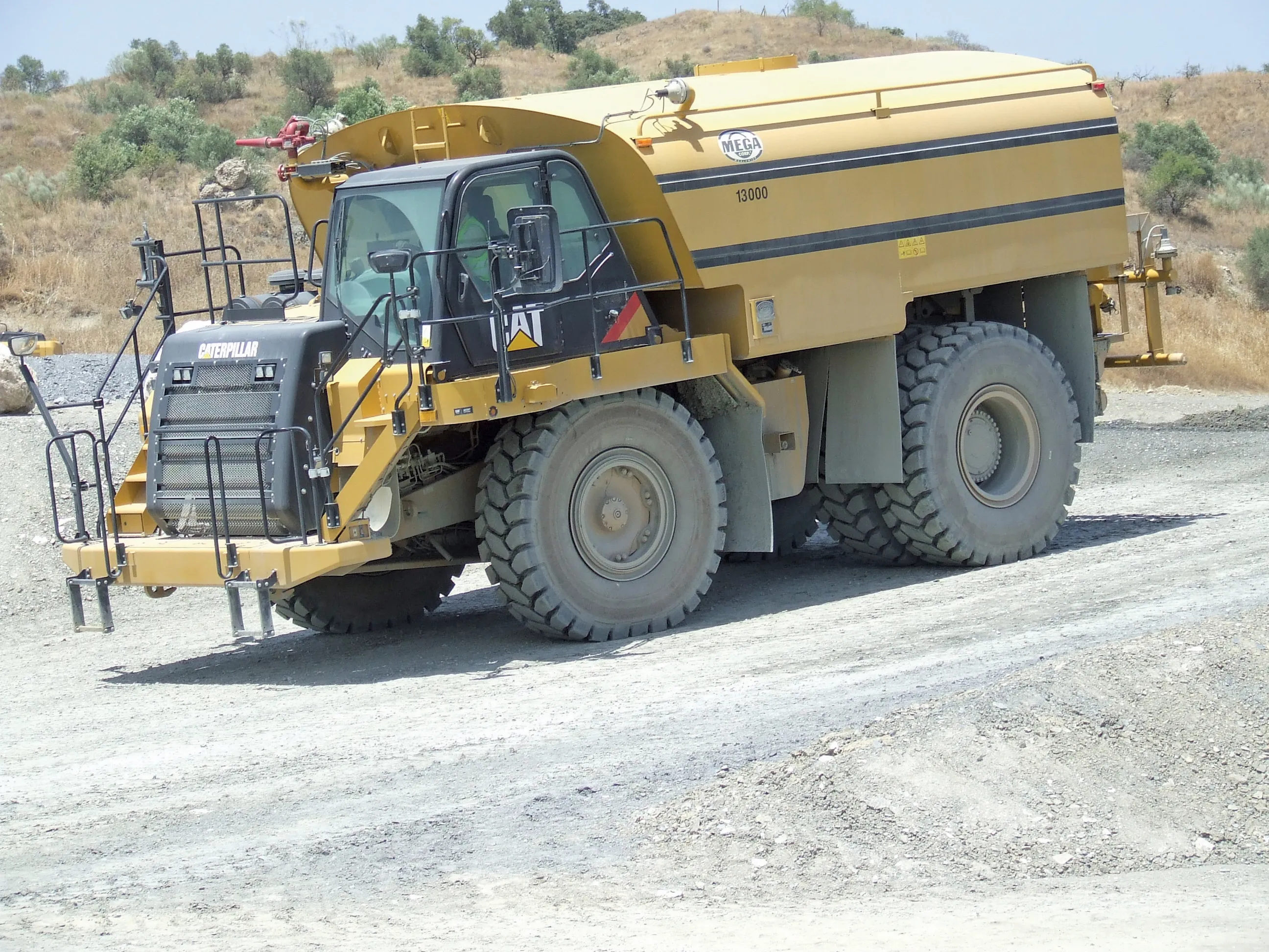
    Several of the major equipment manufacturers now offer sophisticated telematics packages fitted as standard to their machines. Caterpillar and Komatsu were amongst the leaders in this field, allowing a high level of access to a machine's systems and sub-systems for performance monitoring, maintenance management and geofencing purposes for example. To the customer this offers the chance to address fleet running costs and utilisation, reduce the risk of theft and increase overall efficiency. Customers can eve
  • Innovations are pushing boundaries in the concrete road paving sector
    February 18, 2013
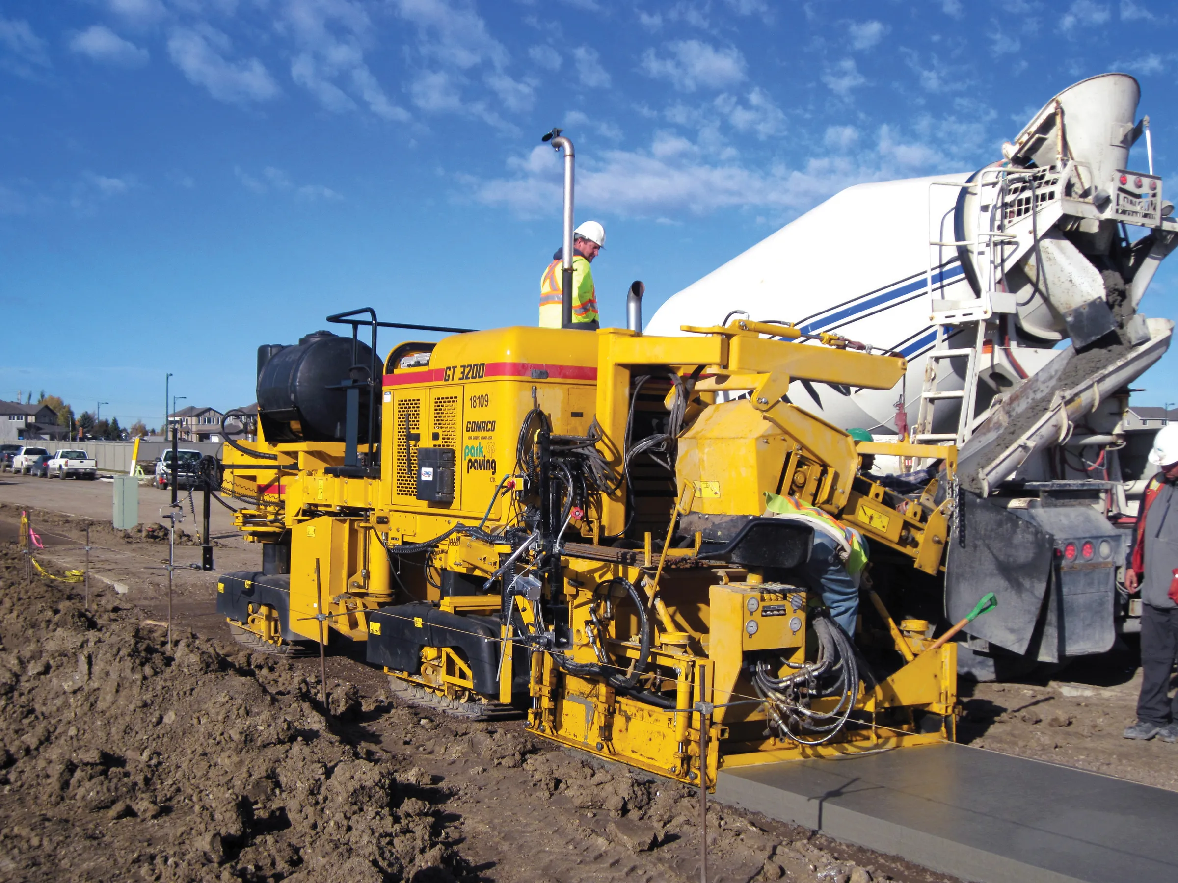
    The concrete road paving market continues to develop - Mike Woof reports Concrete road paving technology continues to evolve, with new equipment and techniques coming to market. Although concrete road construction has been used for many years, problems with early generation technologies affected this market segment. The first concrete roads were constructed in sections, which led to problems at joints but these were addressed many years ago with the advent of slipform paving. Concrete roads constructed in t
  • Efficient truck loading to optimise operations
    December 15, 2017
    Accurate technology has been utilised to measure the loads carried by dump trucks on a project in Russia. Specialist supplier LASE commissioned the LaseTVM tool on a road construction site for contractor EuroTransStroy at a construction site in St Petersburg, Russia. The laser-based measurement system is able to determine the volume of bulk materials such as sand and crushed stones with high accuracy. This can be used to prevent differences in loads from one truck to another, so as to ensure consistency.