Mapping effectively with vehicle-based imaging

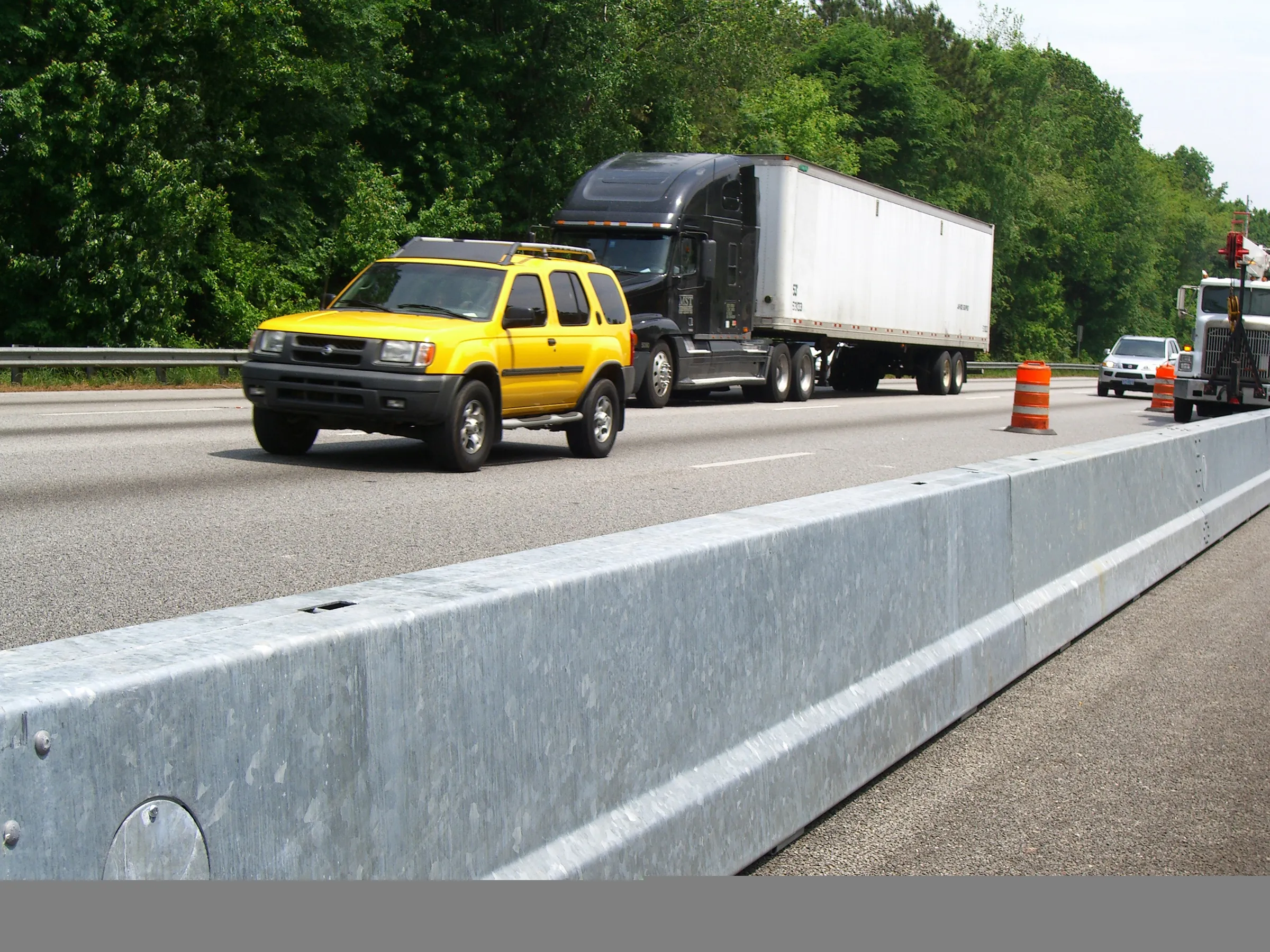
Yotta is offering an innovative vehicle-based imaging service that will provide accurate high-resolution panoramic street-level views of highway features. The vehicle is equipped with a 60 megapixel panoramic camera developed by Yotta and uses Applanix satellite positioning technology to log the exact location of each image. The vehicle cam improves street-level mapping operations with accurate 3D images of buildings and other highway features, such as signs, trees, barriers and fences. Called Y360, the veh
July 23, 2012 Read time: 2 mins
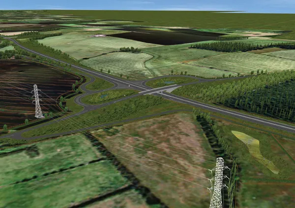
5153 Yotta DCL is offering an innovative vehicle-based imaging service that will provide accurate high-resolution panoramic street-level views of highway features. The vehicle is equipped with a 60 megapixel panoramic camera developed by Yotta and uses Applanix satellite positioning technology to log the exact location of each image. The vehicle cam improves street-level mapping operations with accurate 3D images of buildings and other highway features, such as signs, trees, barriers and fences. Called Y360, the vehicle's digital camera captures images every 2m, with the position calculated by combining GPS, inertial and optical tracking systems. These images are processed by Yotta software that gives the precise position and detailed information for each feature captured by the camera. According to the firm, Y360 offers a huge step forward in technology. The vehicle is being used for an array of applications including highway asset collection for local authorities, highways agencies and their contractors, and 3D mapping for utility companies.

For more information on companies in this article

Related Content

  • Safer highway containment continues to grow
    March 8, 2012
    A steady flow of new technology and systems is ensuring the highway barrier sector is seeing major gains in safety. Mike Woof reports A combination of technological development and tougher regulations are ensuring a constant flow of new safety barrier solutions for the highway sector. Issues such as containment and deflection are high on the technical agenda, while a wide array of technologies is being developed to meet specific needs for certain applications. Both in the US and Europe, an increased focus o
  • Smart constructioon with GIS, GPS design technology
    February 16, 2012
    A UK highway project has benefited from the latest software, GIS and GPS technology, Mike Woof reports. Sophisticated software, GIS and GPS technology has played an important role in a large highway upgrade project in the UK and helping to increase efficiency and drive down construction costs.
  • Innovative traffic information technology used in Vancouver
    April 12, 2012
    As the world descended on Vancouver for the 2010 Winter Olympics, visitors were able to travel around the city with confidence and intelligence thanks to a landmark project by IRF Member, Delcan
  • Innovations in concrete paving technology
    March 16, 2012
    Paving with concrete offers a strong and long life base for a roadway, with manufacturers continuing to develop technologies – Mike Woof reports. Innovation comes fast in the concrete paving market with a number of specialist suppliers offering an array of solutions to meet the needs of slipforming contractors. These machines can be used for a range of applications from large-scale airport runway or highway construction duties, tunnel jobs, bridge decks, barriers, traffic islands and kerbs. Because the app