Mapping effectively with vehicle-based imaging

Yotta is offering an innovative vehicle-based imaging service that will provide accurate high-resolution panoramic street-level views of highway features. The vehicle is equipped with a 60 megapixel panoramic camera developed by Yotta and uses Applanix satellite positioning technology to log the exact location of each image. The vehicle cam improves street-level mapping operations with accurate 3D images of buildings and other highway features, such as signs, trees, barriers and fences. Called Y360, the veh
July 23, 2012 Read time: 2 mins
5153 Yotta DCL is offering an innovative vehicle-based imaging service that will provide accurate high-resolution panoramic street-level views of highway features. The vehicle is equipped with a 60 megapixel panoramic camera developed by Yotta and uses Applanix satellite positioning technology to log the exact location of each image. The vehicle cam improves street-level mapping operations with accurate 3D images of buildings and other highway features, such as signs, trees, barriers and fences. Called Y360, the vehicle's digital camera captures images every 2m, with the position calculated by combining GPS, inertial and optical tracking systems. These images are processed by Yotta software that gives the precise position and detailed information for each feature captured by the camera. According to the firm, Y360 offers a huge step forward in technology. The vehicle is being used for an array of applications including highway asset collection for local authorities, highways agencies and their contractors, and 3D mapping for utility companies.

For more information on companies in this article

Related Content

  • Yotta expands its Horizons software deal with Amey internationally
    February 6, 2017
    Software technology company Yotta has announced a five-year extension to its contract with Amey, a UK public and regulated services provider The extension, valued at more than €1.3 million, allows Amey to roll out licences for Yotta’s visualised asset management solution Horizons to subscribers in Australia, New Zealand and Spain in addition to those based in the UK. The service and maintenance provider will also be able to use Horizons in an additional six end-customers. Horizons is a visualised Softwar
  • Efficient truck loading to optimise operations
    September 14, 2017
    Specialist supplier LASE commissioned the LaseTVM tool on a road construction site for contractor EuroTransStroy at a construction site in St Petersburg, Russia. The laser-based measurement system is able to determine the volume of bulk materials such as sand and crushed stones with high accuracy. This can be used to prevent differences in loads from one truck to another, so as to ensure consistency. The system also identifies truck license plates and the load area, providing comprehensive data collation.
  • The era of workzone data
    July 4, 2018
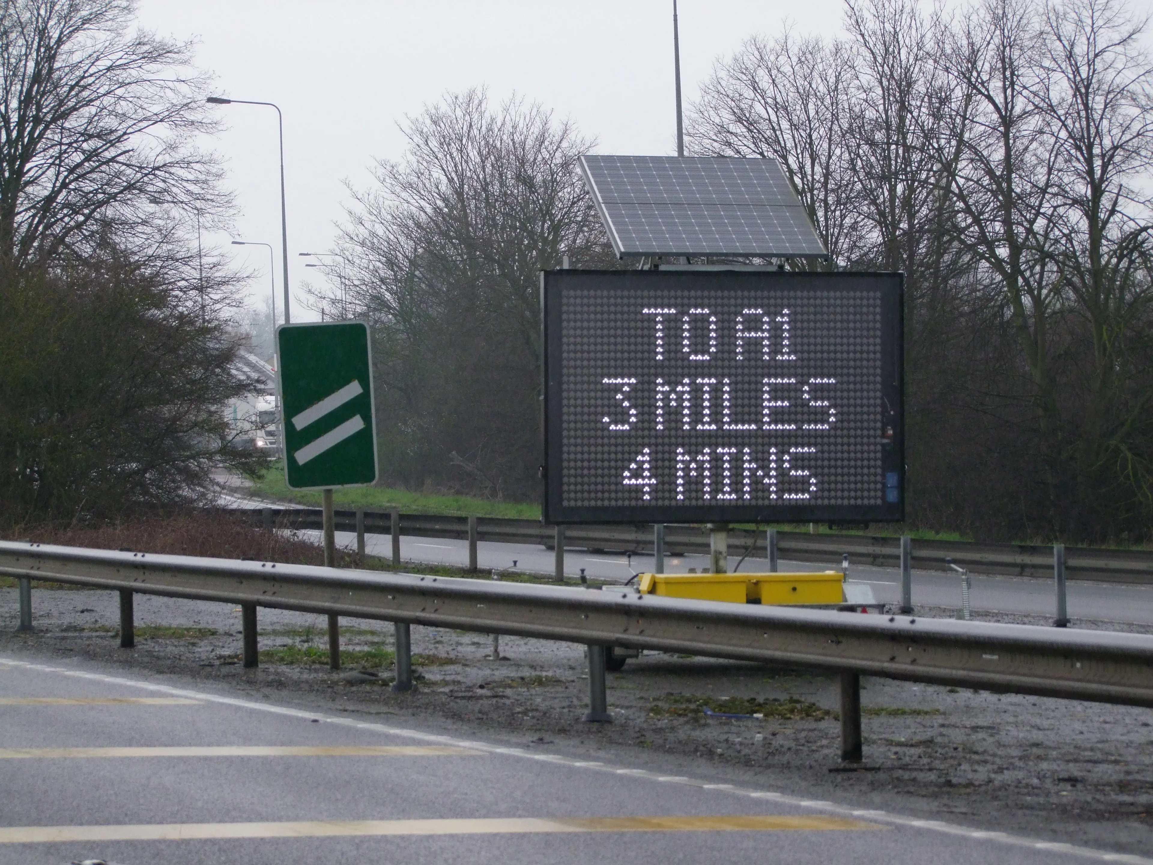
    Portable work zone messaging is now integral - not an add-on - when it comes to safety on large-scale highway projects. Andrew Williams* reports. Portable work zone ITS solutions have emerged in recent years as important flexible tools for managing major roadwork projects, from new-build to upgrades. They effectively ensure traffic disruption is kept to a minimum and lives can be saved. As such, the technology forms a central component of a major €1.7 billion project in the southern English county of Cambr
  • Reality check: Topcon’s Aptix
    July 20, 2023
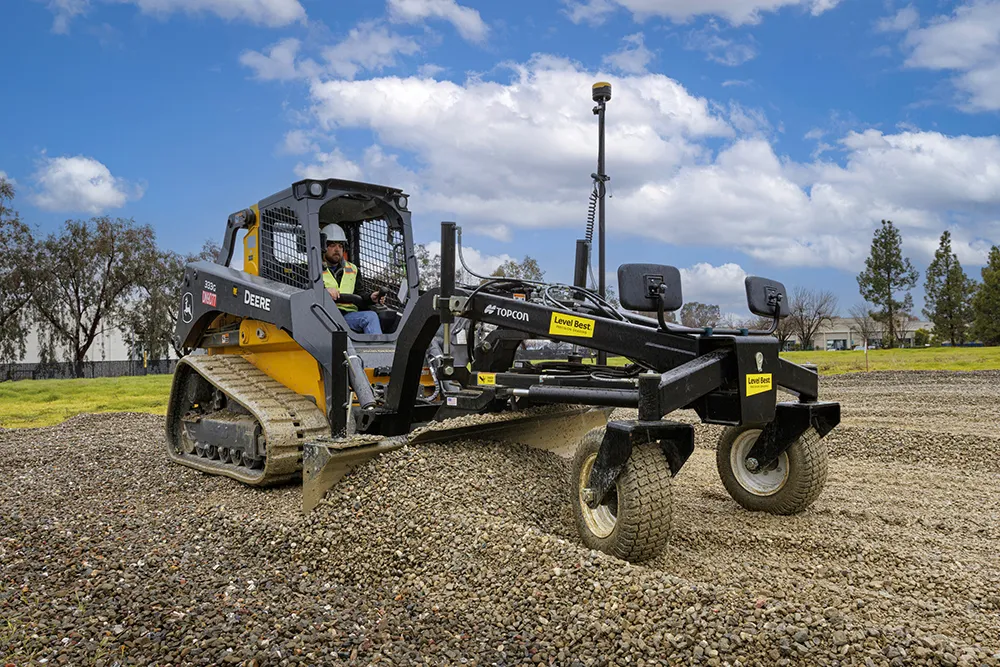
    The biggest challenge facing construction professionals and general contractors is disconnected data and/or siloed data sources. The recently launched Aptix integration platform has broken down these silos, explains Topcon’s Scott Langbein.