Mapping effectively with vehicle-based imaging

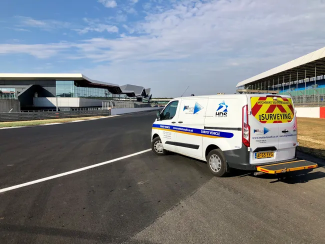
Yotta is offering an innovative vehicle-based imaging service that will provide accurate high-resolution panoramic street-level views of highway features. The vehicle is equipped with a 60 megapixel panoramic camera developed by Yotta and uses Applanix satellite positioning technology to log the exact location of each image. The vehicle cam improves street-level mapping operations with accurate 3D images of buildings and other highway features, such as signs, trees, barriers and fences. Called Y360, the veh
July 23, 2012 Read time: 2 mins
5153 Yotta DCL is offering an innovative vehicle-based imaging service that will provide accurate high-resolution panoramic street-level views of highway features. The vehicle is equipped with a 60 megapixel panoramic camera developed by Yotta and uses Applanix satellite positioning technology to log the exact location of each image. The vehicle cam improves street-level mapping operations with accurate 3D images of buildings and other highway features, such as signs, trees, barriers and fences. Called Y360, the vehicle's digital camera captures images every 2m, with the position calculated by combining GPS, inertial and optical tracking systems. These images are processed by Yotta software that gives the precise position and detailed information for each feature captured by the camera. According to the firm, Y360 offers a huge step forward in technology. The vehicle is being used for an array of applications including highway asset collection for local authorities, highways agencies and their contractors, and 3D mapping for utility companies.

For more information on companies in this article

Related Content

  • Automated testing is safer, cheaper and more thorough
    December 12, 2018
    Automated testing is improving safety during paving and saving on testing costs. But it could also help reduce long-term maintenance costs too - Kristina Smith writes Testing pavements as they are laid can be a hazardous activity. The technician may be on their hands and knees, far behind the main gang, or reaching inside the hopper to measure the temperature of the hot mix or dodging rollers to take density readings.
  • Tough competition in concrete paving market
    February 13, 2012
    One thing is clear in the concrete slipforming sector. This comparatively niche market for equipment is rapidly becoming a good deal more competitive as key manufacturers jostle for position.
  • Florida gets one.network closure
    November 14, 2022
    Road crews in the US state of Florida can now post lane closure information to GPS providers from their mobile phones while working on site
  • GPS machine control systems reduce survey time
    February 14, 2012
    Innovative uses are being made of GPS technology, Mike Woof reports. US firms Creighton Manning Engineering and Delaney Construction have made a novel use of GPS technology in a project for the Route 85 Slingerlands bypass extension in the US.