Mapping effectively with vehicle-based imaging

Yotta is offering an innovative vehicle-based imaging service that will provide accurate high-resolution panoramic street-level views of highway features. The vehicle is equipped with a 60 megapixel panoramic camera developed by Yotta and uses Applanix satellite positioning technology to log the exact location of each image. The vehicle cam improves street-level mapping operations with accurate 3D images of buildings and other highway features, such as signs, trees, barriers and fences. Called Y360, the veh
July 23, 2012 Read time: 2 mins
5153 Yotta DCL is offering an innovative vehicle-based imaging service that will provide accurate high-resolution panoramic street-level views of highway features. The vehicle is equipped with a 60 megapixel panoramic camera developed by Yotta and uses Applanix satellite positioning technology to log the exact location of each image. The vehicle cam improves street-level mapping operations with accurate 3D images of buildings and other highway features, such as signs, trees, barriers and fences. Called Y360, the vehicle's digital camera captures images every 2m, with the position calculated by combining GPS, inertial and optical tracking systems. These images are processed by Yotta software that gives the precise position and detailed information for each feature captured by the camera. According to the firm, Y360 offers a huge step forward in technology. The vehicle is being used for an array of applications including highway asset collection for local authorities, highways agencies and their contractors, and 3D mapping for utility companies.

For more information on companies in this article

Related Content

  • Smarter vision
    February 10, 2012
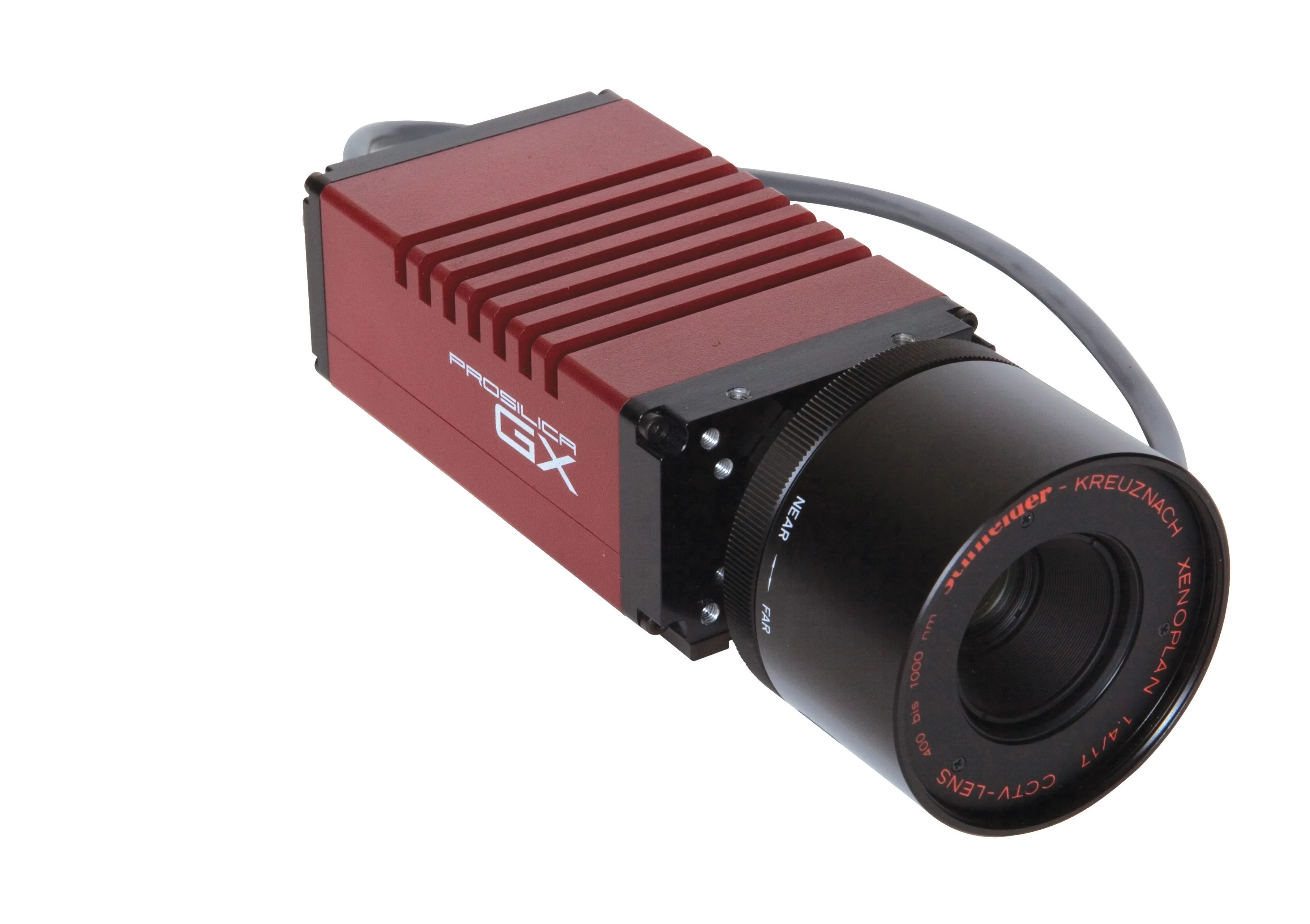
    Allied Vision Technologies says that its new Prosilica GX1920 HD camera offers a high resolution solution for traffic imaging applications.
  • Smarter transport solutions from TomTom
    January 4, 2016
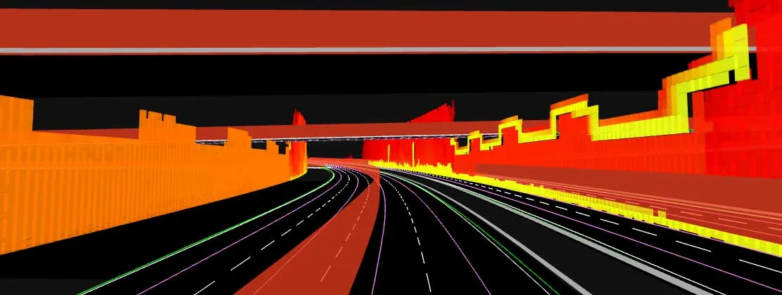
    TomTom is introducing two novel products that help deliver smart traffic solutions, RoadDNA and its HAD map. The Road DNA will help make automated driving a reality, according to the firm. Designed with vehicle data storage and processing limitations in mind, RoadDNA delivers highly accurate location information that can easily be integrated into the onboard system of a vehicle. This allows a vehicle to continuously know exactly where it is located on the road. It offers highly accurate vehicle localisa
  • A virtual virtuous circle
    January 18, 2021
    Virtual sensors will allow a safer driving experience and reduce road maintenance costs. Tactile Mobility’s Eitan Grosbard talks to David Arminas
  • Bentley and Trimble announce modelling cooperation
    January 6, 2015
    In London and Las Vegas, the message was the same. Trimble, a surveying systems and software developer, and Bentley jointly announced they will pool their resources for product development. The announcement by Bentley in London was made at the same time as Trimble who gave details of the collaboration to attendees at its annual conference in Las Vegas, in the US. Trimble, based in Sunnyvale, California, develops positioning technologies, such as GPS, lasers and optics as well as software content specifi