Mapping effectively with vehicle-based imaging

Yotta is offering an innovative vehicle-based imaging service that will provide accurate high-resolution panoramic street-level views of highway features. The vehicle is equipped with a 60 megapixel panoramic camera developed by Yotta and uses Applanix satellite positioning technology to log the exact location of each image. The vehicle cam improves street-level mapping operations with accurate 3D images of buildings and other highway features, such as signs, trees, barriers and fences. Called Y360, the veh
July 23, 2012 Read time: 2 mins
5153 Yotta DCL is offering an innovative vehicle-based imaging service that will provide accurate high-resolution panoramic street-level views of highway features. The vehicle is equipped with a 60 megapixel panoramic camera developed by Yotta and uses Applanix satellite positioning technology to log the exact location of each image. The vehicle cam improves street-level mapping operations with accurate 3D images of buildings and other highway features, such as signs, trees, barriers and fences. Called Y360, the vehicle's digital camera captures images every 2m, with the position calculated by combining GPS, inertial and optical tracking systems. These images are processed by Yotta software that gives the precise position and detailed information for each feature captured by the camera. According to the firm, Y360 offers a huge step forward in technology. The vehicle is being used for an array of applications including highway asset collection for local authorities, highways agencies and their contractors, and 3D mapping for utility companies.

For more information on companies in this article

Related Content

  • More efficient ground stabilisation with the Allu 3D Positioning System
    January 6, 2017
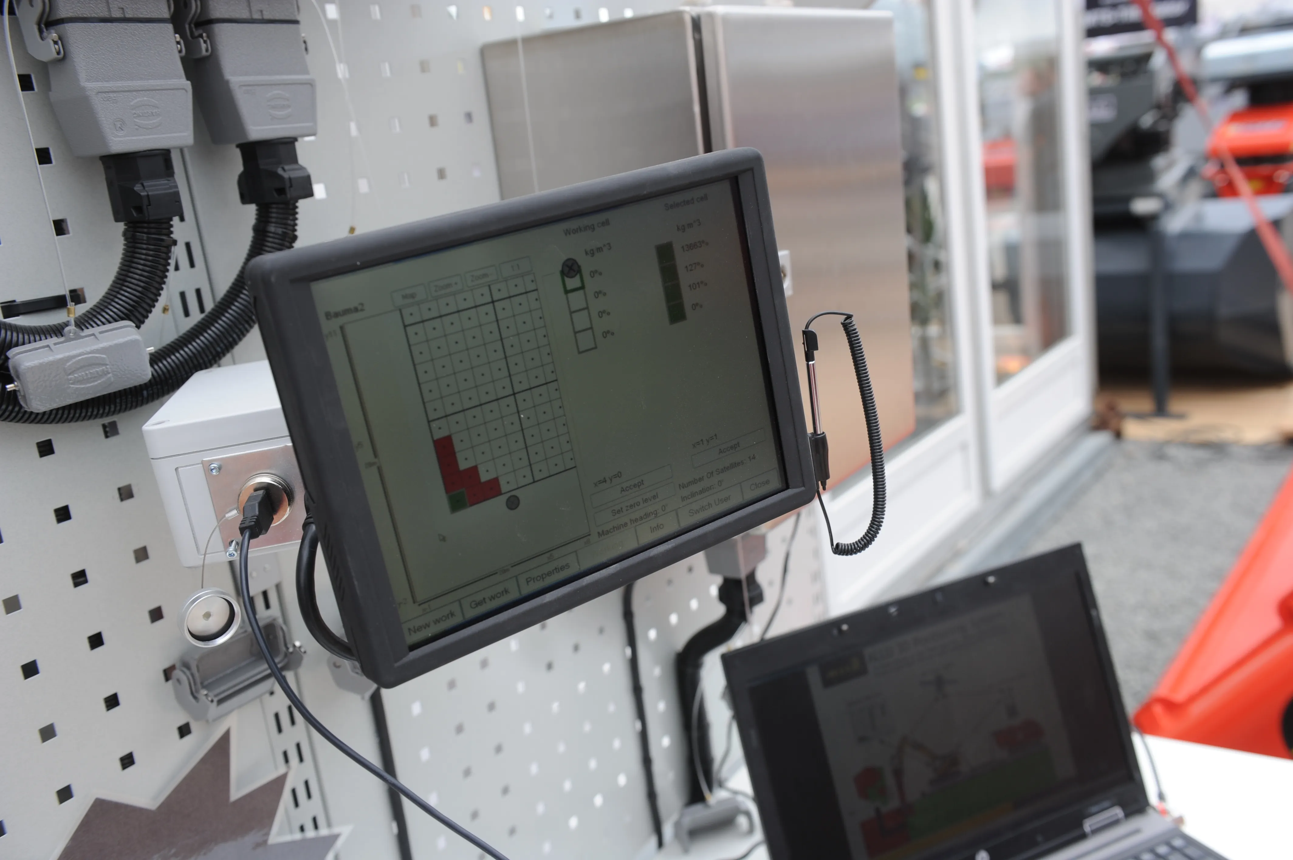
    The Allu 3D Positioning System will make ground stabilisation works more efficient and more cost-effective, according to the Finnish manufacturer. The GPS-guided system works in conjunction with Allu’s PMX mixing head, which is mounted on an excavator. It is made up from four modules – computer unit with software, touch screen, base station and GPS antennas positioned on the mixing unit. Often used in road construction to firm up soft ground, the ground stabilisation process sees the binder material fed in
  • More efficient ground stabilisation with the Allu 3D Positioning System
    April 19, 2013
    The Allu 3D Positioning System will make ground stabilisation works more efficient and more cost-effective, according to the Finnish manufacturer. The GPS-guided system works in conjunction with Allu’s PMX mixing head, which is mounted on an excavator. It is made up from four modules – computer unit with software, touch screen, base station and GPS antennas positioned on the mixing unit. Often used in road construction to firm up soft ground, the ground stabilisation process sees the binder material fed in
  • What lies beneath Down Under
    January 11, 2021
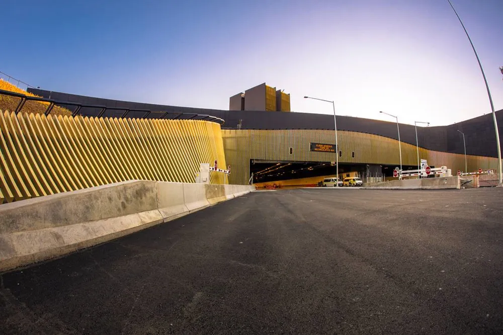
    The third and final construction stage on Sydney’s WestConnex project has begun, including the underground Rozelle Interchange – with a lot of help from Komatsu
  • Effective, efficient long reach excavators
    April 13, 2012
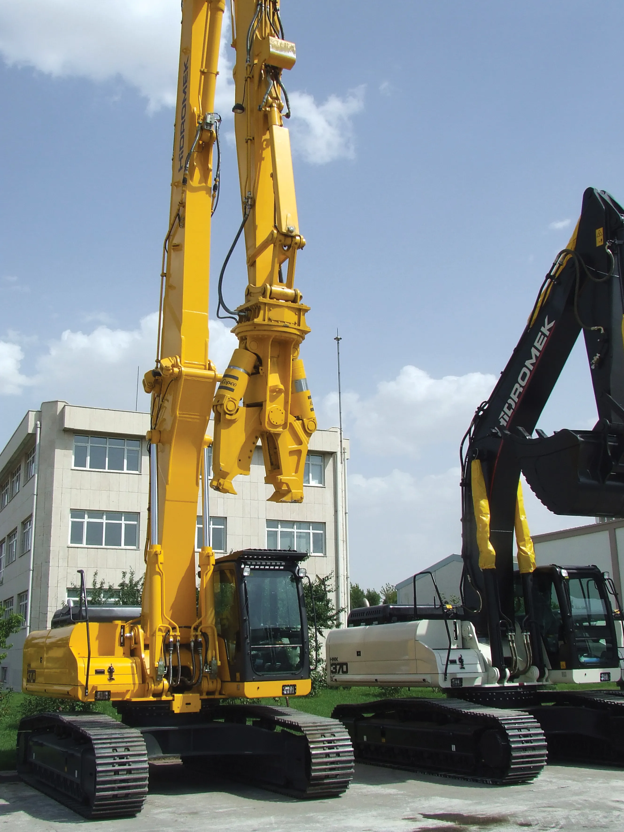
    Long reach excavators now dominate the demolition sector - Mike Woof reports The last 10-15 years have seen the way demolition work is carried out change dramatically. Safety issues have long been of concern in the demolition sector, with the industry having been criticised for not doing enough to protect its workforce. Demolition projects can be dangerous due to the very nature of the job, with old structures being knocked down and broken up on-site. There is a substantial risk to site workers from