Mapping effectively with vehicle-based imaging

Yotta is offering an innovative vehicle-based imaging service that will provide accurate high-resolution panoramic street-level views of highway features. The vehicle is equipped with a 60 megapixel panoramic camera developed by Yotta and uses Applanix satellite positioning technology to log the exact location of each image. The vehicle cam improves street-level mapping operations with accurate 3D images of buildings and other highway features, such as signs, trees, barriers and fences. Called Y360, the veh
July 23, 2012 Read time: 2 mins
5153 Yotta DCL is offering an innovative vehicle-based imaging service that will provide accurate high-resolution panoramic street-level views of highway features. The vehicle is equipped with a 60 megapixel panoramic camera developed by Yotta and uses Applanix satellite positioning technology to log the exact location of each image. The vehicle cam improves street-level mapping operations with accurate 3D images of buildings and other highway features, such as signs, trees, barriers and fences. Called Y360, the vehicle's digital camera captures images every 2m, with the position calculated by combining GPS, inertial and optical tracking systems. These images are processed by Yotta software that gives the precise position and detailed information for each feature captured by the camera. According to the firm, Y360 offers a huge step forward in technology. The vehicle is being used for an array of applications including highway asset collection for local authorities, highways agencies and their contractors, and 3D mapping for utility companies.

For more information on companies in this article

Related Content

  • New project software developed by Bentley
    February 8, 2018
    Bentley Systems claims that its OpenRoads ConceptStation modelling package allows highway engineering professionals to quickly build conceptual road and bridge models. The software allows rapid conceptual and preliminary design, using information obtained through point clouds, reality meshes, GIS, and other sources. OpenRoads ConceptStation combines engineering drawing tools and project costs to improve decision-making in the design phase. Benefits include increasing design productivity, identifying
  • Caterpillar offers improved backhoe loader range
    April 10, 2015
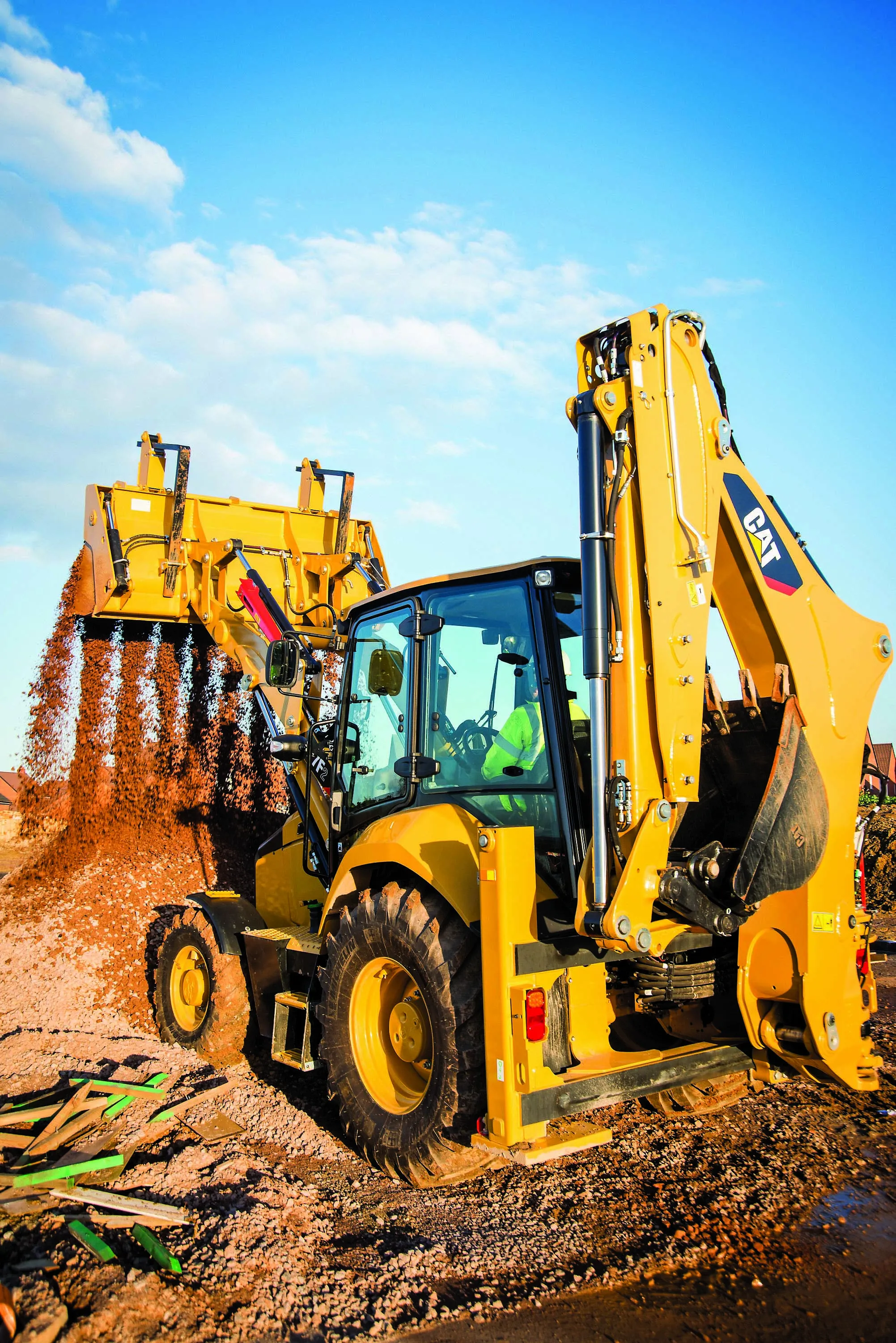
    Caterpillar aims to capture new customers with its latest generation of backhoe loaders. Versatile, durable, productive, reliable and highly mobile, these machines can be used with a wide array of attachments and tools to handle an even wider range of tasks on construction sites. The new F2-Series machines, 427F2, 428F2, 432F2, 434F2, and 444F2, take over from the proven F-Series. These revamped models feature an all-new cab as well as the latest low emission, low noise engine technology. These more effi
  • Efficient, accurate asphalt compaction technology
    February 14, 2012
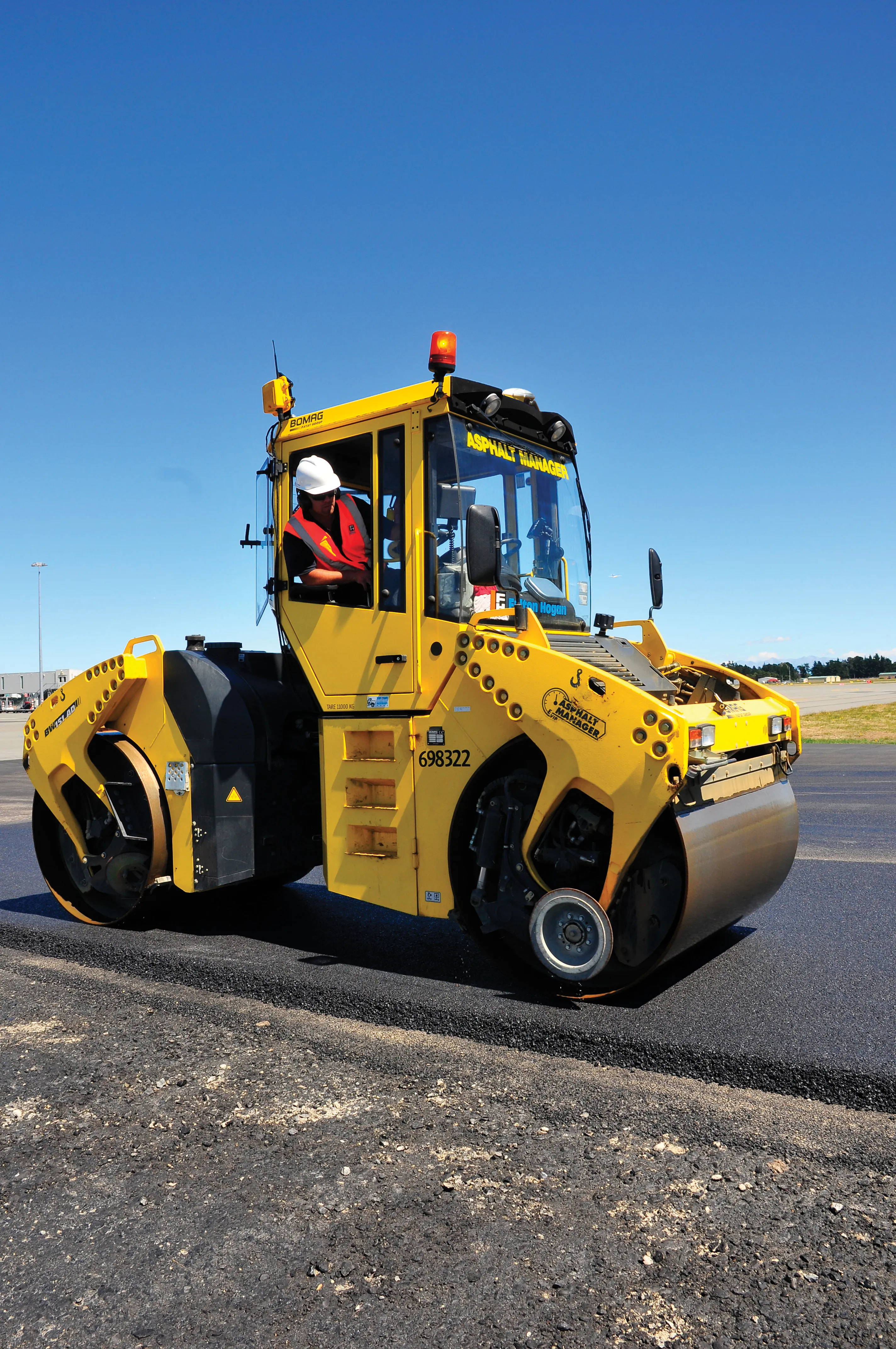
    The efficiency of asphalt compaction performance has improved immeasurably in recent years with the development of more effective equipment. Manufacturers have honed the designs of the machines, making them easier and more comfortable to operate, improving visibility and also tackling issues such as maintenance downtime by making the equipment more reliable and quicker to service. However one of the biggest advances in compaction performance has come not from the machines, but from the control and measur
  • Debating infrastructure funding solutions
    March 21, 2012
    With funding of road, bridge, tunnel and highway infrastructure a topic of debate in many developed and developing nations at present, different solutions are in the frame for discussion. Funding highway construction and maintenance through taxation is falling out of favour in many countries, simply because the costs of meeting transport infrastructure needs are so vast.