Mapping effectively with vehicle-based imaging

Yotta is offering an innovative vehicle-based imaging service that will provide accurate high-resolution panoramic street-level views of highway features. The vehicle is equipped with a 60 megapixel panoramic camera developed by Yotta and uses Applanix satellite positioning technology to log the exact location of each image. The vehicle cam improves street-level mapping operations with accurate 3D images of buildings and other highway features, such as signs, trees, barriers and fences. Called Y360, the veh
July 23, 2012 Read time: 2 mins
5153 Yotta DCL is offering an innovative vehicle-based imaging service that will provide accurate high-resolution panoramic street-level views of highway features. The vehicle is equipped with a 60 megapixel panoramic camera developed by Yotta and uses Applanix satellite positioning technology to log the exact location of each image. The vehicle cam improves street-level mapping operations with accurate 3D images of buildings and other highway features, such as signs, trees, barriers and fences. Called Y360, the vehicle's digital camera captures images every 2m, with the position calculated by combining GPS, inertial and optical tracking systems. These images are processed by Yotta software that gives the precise position and detailed information for each feature captured by the camera. According to the firm, Y360 offers a huge step forward in technology. The vehicle is being used for an array of applications including highway asset collection for local authorities, highways agencies and their contractors, and 3D mapping for utility companies.

For more information on companies in this article

Related Content

  • New concrete testing technologies improve speed, safety and quality
    July 8, 2016
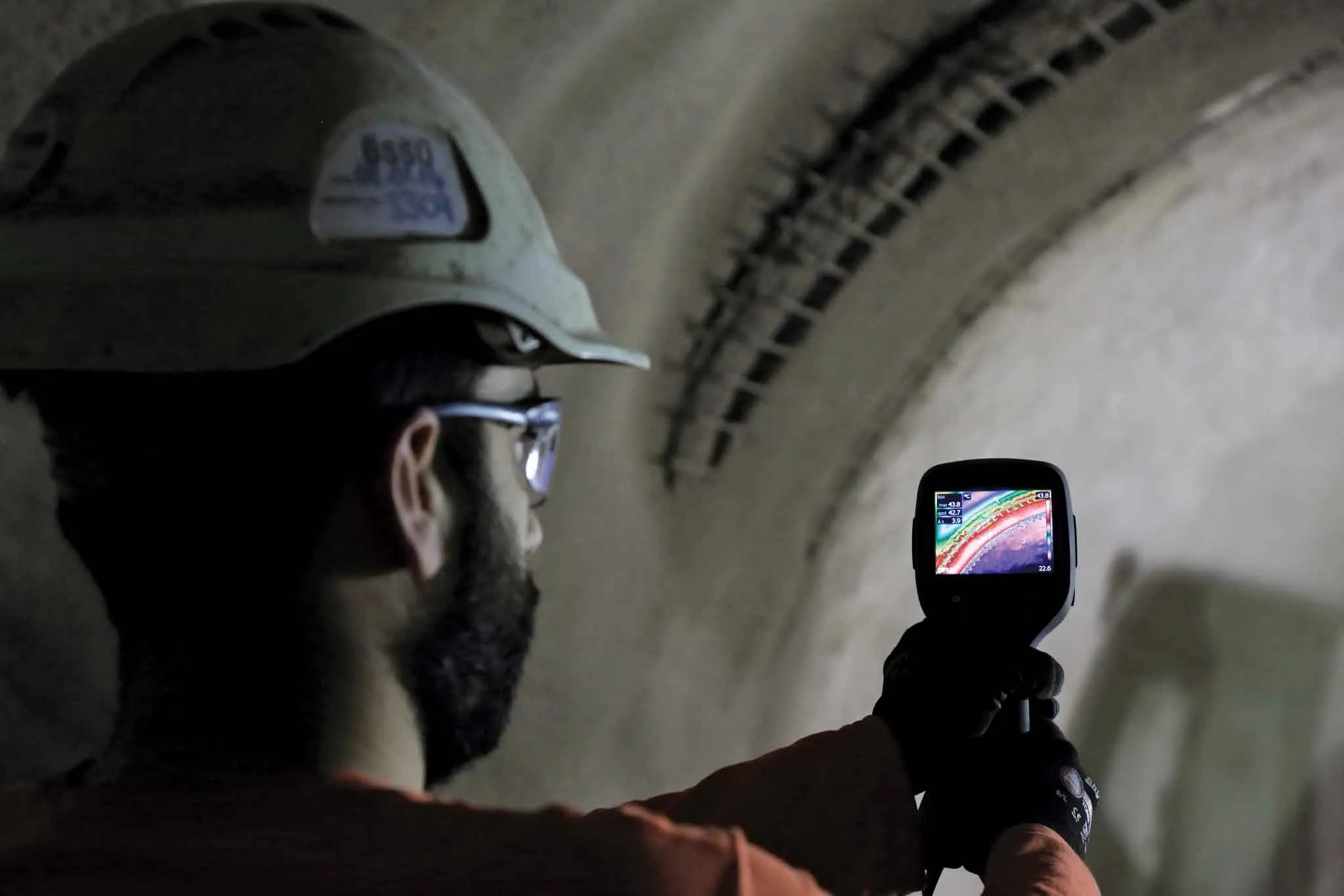
    Developments in data processing and management are revolutionising the way concrete strengths can be measured and used to improve efficiencies - Kristina Smith reports on two new technologies A new system that uses thermal imaging to measure the strength of sprayed concrete tunnel linings is being trialled for the first time in London. The brainchild of Dr Benoit Jones, managing director of Inbye Engineering, the technique could lead to improvements in safety, quality and – in the longer run – productivi
  • Smart road test facility in Virginia
    July 28, 2015
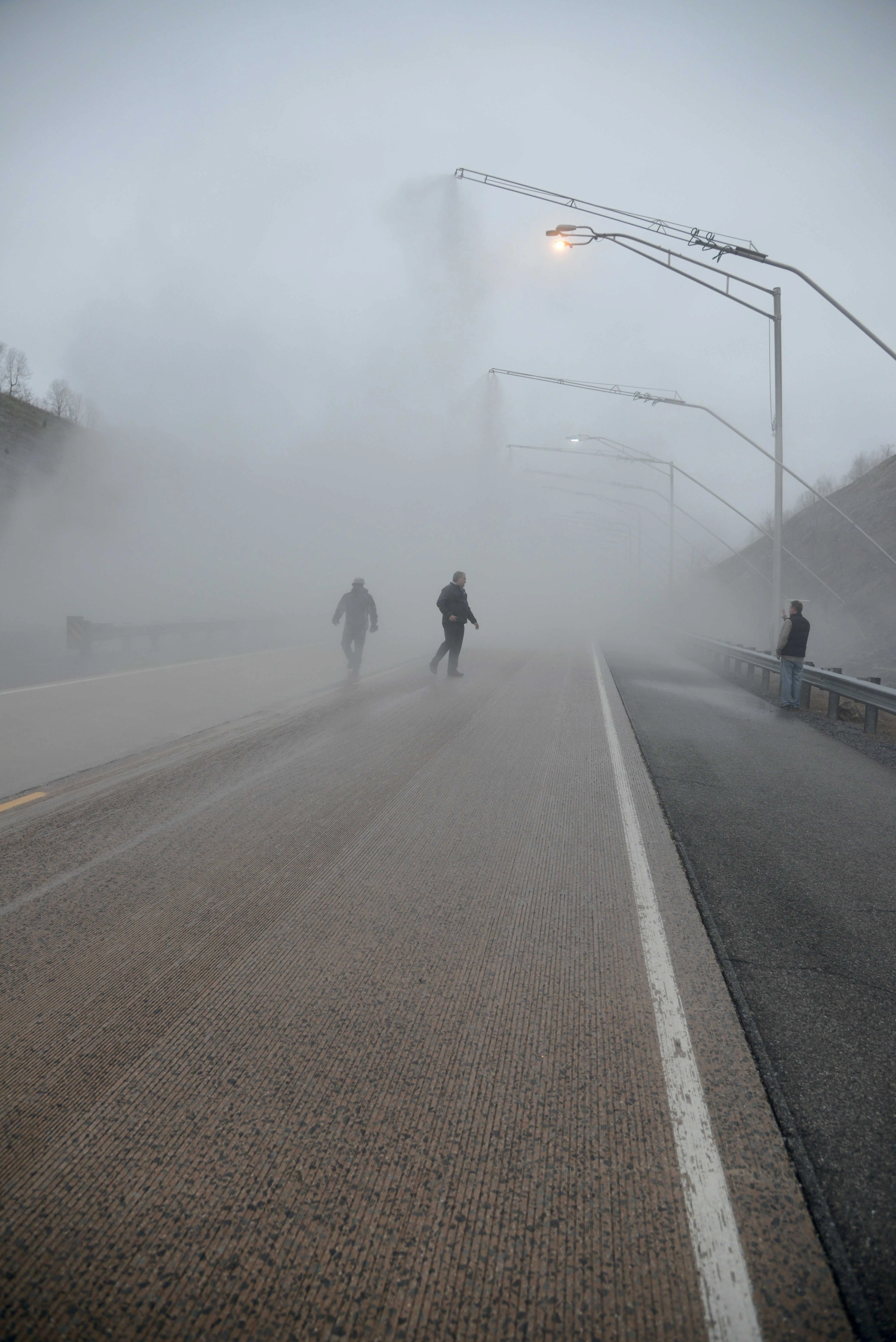
    A test stretch of road in the US is playing a valuable role in developing technology and boosting traffic safety -*Tom Gibson writes Located a short distance from the Virginia Tech campus in the mountains of rural southwest Virginia in the mid-Atlantic region of United States, the Virginia Smart Road looks like a conventional road. But venturing to either end of the 3.5km-long thoroughfare reveals that it actually goes nowhere, at least for now. The result of a plan conceived back in the 1980s, the Vi
  • Profiling software assesses driver risk factors
    February 9, 2012
    The UK's Royal Society for the Prevention of Accidents (RoSPA) is now offering an updated version of its Driver Profiler package. Called Driver Profiler 20:20, this package is designed to assess whether a driver is a low, medium or high-risk by measuring psychometric, demographic and behavioural factors that influence safety. Using the package allows firms to identify drivers in need of further training and make informed decisions as to what is required. The system makes it possible to target specific train
  • Noise mapping software from SoundPLAN
    October 27, 2016
    Software specialist SoundPLAN is now offering the latest version of its sophisticated noise-mapping package worldwide. The 4.0 package has been trialled in Germany and can be used to calculate the noise emissions from roads and other infrastructure such as railways. The package is said to be designed for users who only have an occasional requirement for a noise map. The firm says that the software can be used to deliver reliable tabular and graphical results for a standard noise calculation while requir