Mapping effectively with vehicle-based imaging

Yotta is offering an innovative vehicle-based imaging service that will provide accurate high-resolution panoramic street-level views of highway features. The vehicle is equipped with a 60 megapixel panoramic camera developed by Yotta and uses Applanix satellite positioning technology to log the exact location of each image. The vehicle cam improves street-level mapping operations with accurate 3D images of buildings and other highway features, such as signs, trees, barriers and fences. Called Y360, the veh
July 23, 2012 Read time: 2 mins
5153 Yotta DCL is offering an innovative vehicle-based imaging service that will provide accurate high-resolution panoramic street-level views of highway features. The vehicle is equipped with a 60 megapixel panoramic camera developed by Yotta and uses Applanix satellite positioning technology to log the exact location of each image. The vehicle cam improves street-level mapping operations with accurate 3D images of buildings and other highway features, such as signs, trees, barriers and fences. Called Y360, the vehicle's digital camera captures images every 2m, with the position calculated by combining GPS, inertial and optical tracking systems. These images are processed by Yotta software that gives the precise position and detailed information for each feature captured by the camera. According to the firm, Y360 offers a huge step forward in technology. The vehicle is being used for an array of applications including highway asset collection for local authorities, highways agencies and their contractors, and 3D mapping for utility companies.

For more information on companies in this article

Related Content

  • Skid steer loader - more versatile than a jack of all trades
    February 17, 2012
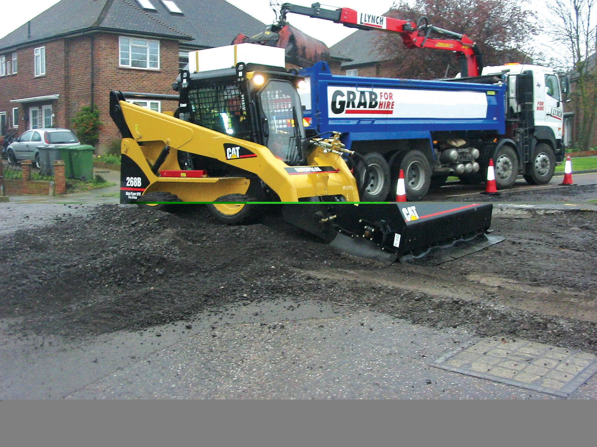
    The skid steer loader has for many years been known as a jack-of-all-trades. Indeed the term loader can be a bit misleading, as a skid steer is far more than simply a digging or lifting machine. Skid steers, and their more recent compact tracked loader stablemates, are the original powered tool carriers. They are designed to work with a host of attachments, not just a bucket or pallet forks. However while this concept of one base machine and a multitude of attachments has been a big success in North America
  • Q-Free solution for Glasgow
    September 3, 2021
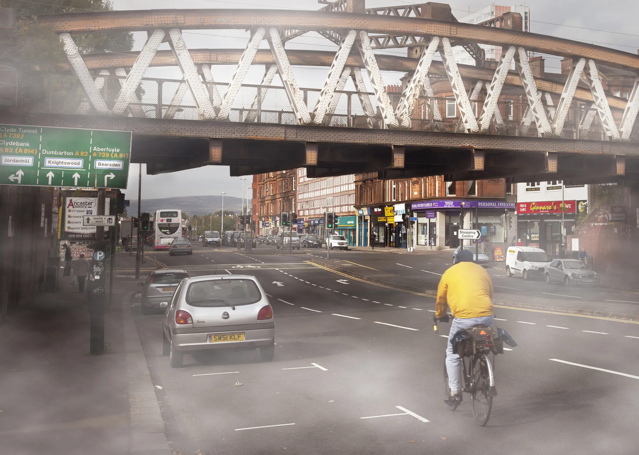
    For the HI-TRAC CMU bicycle detection solution, in-road piezo-electric sensors are located around 25m away from every road leading to a major junction.
  • Sophisticated resurfacing work
    January 7, 2022
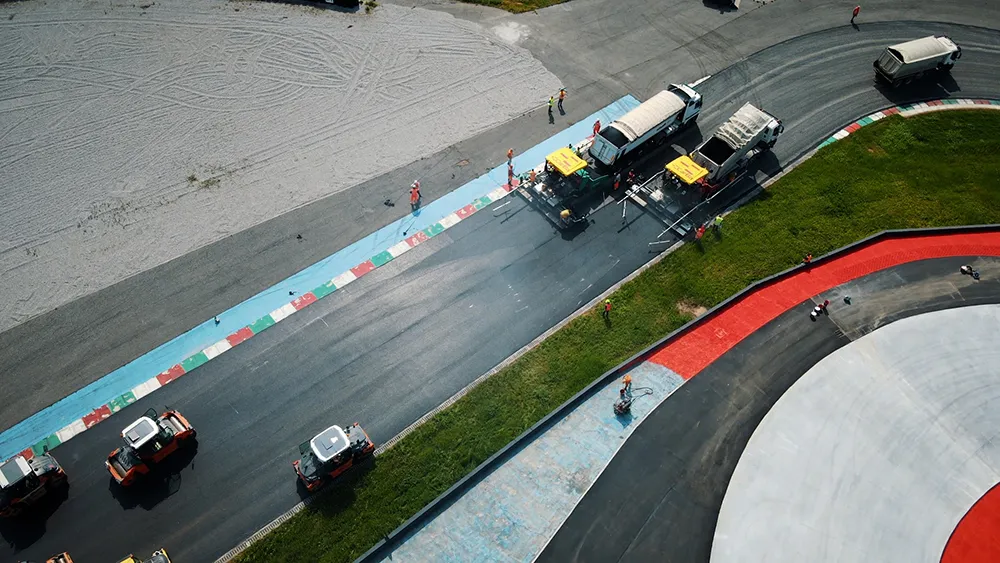
    Sophisticated technology has been used to help resurface a racetrack in Italy
  • Streetworks management
    July 19, 2012
    New software from Mayrise Systems is designed to allow local authorities to improve street works. Contractors use permits to restrict works to fixed dates and conditions and the latest version of the Mayrise Street Works software allows better scheduling of operations. The package can be used to manage notices, updates and the tracking of works status with automated alerts on over-running work. It also offers integrated MapNow mapping to provide a quick visual works locator, geographic sites analysis and fo