Mapping effectively with vehicle-based imaging

Yotta is offering an innovative vehicle-based imaging service that will provide accurate high-resolution panoramic street-level views of highway features. The vehicle is equipped with a 60 megapixel panoramic camera developed by Yotta and uses Applanix satellite positioning technology to log the exact location of each image. The vehicle cam improves street-level mapping operations with accurate 3D images of buildings and other highway features, such as signs, trees, barriers and fences. Called Y360, the veh
July 23, 2012 Read time: 2 mins
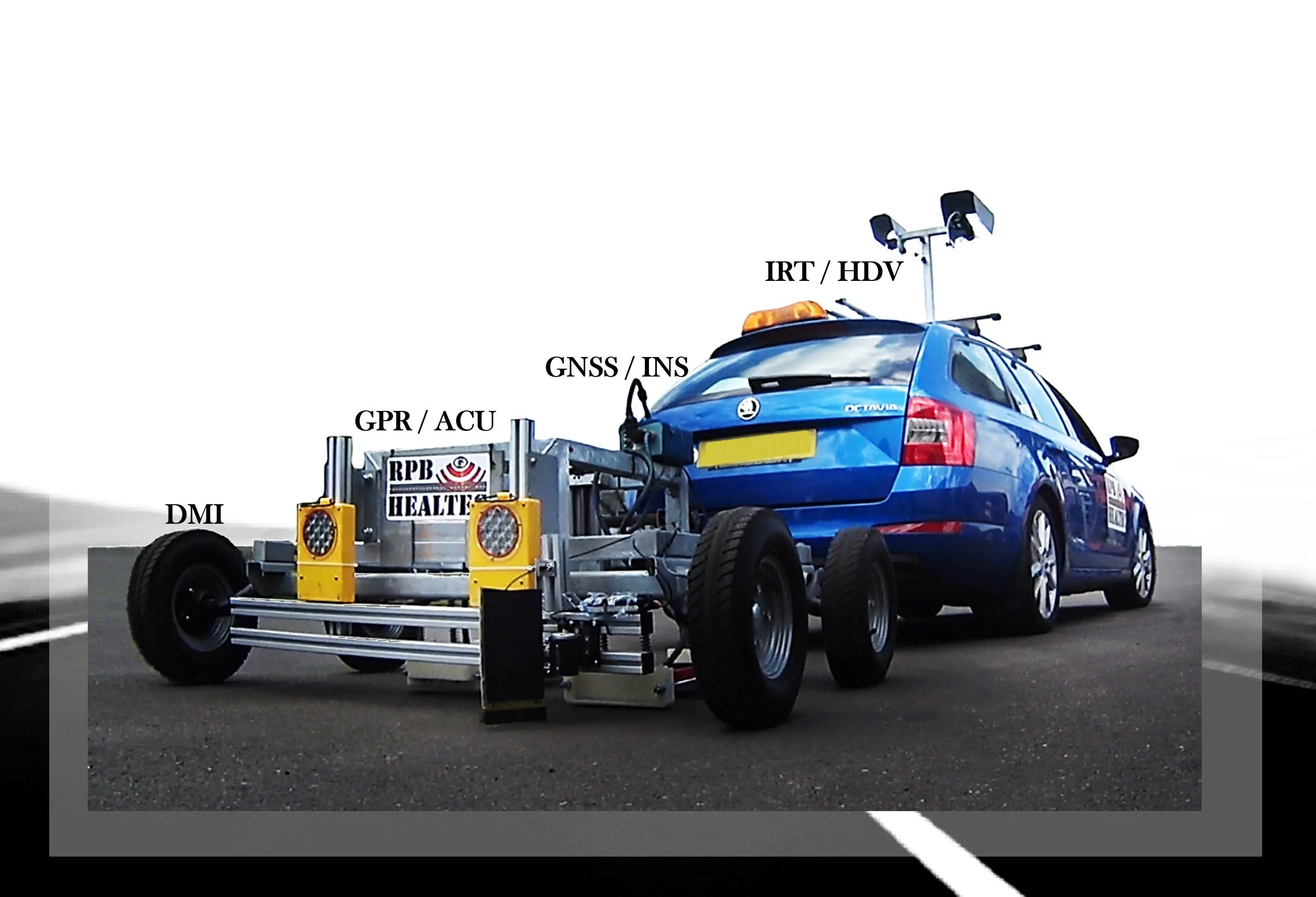
5153 Yotta DCL is offering an innovative vehicle-based imaging service that will provide accurate high-resolution panoramic street-level views of highway features. The vehicle is equipped with a 60 megapixel panoramic camera developed by Yotta and uses Applanix satellite positioning technology to log the exact location of each image. The vehicle cam improves street-level mapping operations with accurate 3D images of buildings and other highway features, such as signs, trees, barriers and fences. Called Y360, the vehicle's digital camera captures images every 2m, with the position calculated by combining GPS, inertial and optical tracking systems. These images are processed by Yotta software that gives the precise position and detailed information for each feature captured by the camera. According to the firm, Y360 offers a huge step forward in technology. The vehicle is being used for an array of applications including highway asset collection for local authorities, highways agencies and their contractors, and 3D mapping for utility companies.

For more information on companies in this article

Related Content

  • US asphalt and quarry show highlights new technology
    May 8, 2015
    New technology was one key focus area for the World of Asphalt/AGG1 event run recently in the US city of Baltimore - Mike Woof writes Technology has been a major focus for the combined World of Asphalt and AGG1 2015 exhibition and conference held in Baltimore. The exhibition area attracted 450 exhibitors and covered a larger area than for previous events, while over 10,000 education season tickets were bought by those wanting to attend the presentation sessions. The event was held from March 17th- March
  • NDT sensor fusion in structural pavement condition surveys
    February 27, 2017
    Early detection of pavement defects and the causes of deterioration is essential for effective maintenance planning, writes Dr Alena Uus* There is a need for optimisation and development of UK highway survey methods that would provide comprehensive information on the surface and subsurface pavement condition and operate at traffic speed, which eliminates the requirement for lane closures. Performance of non-destructive testing (NDT) methods commonly employed in pavement condition surveys can be potent
  • Utility machine innovations coming to market
    December 1, 2022
    A wide array of new items of compact utility equipment are coming to market, with low emissions and noise as key machine trends
  • Topcon unveils FC-336 date controller
    March 27, 2014
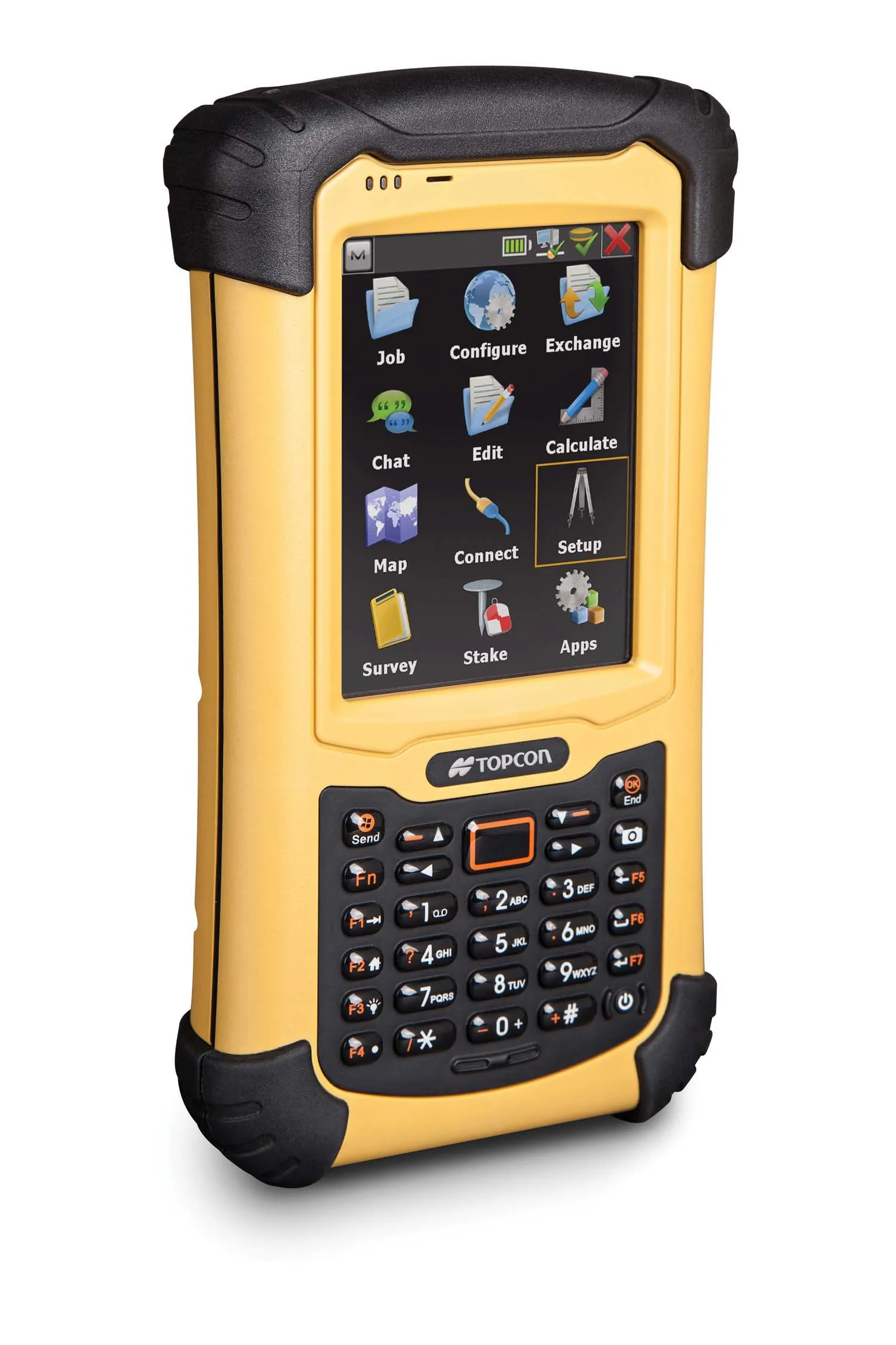
    Topcon has unveiled its new FC-336 data controller designed specifically for the construction industry. In addition to providing field crews with access to MAGNET Enterprise to send and receive data files, the new controller operates with Topcon MAGNET Field, Site and Layout software, as well as Topcon Pocket 3D. A compact and lightweight handheld controller, the FC-336 works with all Topcon GNSS receivers and total stations.