Mapping effectively with vehicle-based imaging

Yotta is offering an innovative vehicle-based imaging service that will provide accurate high-resolution panoramic street-level views of highway features. The vehicle is equipped with a 60 megapixel panoramic camera developed by Yotta and uses Applanix satellite positioning technology to log the exact location of each image. The vehicle cam improves street-level mapping operations with accurate 3D images of buildings and other highway features, such as signs, trees, barriers and fences. Called Y360, the veh
July 23, 2012 Read time: 2 mins
5153 Yotta DCL is offering an innovative vehicle-based imaging service that will provide accurate high-resolution panoramic street-level views of highway features. The vehicle is equipped with a 60 megapixel panoramic camera developed by Yotta and uses Applanix satellite positioning technology to log the exact location of each image. The vehicle cam improves street-level mapping operations with accurate 3D images of buildings and other highway features, such as signs, trees, barriers and fences. Called Y360, the vehicle's digital camera captures images every 2m, with the position calculated by combining GPS, inertial and optical tracking systems. These images are processed by Yotta software that gives the precise position and detailed information for each feature captured by the camera. According to the firm, Y360 offers a huge step forward in technology. The vehicle is being used for an array of applications including highway asset collection for local authorities, highways agencies and their contractors, and 3D mapping for utility companies.

For more information on companies in this article

Related Content

  • Developments in site survey solutions
    February 9, 2012
    Trimble is widening its portfolio of Connected Site survey solutions for the field and office. These upgraded tools allow surveyors to collect, share and deliver data faster to improve accuracy, efficiency and productivity.
  • Road and runway repair success
    July 2, 2012
    Fugro Aperio says it is improving the quality of road and airport runway repair techniques using its sophisticated ground penetrating radar (GPR) technology. The firm is now able to offer a combination of real time kinematic (RTK) GPS with multi channel radar systems due to partnerships with Yotta in the UK, and Pavement Management Services in Australia and the Middle East. This sophisticated package enables pre-planning of surveys, quicker execution and better positioning for more precise mapping of defect
  • EarthSense Systems releases air pollution map of the UK
    June 15, 2018
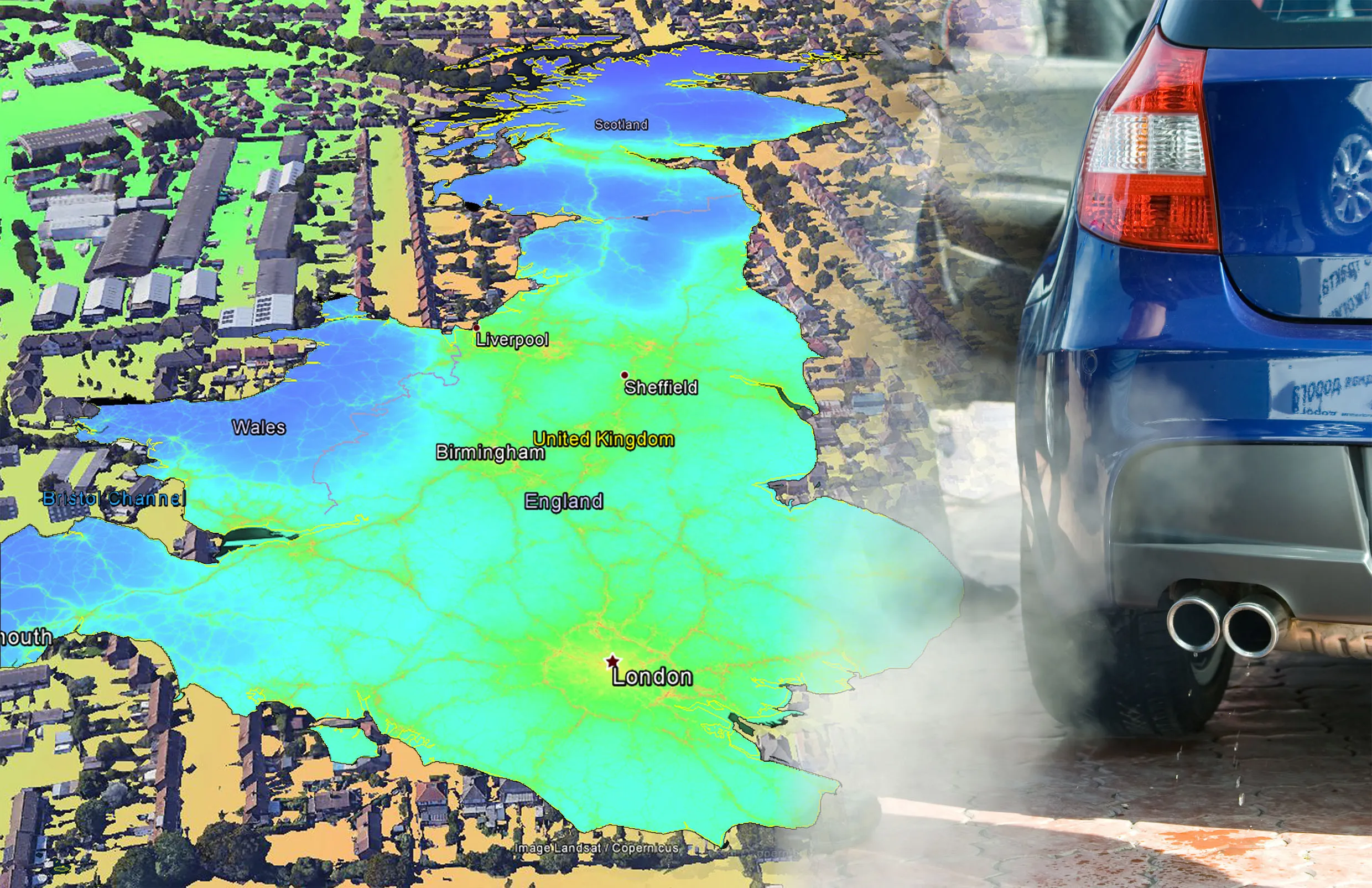
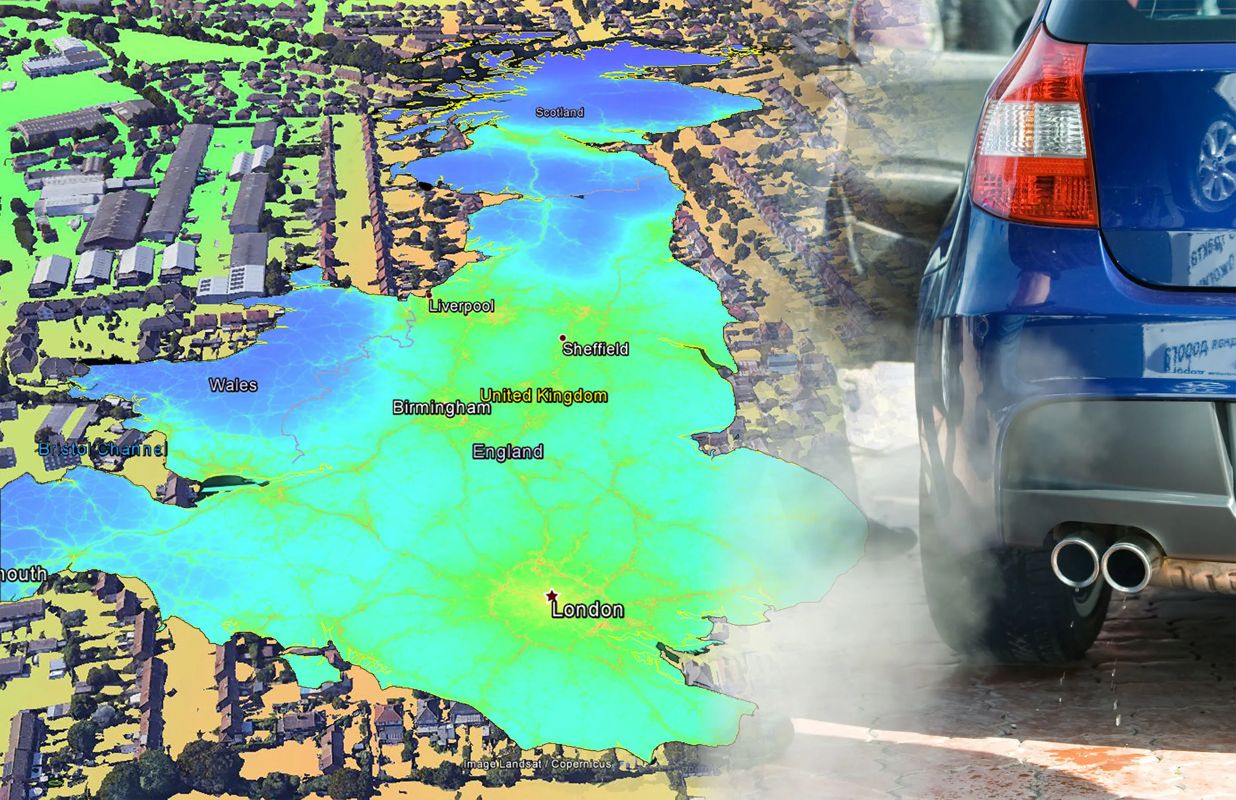
    EarthSense Systems has published MappAir, a high-resolution map of air pollution throughout the entire UK. MappAir shows how air pollution - specifically nitrogen dioxide - changes across the country and within towns and cities, highlighting likely sources and potential clean-air refuge areas. It combines data from satellites and its EarthSense Systems’ own air quality monitoring sensors along with open source data. The result, using complex modelling, creates a highly accurate map at 100m resolution, says
  • EarthSense Systems releases air pollution map of the UK
    June 26, 2018
    EarthSense Systems has published MappAir, a high-resolution map of air pollution throughout the entire UK MappAir shows how air pollution - specifically nitrogen dioxide - changes across the country and within towns and cities, highlighting likely sources and potential clean-air refuge areas. It combines data from satellites and its EarthSense Systems’ own air quality monitoring sensors along with open source data. The result, using complex modelling, creates a highly accurate map at 100m resolution, says