Mapping effectively with vehicle-based imaging

Yotta is offering an innovative vehicle-based imaging service that will provide accurate high-resolution panoramic street-level views of highway features. The vehicle is equipped with a 60 megapixel panoramic camera developed by Yotta and uses Applanix satellite positioning technology to log the exact location of each image. The vehicle cam improves street-level mapping operations with accurate 3D images of buildings and other highway features, such as signs, trees, barriers and fences. Called Y360, the veh
July 23, 2012 Read time: 2 mins
5153 Yotta DCL is offering an innovative vehicle-based imaging service that will provide accurate high-resolution panoramic street-level views of highway features. The vehicle is equipped with a 60 megapixel panoramic camera developed by Yotta and uses Applanix satellite positioning technology to log the exact location of each image. The vehicle cam improves street-level mapping operations with accurate 3D images of buildings and other highway features, such as signs, trees, barriers and fences. Called Y360, the vehicle's digital camera captures images every 2m, with the position calculated by combining GPS, inertial and optical tracking systems. These images are processed by Yotta software that gives the precise position and detailed information for each feature captured by the camera. According to the firm, Y360 offers a huge step forward in technology. The vehicle is being used for an array of applications including highway asset collection for local authorities, highways agencies and their contractors, and 3D mapping for utility companies.

For more information on companies in this article

Related Content

  • 3D Repo develop virtual reality safety app for Balfour Beatty
    April 18, 2017
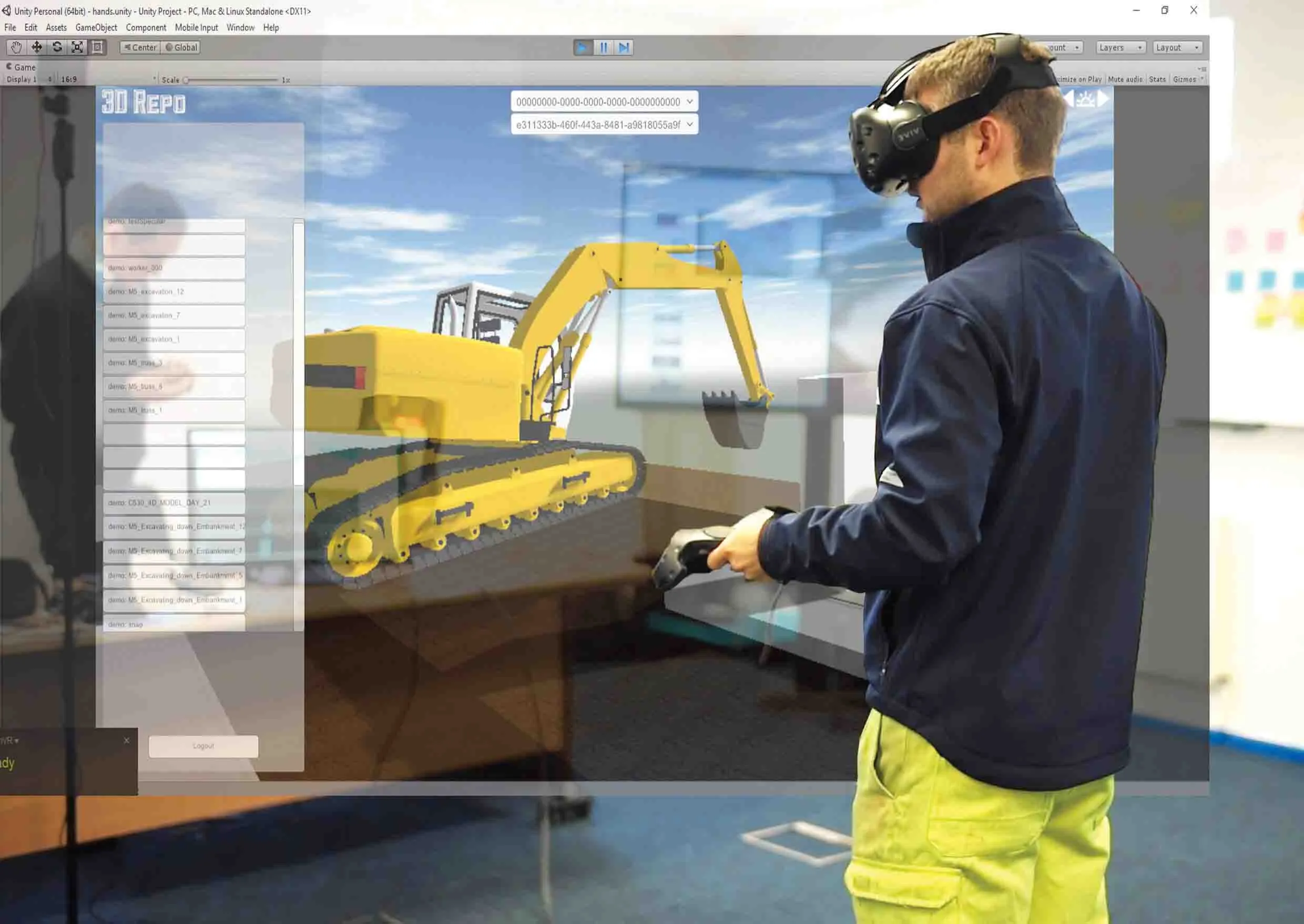
    3D Repo is working with contractors Balfour Beatty and Vinci and the UK roads agency Highways England to deploy a virtual reality simulation program for safety training. 3D Repo, a spin-off from University College London, develops open-source software for building information modelling in the cloud. More than 40 different 3D file formats are decomposed and federated in the company’s big data repository.
  • Safer cone collection with X-Cone among the latest safety innovations
    August 30, 2017
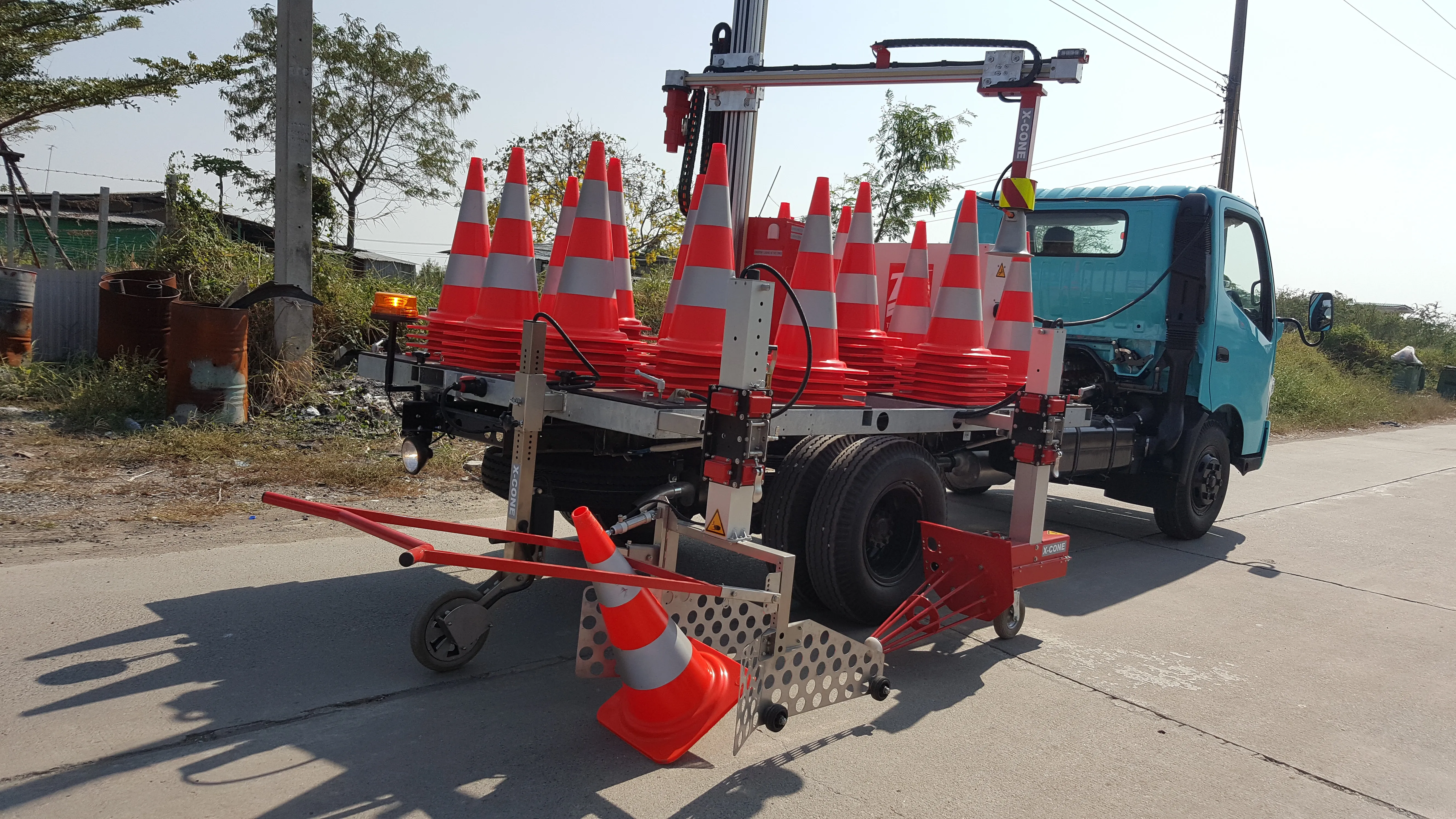
    X-Cone is a new traffic cone management system offering a higher level of safety for workers and maximum efficiency for contractors. Austrian-made X-Cone is a truck-mounted system that can manage the setting out and collection of cones from the flatbed of any 3.5tonne vehicle. It does not matter if the cones are straight or laying on the road, the X-cone can still manage the work quickly, safely and reliably, according to the manufacturer. For setting out standard cones, the driver can decide the distance b
  • Better maintenance is on the Horizon for UK’s Warrington Council
    May 15, 2018
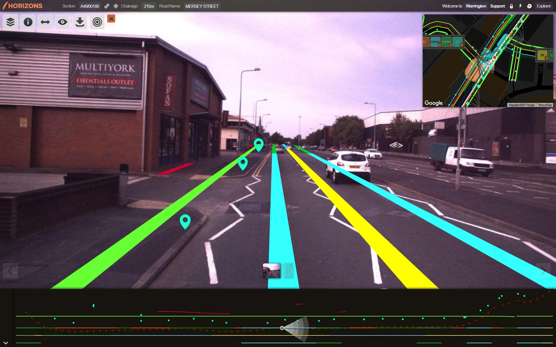
    Good, readable analysis of road surfaces to ensure sufficient maintenance funding is an essential part of asset management. The technical side of ensuring a good road surface is integral to maintaining safe, superior highway infrastructure. But securing sufficient government funding for such work – repairs and new-build – based on the current road surface is also essential. To evaluate road conditions and structure for such a business case, one UK local council turned to software provider Yotta.
  • Tackling Indian road safety
    December 5, 2012
    India’s road safety record is the world’s worst but there are plans to tackle the problems. Patrick Smith reports from New Delhi. A speeded up video of a short section of road in the Indian capital Delhi was followed by a question. “How many infringements did you count in that 25-second clip on a typical day in Delhi,” asked Dr Rohit Baluja, a question that brought understandable silence. It equated to hundreds of millions of infringements each year, said Dr Baluja, president, Institute of Road Traffic Educ