Mapping effectively with vehicle-based imaging

Yotta is offering an innovative vehicle-based imaging service that will provide accurate high-resolution panoramic street-level views of highway features. The vehicle is equipped with a 60 megapixel panoramic camera developed by Yotta and uses Applanix satellite positioning technology to log the exact location of each image. The vehicle cam improves street-level mapping operations with accurate 3D images of buildings and other highway features, such as signs, trees, barriers and fences. Called Y360, the veh
July 23, 2012 Read time: 2 mins
5153 Yotta DCL is offering an innovative vehicle-based imaging service that will provide accurate high-resolution panoramic street-level views of highway features. The vehicle is equipped with a 60 megapixel panoramic camera developed by Yotta and uses Applanix satellite positioning technology to log the exact location of each image. The vehicle cam improves street-level mapping operations with accurate 3D images of buildings and other highway features, such as signs, trees, barriers and fences. Called Y360, the vehicle's digital camera captures images every 2m, with the position calculated by combining GPS, inertial and optical tracking systems. These images are processed by Yotta software that gives the precise position and detailed information for each feature captured by the camera. According to the firm, Y360 offers a huge step forward in technology. The vehicle is being used for an array of applications including highway asset collection for local authorities, highways agencies and their contractors, and 3D mapping for utility companies.

For more information on companies in this article

Related Content

  • Accurate delivery vehicle schedules with Trimble
    January 26, 2018
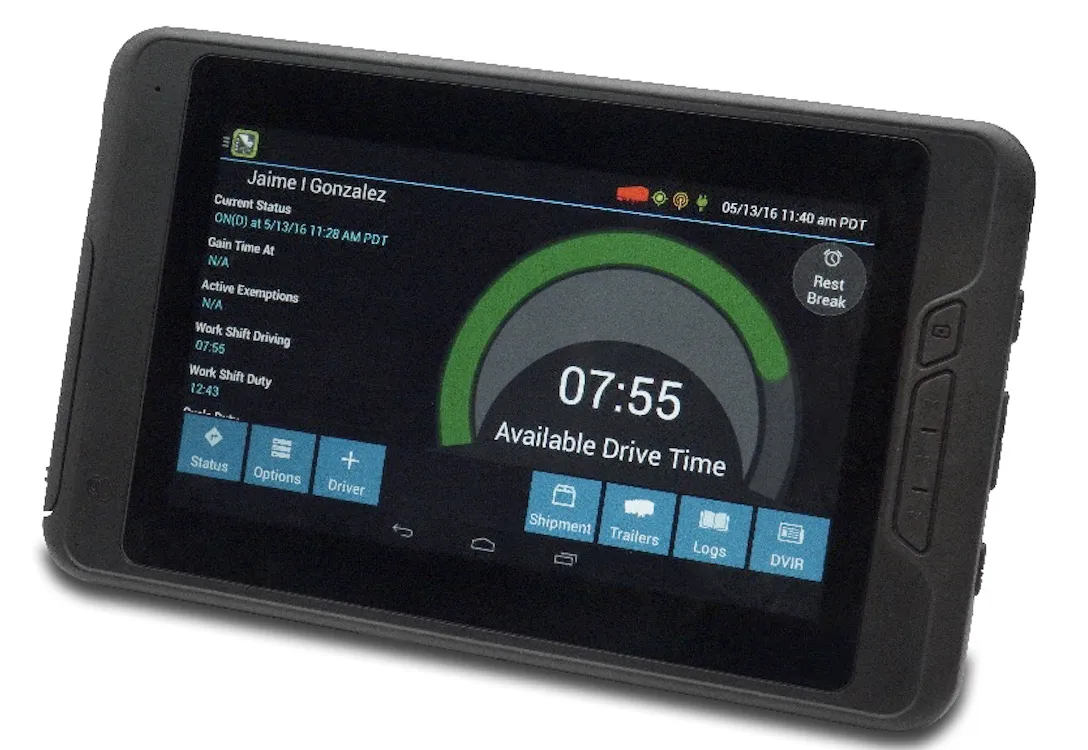
    The new FieldMaster Logs application from Trimble will assist construction firms running on-highway trucks in better scheduling of their fleets. This package has now been registered with the US Federal Motor Carrier Safety Administration (FMCSA) as a self-certified Electronic Logging Device (ELD) solution.
  • Think smart with RM XSMART
    July 13, 2022
    The launch of XSMART, by Rubble Master, is the next step towards the future digital construction site, explains Gerald Hanisch*, the company’s chief executive, and Markus Gaggl, the chief technical officer
  • Innovative moveable barrier system
    March 9, 2012
    New ownership offers greater overseas potential for Barrier Systems
  • Trimble is offering more sophisticated GNSS receivers
    January 6, 2017
    Trimble says that it is increasing the capabilities of its integrated GNSS survey receiver range. This line-up includes the Trimble R4, Trimble R6, Trimble R8 GNSS systems and is rounded out by the latest Trimble R10 GNSS System. The new improvements being added include increased satellite tracking and Real Time Kinematic (RTK) performance. These modernise the integrated receiver portfolio to add functionality, flexibility and capability as well as providing more options for surveyors.