Mapping effectively with vehicle-based imaging

Yotta is offering an innovative vehicle-based imaging service that will provide accurate high-resolution panoramic street-level views of highway features. The vehicle is equipped with a 60 megapixel panoramic camera developed by Yotta and uses Applanix satellite positioning technology to log the exact location of each image. The vehicle cam improves street-level mapping operations with accurate 3D images of buildings and other highway features, such as signs, trees, barriers and fences. Called Y360, the veh
July 23, 2012 Read time: 2 mins
5153 Yotta DCL is offering an innovative vehicle-based imaging service that will provide accurate high-resolution panoramic street-level views of highway features. The vehicle is equipped with a 60 megapixel panoramic camera developed by Yotta and uses Applanix satellite positioning technology to log the exact location of each image. The vehicle cam improves street-level mapping operations with accurate 3D images of buildings and other highway features, such as signs, trees, barriers and fences. Called Y360, the vehicle's digital camera captures images every 2m, with the position calculated by combining GPS, inertial and optical tracking systems. These images are processed by Yotta software that gives the precise position and detailed information for each feature captured by the camera. According to the firm, Y360 offers a huge step forward in technology. The vehicle is being used for an array of applications including highway asset collection for local authorities, highways agencies and their contractors, and 3D mapping for utility companies.

For more information on companies in this article

Related Content

  • Bonjour bio-based binders
    April 5, 2023
    How can Shell speed the whole road construction sector on its way to decarbonisation? Professor John Read and Richard Taylor have a few ideas.
  • Longer lasting road surfaces with advanced asphalt paving
    February 20, 2012
    Contractors face an array of sophisticated paving technologies, Mike Woof reports. Asphalt paving technology continues to advance as manufacturers develop more efficient and reliable equipment. Paving techniques are also improving, while new polymer modified bitumen materials and recycling methodologies further increase the range of road surfacing options available to the client and contractor.
  • Better asset management will reduce costs and improve efficiency
    August 22, 2013
    The FEHRL Infrastructure Research Meeting 2013 (FIRM 2013) raised key issues in transport innovation The key theme for FIRM 13 was advanced and innovative construction and maintenance, highlighting the importance of efficient asset management. Infravation, or infrastructure innovation, was another focus area for the event. Joris Al, FEHRL president said, “We aim to bring interested parties together. We’ve decided to build on existing knowledge rather than starting with front edge technologies and working
  • Technology helps earth moving and paving
    August 18, 2014
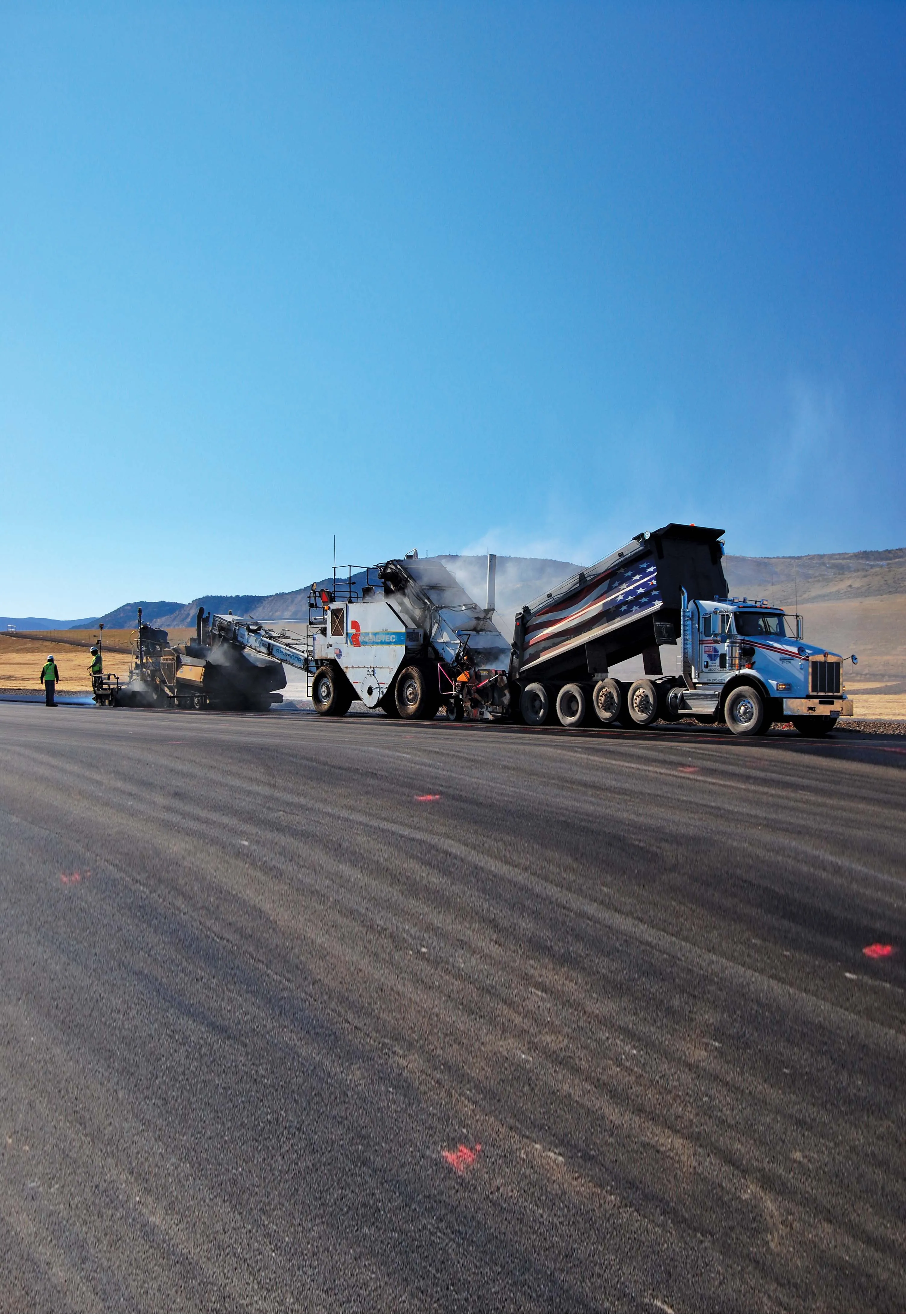
    Located in Meeker, Colorado and serving the area for air transportation is Meeker Airport, a C-II general aviation airport. The FAA designation of C-II means the airport can accommodate aircraft with wingspan of less than 24m. Runway 3-21 at the Rio Blanco county-owned Meeker Airport had reached a point of wear and deterioration that required full reconstruction and upgrades to remain compliant with the FAA’s C-II requirements.