Mapping effectively with vehicle-based imaging

Yotta is offering an innovative vehicle-based imaging service that will provide accurate high-resolution panoramic street-level views of highway features. The vehicle is equipped with a 60 megapixel panoramic camera developed by Yotta and uses Applanix satellite positioning technology to log the exact location of each image. The vehicle cam improves street-level mapping operations with accurate 3D images of buildings and other highway features, such as signs, trees, barriers and fences. Called Y360, the veh
July 23, 2012 Read time: 2 mins
5153 Yotta DCL is offering an innovative vehicle-based imaging service that will provide accurate high-resolution panoramic street-level views of highway features. The vehicle is equipped with a 60 megapixel panoramic camera developed by Yotta and uses Applanix satellite positioning technology to log the exact location of each image. The vehicle cam improves street-level mapping operations with accurate 3D images of buildings and other highway features, such as signs, trees, barriers and fences. Called Y360, the vehicle's digital camera captures images every 2m, with the position calculated by combining GPS, inertial and optical tracking systems. These images are processed by Yotta software that gives the precise position and detailed information for each feature captured by the camera. According to the firm, Y360 offers a huge step forward in technology. The vehicle is being used for an array of applications including highway asset collection for local authorities, highways agencies and their contractors, and 3D mapping for utility companies.

For more information on companies in this article

Related Content

  • SafeZone from Siemens ITS delivers safer roads in Sussex, UK
    May 18, 2018
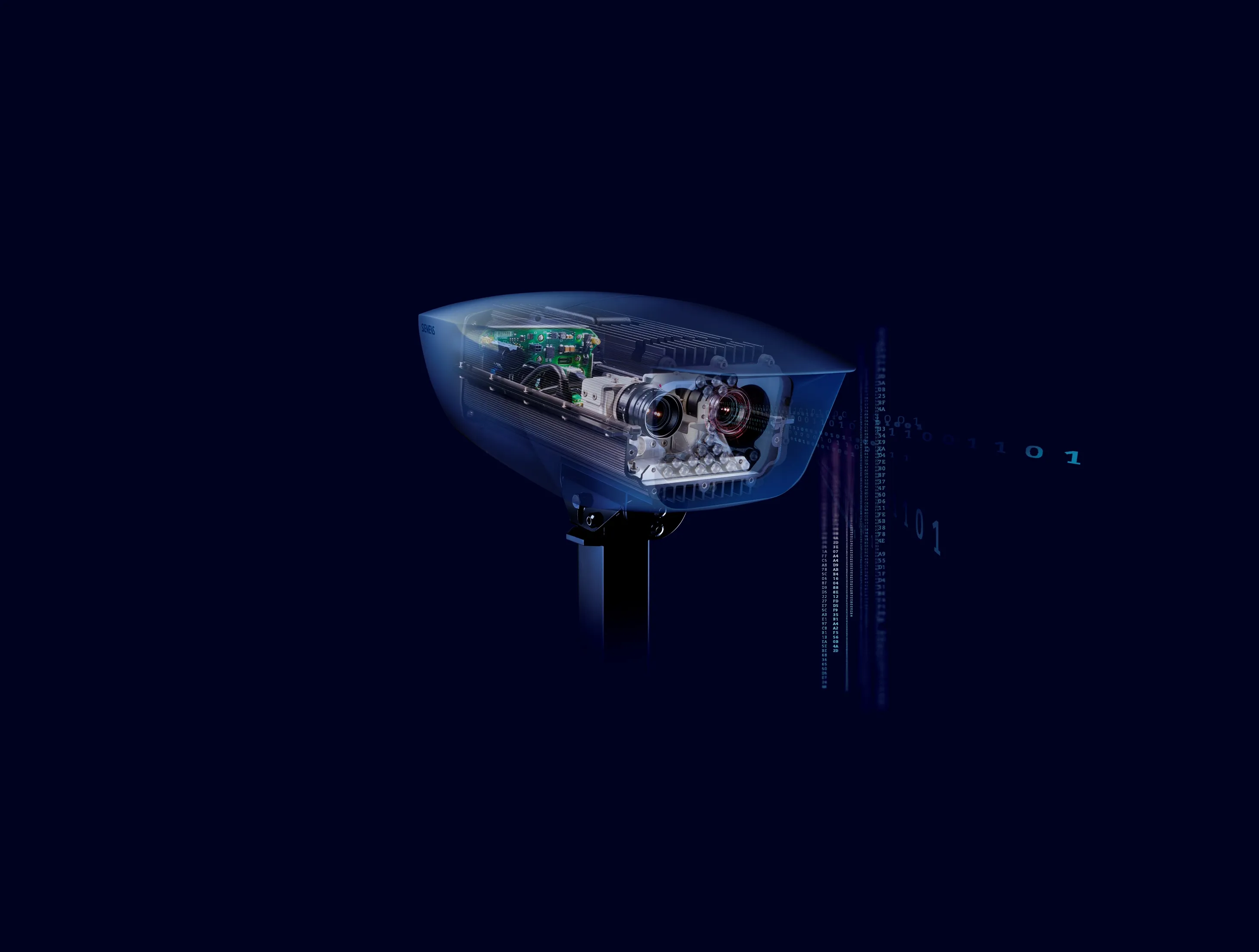
    Two SafeZone average speed schemes installed by Siemens in Brighton and Hastings, UK, are recording almost 100% speed compliance. The cameras have been deployed along the seafronts at Brighton and Hastings. The schemes use a combination of visible and invisible infrared lighting which is more sensitive to the effects on local residents and the environment. It’s the first time such schemes have been installed in the county. “Using a collection of cameras along Brighton seafront on Marine Parade and a furt
  • Commander shows versatility for GOMACO
    March 10, 2017
    GOMACO is offering a new solution for concrete slipforming at CONEXPO-CON/AGG 2017. The firm is increasing the versatility of its Commander III slipformer further with the development of the next generation machine and now offers it in three- as well as the original four-track configuration. The new three-track Commander IIIx has three tracks and can also be equipped with latest generation telematics technology.
  • Award-winning road and bridge design software
    March 20, 2012
    The integration of software tools, users and data was an important factor in a major highway project The giant High Five interchange in Texas, USA, emerged as a key winner in Bentley Systems' software awards this year. It won both the Innovation in Road and Bridge category and, significantly, Connecting Project Teams. The awards, a feature of the annual exhibition/conference organised by the software house, attract increasing interest from industry, and competition has become widespread, not least bec
  • Positioning tools from Topcon
    November 15, 2012
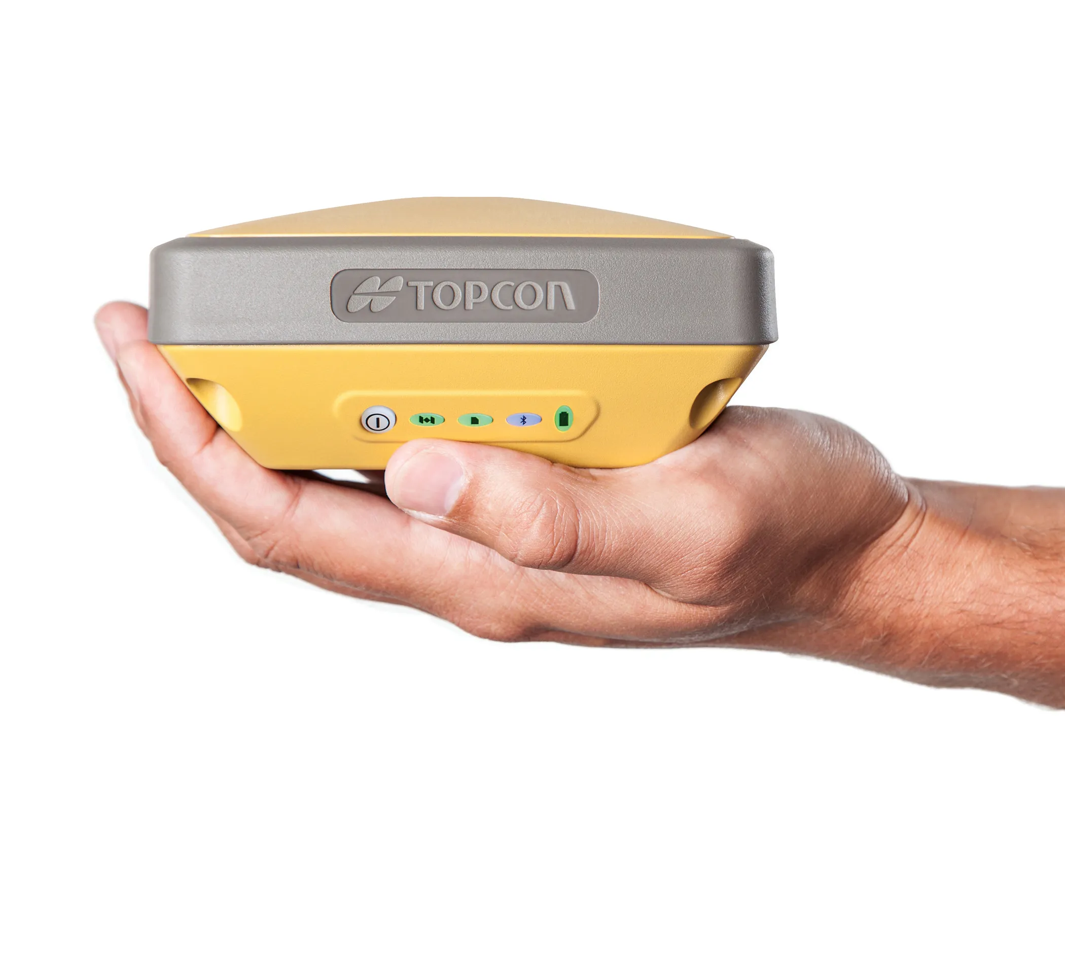
    Topcon is offering an array of new tools that can improve surveying and machine control capabilities for contractors. Light and compact, the B110 dual-frequency positioning receiver board features the new Vanguard ASIC system and can support 226 universal channels for GPS, GLONASS and Galileo tracking and scalable positioning. The B110 board’s small size, low power consumption and versatile communication interfaces make it easy to integrate into any precise positioning application. It features a high perfor