Leica’s new Digicat xf-Series cable locators and transmitters

Leica Geosystems has launched the latest additions to the Digisystem product range: the Leica Digicat xf-Series. With Leica Geosystems’ new xf-Series cable locators and transmitters, users are said to be able to accurately detect and trace utilities faster and over a greater distance. The Leica Digicat xf-Series is said by the Swiss firm to have been speci?cally designed with long distance tracing in mind. The ability to trace transmitter frequencies of 512Hz and 640Hz provides users with a greater tracing
April 3, 2013 Read time: 2 mins

Leica Geosystems has launched the latest additions to the Digisystem product range: the Leica Digicat xf-Series.

With 265 Leica Geosystems’ new xf-Series cable locators and transmitters, users are said to be able to accurately detect and trace utilities faster and over a greater distance.

The Leica Digicat xf-Series is said by the Swiss firm to have been specifically designed with long distance tracing in mind.

The ability to trace transmitter frequencies of 512Hz and 640Hz provides users with a greater tracing range as well as the ability to locate sewer-camera inspection systems. All new models are said by Leica to represent the latest design in cable technology. With modern Digital Signal Processing (DSP) and intelligent software, the locators, says Leica, continue to make light work of ground surveys.

All new models of the Leica Digicat xf-Series are said to make locating underground cables and pipes a simple and efficient task, increasing the operator’s productivity.

The Digicat 550i xf and 650i xf offer users the added benefit of depth estimation.

The Digicat 600i xf and 650i xf locators have the added benefit of an internal 32MB memory and Bluetooth wireless connectivity. Both models are said to integrate seamlessly with mobile mapping technology to log survey data, in addition to enabling wireless Bluetooth data transfer.

The newly developed Leica Digitex xf signal transmitters deliver a higher power output than previous models with the addition of extra low tracing frequencies. This improved performance is said by Leica to allow users to trace services over a greater distance, improve service detection in areas of high signal interference and to improve depth estimation when using a depth locator.

For more information on companies in this article

Related Content

  • Topcon unveils FC-336 date controller
    March 27, 2014
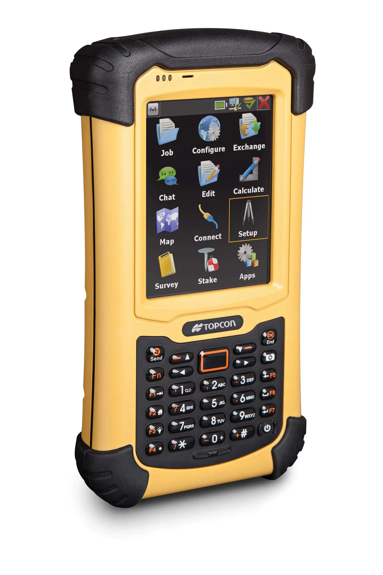
    Topcon has unveiled its new FC-336 data controller designed specifically for the construction industry. In addition to providing field crews with access to MAGNET Enterprise to send and receive data files, the new controller operates with Topcon MAGNET Field, Site and Layout software, as well as Topcon Pocket 3D. A compact and lightweight handheld controller, the FC-336 works with all Topcon GNSS receivers and total stations.
  • Innovative utilities approach
    March 20, 2012
    An innovative approach to the management of utilities works is the result of a partnership that has produced the Intelligent Trench. This novel underground mapping solution is also being combined with PelicanCorp's beforeUdig service to deliver a comprehensive and accurate national record-sharing service for underground assets in the UK. The new no-charge service allows local authorities and contractors to use the Intelligent Trench portal to access utility plan information directly from the portal's data b
  • In control, with advanced technology
    August 15, 2019
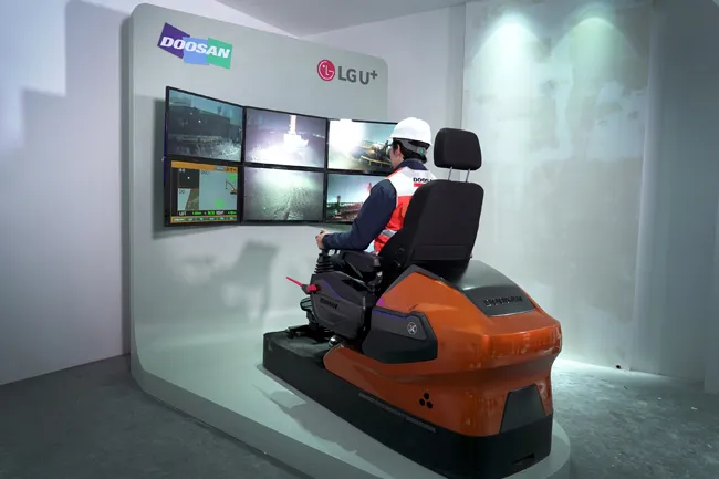
    Machine control technology continues to advance, with new systems offering contractors major gains in working efficiency The latest developments in machine control technology once again push the bar in terms of advancements. The latest systems allow contractors to work even more effectively and efficiently than before. Doosan has unveiled one of the first uses globally of 5G technology to remotely control construction and quarrying machines. The firm has coined the term ‘TeleOperation’ to describe the
  • Leica offers technology warranty
    November 27, 2012
    Leica Geosystems, the leading Swiss manufacturer of surveying instruments and measurement tools, has launched a new warranty and service package for its range of construction-related products. Protect by Leica Geosystems offers a lifetime manufacturer’s warranty, no cost for product repairs and maintenance associated with normal conditions of use, and certified quality. Makers of products to tackle onsite positioning, measuring, levelling, aligning and plumbing tasks, Leica Geosystems’ Protect package is sa