Leica’s new Digicat xf-Series cable locators and transmitters

Leica Geosystems has launched the latest additions to the Digisystem product range: the Leica Digicat xf-Series. With Leica Geosystems’ new xf-Series cable locators and transmitters, users are said to be able to accurately detect and trace utilities faster and over a greater distance. The Leica Digicat xf-Series is said by the Swiss firm to have been speci?cally designed with long distance tracing in mind. The ability to trace transmitter frequencies of 512Hz and 640Hz provides users with a greater tracing
April 3, 2013 Read time: 2 mins

Leica Geosystems has launched the latest additions to the Digisystem product range: the Leica Digicat xf-Series.

With 265 Leica Geosystems’ new xf-Series cable locators and transmitters, users are said to be able to accurately detect and trace utilities faster and over a greater distance.

The Leica Digicat xf-Series is said by the Swiss firm to have been specifically designed with long distance tracing in mind.

The ability to trace transmitter frequencies of 512Hz and 640Hz provides users with a greater tracing range as well as the ability to locate sewer-camera inspection systems. All new models are said by Leica to represent the latest design in cable technology. With modern Digital Signal Processing (DSP) and intelligent software, the locators, says Leica, continue to make light work of ground surveys.

All new models of the Leica Digicat xf-Series are said to make locating underground cables and pipes a simple and efficient task, increasing the operator’s productivity.

The Digicat 550i xf and 650i xf offer users the added benefit of depth estimation.

The Digicat 600i xf and 650i xf locators have the added benefit of an internal 32MB memory and Bluetooth wireless connectivity. Both models are said to integrate seamlessly with mobile mapping technology to log survey data, in addition to enabling wireless Bluetooth data transfer.

The newly developed Leica Digitex xf signal transmitters deliver a higher power output than previous models with the addition of extra low tracing frequencies. This improved performance is said by Leica to allow users to trace services over a greater distance, improve service detection in areas of high signal interference and to improve depth estimation when using a depth locator.

For more information on companies in this article

Related Content

  • Soil compaction efficiency is improving
    June 2, 2020
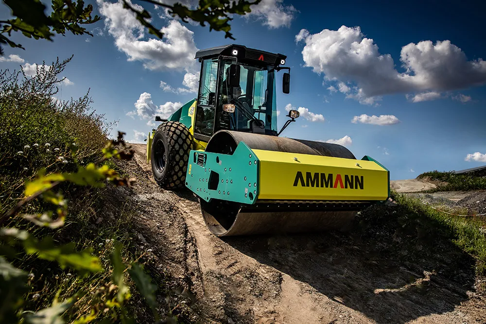
    The latest machines offers gains in soil compaction efficiency
  • Bridge inspection: destructive versus non-destructive methods
    January 6, 2015
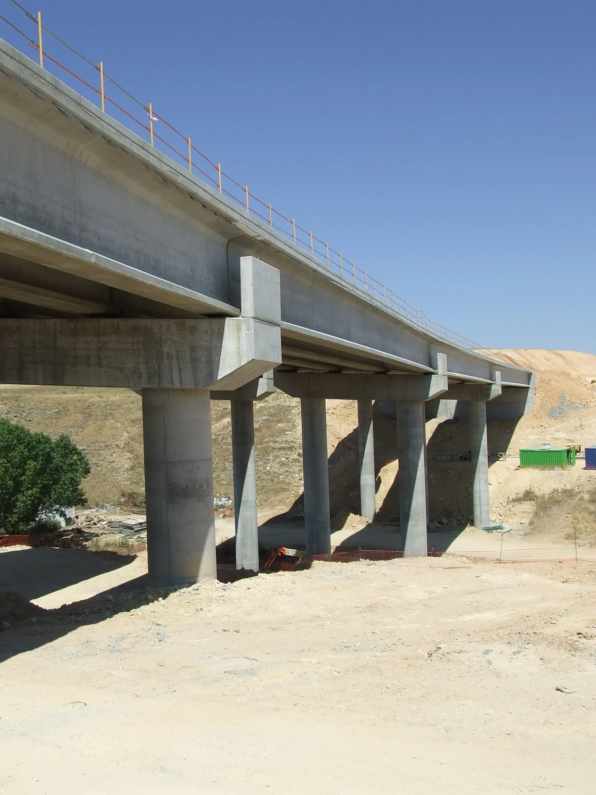
    Tens of thousands of bridges in the United States are in desperate need of repair. But where to begin analysing their deteriorating state? Roger Roberts* investigates tips and techniques for ensuring bridge safety The average age of America’s more than 600,000 crumbling bridges is 42 years – many are 60 to 80 years old. The situation is dire, with many described as functionally obsolete, according to the American Society of Civil Engineers’ latest edition of its Report Card for America’s Infrastructure.
  • Leica Geosystems' smart GNSS antenna
    August 25, 2016
    Leica Geosystems is now offering a smart, versatile antenna for use in GNSS monitoring applications. The firm says that this high-quality device is customisable to fit a wide array of project requirements. The unit is sophisticated, while offering reliability and ease-of-use and combines both GNSS antenna and receiver. The new smart antenna can be used for monitoring installations in static, long-term projects. The unit can also enable dynamic monitoring with up to 10Hz data streaming and multi-freque
  • Plantworx 2013 focus on latest safety technology for worksite vehicles
    November 28, 2012
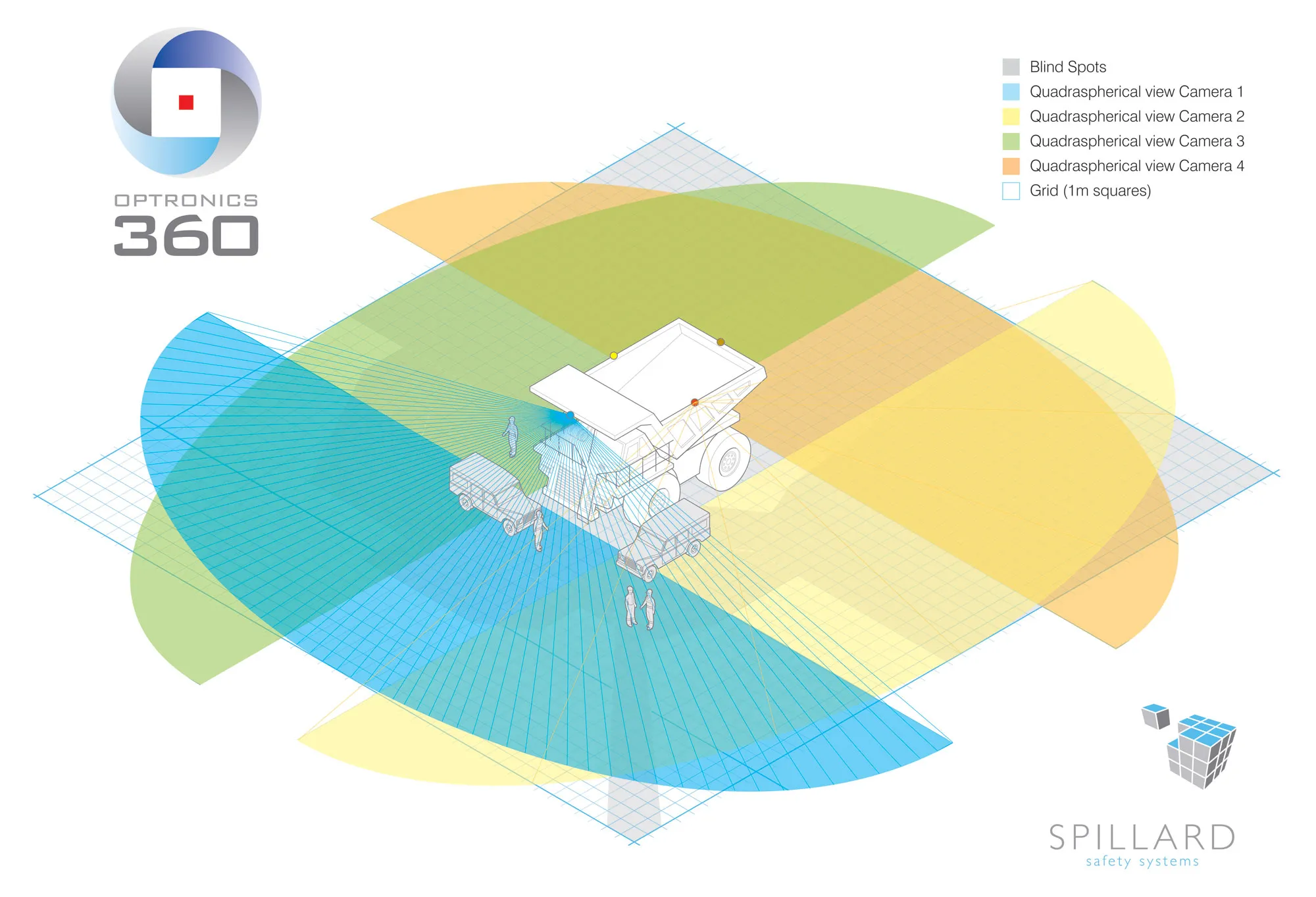
    Plantworx 2013 will showcase the latest worksite vehicle safety systems. GKD Technik’s (GKD) Incline Alert system will be among those featured at the UK’s largest construction show, spanning 100,000m², being held at Stoneleigh Park, Coventry Warwickshire on 16 May, 2013. The system is said by GKD to have been developed to meet a need for incline monitoring in the construction and utility maintenance industries, particularly for smaller excavators, which carry a higher risk of overturning when operating on i