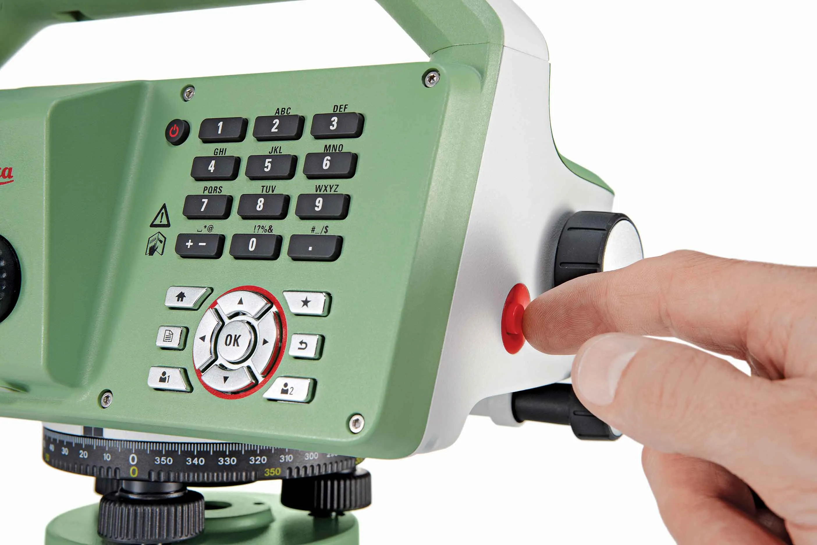
Leica’s new Digicat xf-Series cable locators and transmitters

Leica Geosystems has launched the latest additions to the Digisystem product range: the Leica Digicat xf-Series. With Leica Geosystems’ new xf-Series cable locators and transmitters, users are said to be able to accurately detect and trace utilities faster and over a greater distance. The Leica Digicat xf-Series is said by the Swiss firm to have been speci?cally designed with long distance tracing in mind. The ability to trace transmitter frequencies of 512Hz and 640Hz provides users with a greater tracing
April 3, 2013 Read time: 2 mins

Leica Geosystems has launched the latest additions to the Digisystem product range: the Leica Digicat xf-Series.

With 265 Leica Geosystems’ new xf-Series cable locators and transmitters, users are said to be able to accurately detect and trace utilities faster and over a greater distance.

The Leica Digicat xf-Series is said by the Swiss firm to have been specifically designed with long distance tracing in mind.

The ability to trace transmitter frequencies of 512Hz and 640Hz provides users with a greater tracing range as well as the ability to locate sewer-camera inspection systems. All new models are said by Leica to represent the latest design in cable technology. With modern Digital Signal Processing (DSP) and intelligent software, the locators, says Leica, continue to make light work of ground surveys.

All new models of the Leica Digicat xf-Series are said to make locating underground cables and pipes a simple and efficient task, increasing the operator’s productivity.

The Digicat 550i xf and 650i xf offer users the added benefit of depth estimation.

The Digicat 600i xf and 650i xf locators have the added benefit of an internal 32MB memory and Bluetooth wireless connectivity. Both models are said to integrate seamlessly with mobile mapping technology to log survey data, in addition to enabling wireless Bluetooth data transfer.

The newly developed Leica Digitex xf signal transmitters deliver a higher power output than previous models with the addition of extra low tracing frequencies. This improved performance is said by Leica to allow users to trace services over a greater distance, improve service detection in areas of high signal interference and to improve depth estimation when using a depth locator.

For more information on companies in this article

Related Content

  • Faster surveying with Leica Geosystems
    June 16, 2016
    Leica Geosystems says that the new LS15 tool can be used to complete all the key stages for levelling. The system has a high accuracy of 0.2mm, which can be achieved by aiming at the target via the colour touch display and pressing the measuring button. Key working features include an electronic bubble and tilt checks prior to each measurement and autofocus. These are said to help to reduce fatigue over a shift and help minimise the risk of working errors, ensuring consistently high accuracy of measureme
  • GPS technology developments
    June 13, 2012
    The use of GPS-inclusive technology is proving invaluable to contractors responsible for major transport-related construction projects across the globe. Guy Woodford looked at some of the latest and imminent site solutions featuring GPS Staff at Trimble Heavy Construction based in Sunnyvale, California recently finished developing three new solutions for connecting the construction site. The Trimble Connected Office, the Trimble Connected Controller and the Trimble Connected Machine, are all now available t
  • Positioning tools continue to improve
    July 16, 2012
    Topcon says that its new IP-S2 package combines GNNS positioning capabilities with inertial sensors, while the firm also has a solution for customers wanting to mix and match receiver components. The IP-S2 is a vehicle-mounted, mobile 3D tool that offers precision mapping and surveying capabilities. The package collects data using 3D laser scanners, LIDAR, and/or cameras, and this is then integrated, time-stamped and geo-referenced. The customer can use this assembled data to combine LIDAR point cloud and d
  • Trimble’s vision of a far more efficient future
    July 5, 2021
    Trimble is offering a future with more efficient, optimised construction operations for faster project delivery